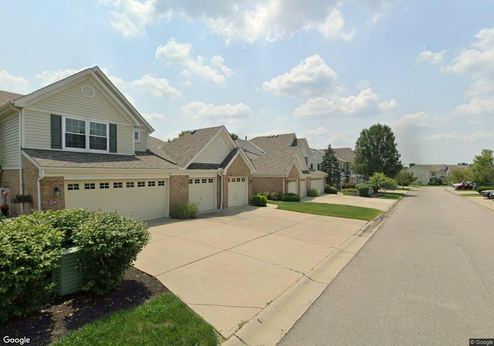
2135 Commons Circle Dr Batavia, OH 45103
Estimated Value: $259,000 - $283,000
2
Beds
3
Baths
1,618
Sq Ft
$166/Sq Ft
Est. Value
About This Home
This home is located at 2135 Commons Circle Dr, Batavia, OH 45103 and is currently estimated at $268,443, approximately $165 per square foot. 2135 Commons Circle Dr is a home located in Clermont County with nearby schools including Batavia Elementary School, Batavia Middle School, and Batavia High School.
Ownership History
Date
Name
Owned For
Owner Type
Purchase Details
Closed on
Oct 20, 2023
Sold by
Werline Bernard L and Werline Gayla L
Bought by
Lonna Amanda L
Current Estimated Value
Home Financials for this Owner
Home Financials are based on the most recent Mortgage that was taken out on this home.
Original Mortgage
$194,925
Outstanding Balance
$190,966
Interest Rate
7.19%
Mortgage Type
New Conventional
Estimated Equity
$77,477
Purchase Details
Closed on
Aug 28, 2017
Sold by
Werline Bernard L and Werline Gayla L
Bought by
Werline Bernard L and Werline Gayla L
Purchase Details
Closed on
Sep 10, 2004
Sold by
The Drees Co
Bought by
Werline Bernard L and Werline Gayla L
Home Financials for this Owner
Home Financials are based on the most recent Mortgage that was taken out on this home.
Original Mortgage
$134,712
Interest Rate
5.93%
Mortgage Type
Unknown
Create a Home Valuation Report for This Property
The Home Valuation Report is an in-depth analysis detailing your home's value as well as a comparison with similar homes in the area
Home Values in the Area
Average Home Value in this Area
Purchase History
| Date | Buyer | Sale Price | Title Company |
|---|---|---|---|
| Lonna Amanda L | $259,900 | None Listed On Document | |
| Lonna Amanda L | $259,900 | None Listed On Document | |
| Werline Bernard L | -- | None Available | |
| Werline Bernard L | $168,400 | -- |
Source: Public Records
Mortgage History
| Date | Status | Borrower | Loan Amount |
|---|---|---|---|
| Open | Lonna Amanda L | $194,925 | |
| Closed | Lonna Amanda L | $194,925 | |
| Previous Owner | Werline Bernard L | $134,712 | |
| Closed | Werline Bernard L | $33,678 |
Source: Public Records
Tax History
| Year | Tax Paid | Tax Assessment Tax Assessment Total Assessment is a certain percentage of the fair market value that is determined by local assessors to be the total taxable value of land and additions on the property. | Land | Improvement |
|---|---|---|---|---|
| 2024 | $2,820 | $76,200 | $10,430 | $65,770 |
| 2023 | $2,893 | $76,200 | $10,430 | $65,770 |
| 2022 | $2,863 | $56,210 | $7,700 | $48,510 |
| 2021 | $2,890 | $56,210 | $7,700 | $48,510 |
| 2020 | $2,905 | $56,210 | $7,700 | $48,510 |
| 2019 | $2,577 | $46,730 | $7,280 | $39,450 |
| 2018 | $2,666 | $46,730 | $7,280 | $39,450 |
| 2017 | $2,370 | $46,730 | $7,280 | $39,450 |
| 2016 | $2,482 | $45,640 | $7,700 | $37,940 |
| 2015 | $2,360 | $45,640 | $7,700 | $37,940 |
| 2014 | $2,360 | $45,640 | $7,700 | $37,940 |
| 2013 | $2,422 | $45,640 | $7,700 | $37,940 |
Source: Public Records
Map
Nearby Homes
- 2124 Commons Cir
- 2021 Commons Cir Unit 2F
- 2140 Crossridge Dr
- 2115 Crossridge Dr
- 2125 Picketside Dr
- 2188 Winemiller Ln
- 4333 Cordial Place
- 3 Old St Rt 32
- 2280 Siesta Dr
- 0 St Rt 132 Unit 1860682
- 393 Clark St
- 6030 Filager Rd
- 1 Ely St
- 1931 Pine Run Ln
- A Douglas Dr
- 2063 Sunflower Place
- 2068 Sunflower Place
- 4110 Sterling Place
- 3345 Pasture Cir
- 4102 Sterling Place
- 2135 Commons Cir Unit 8D
- 2137 Commons Circle Dr
- 2139 Commons Cir Unit 8B
- 2133 Commons Cir Unit 9A
- 2129 Commons Circle Dr
- 2129 Commons Cir Unit 9C
- 2131 Commons Cir Unit 9B
- 2141 Commons Cir Unit 8A
- 2125 Commons Circle Dr
- 2127 Commons Cir Unit 9D
- 2127 Commons Circle Dr
- 2125 Commons Cir
- 2121 Commons Cir Unit 9G
- 2121 Commons Circle Dr
- 2123 Commons Cir
- 2124 Commons Cir Unit 7C
- 2124 Commons Cir
- 2117 Commons Cir Unit 91
- 2128 Commons Cir Unit 7
- 2128 Commons Cir
Your Personal Tour Guide
Ask me questions while you tour the home.