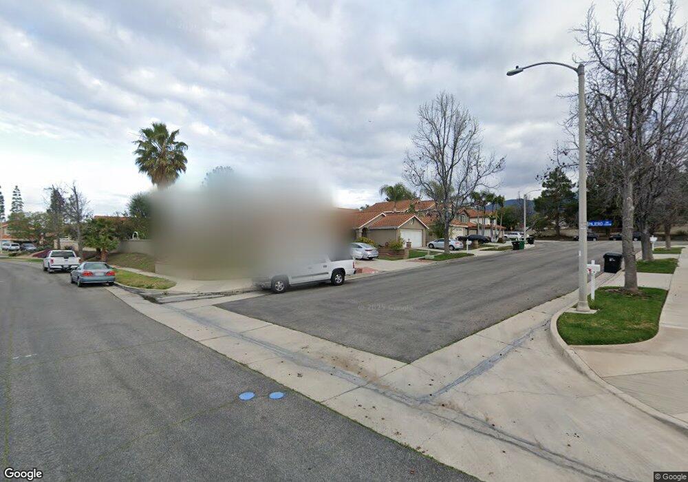
2135 Lenita Cir Corona, CA 92882
Central Corona NeighborhoodEstimated Value: $717,611 - $772,000
3
Beds
2
Baths
1,596
Sq Ft
$466/Sq Ft
Est. Value
About This Home
This home is located at 2135 Lenita Cir, Corona, CA 92882 and is currently estimated at $743,403, approximately $465 per square foot. 2135 Lenita Cir is a home located in Riverside County with nearby schools including Benjamin Franklin Elementary School, Letha Raney Intermediate School, and Corona High School.
Ownership History
Date
Name
Owned For
Owner Type
Purchase Details
Closed on
Apr 24, 2002
Sold by
Marynak John Joseph
Bought by
Marynak John Joseph
Current Estimated Value
Home Financials for this Owner
Home Financials are based on the most recent Mortgage that was taken out on this home.
Original Mortgage
$96,000
Interest Rate
7.13%
Purchase Details
Closed on
Jun 12, 1996
Sold by
Marynak Kimberly Ann
Bought by
Marynak John Joseph
Create a Home Valuation Report for This Property
The Home Valuation Report is an in-depth analysis detailing your home's value as well as a comparison with similar homes in the area
Home Values in the Area
Average Home Value in this Area
Purchase History
| Date | Buyer | Sale Price | Title Company |
|---|---|---|---|
| Marynak John Joseph | -- | North American Title Co | |
| Marynak John Joseph | -- | -- |
Source: Public Records
Mortgage History
| Date | Status | Borrower | Loan Amount |
|---|---|---|---|
| Closed | Marynak John Joseph | $96,000 |
Source: Public Records
Tax History Compared to Growth
Tax History
| Year | Tax Paid | Tax Assessment Tax Assessment Total Assessment is a certain percentage of the fair market value that is determined by local assessors to be the total taxable value of land and additions on the property. | Land | Improvement |
|---|---|---|---|---|
| 2025 | $3,040 | $275,813 | $112,574 | $163,239 |
| 2023 | $3,040 | $265,104 | $108,203 | $156,901 |
| 2022 | $2,944 | $259,907 | $106,082 | $153,825 |
| 2021 | $2,885 | $254,811 | $104,002 | $150,809 |
| 2020 | $2,854 | $252,199 | $102,936 | $149,263 |
| 2019 | $2,788 | $247,255 | $100,918 | $146,337 |
| 2018 | $2,726 | $242,408 | $98,940 | $143,468 |
| 2017 | $2,660 | $237,655 | $97,000 | $140,655 |
| 2016 | $2,633 | $232,997 | $95,099 | $137,898 |
| 2015 | $2,576 | $229,499 | $93,671 | $135,828 |
| 2014 | $2,485 | $225,005 | $91,837 | $133,168 |
Source: Public Records
Map
Nearby Homes
- 1386 Fairmont Dr
- 1317 Sonora Dr
- 1365 Kroonen Dr
- 1427 Baird St
- 1310 Brentwood Cir Unit B
- 2350 Centennial Way
- 1344 Brentwood Cir Unit C
- 1486 Baird St
- 2471 Via Pacifica
- 1535 Border Ave Unit C
- 1598 Border Ave Unit H
- 2425 Centennial Way
- 1554 Border Ave Unit G
- 2314 Mcneil Cir
- 2393 Mesquite Ln
- 2350 Claudia St
- 1284 Mayfair Dr
- 1757 Fraser Cir
- 2531 Independence Way
- 1185 Bridgeport Rd
- 2125 Lenita Cir
- 2155 Lenita Cir
- 2134 Estrado Cir
- 2144 Estrado Cir
- 2124 Estrado Cir
- 2154 Estrado Cir
- 2165 Lenita Cir
- 2134 Lenita Cir
- 2124 Lenita Cir
- 2144 Lenita Cir
- 1327 Pajero Dr
- 1319 Pajero Dr
- 1335 Pajero Dr
- 2154 Lenita Cir
- 1343 Pajero Dr
- 1311 Pajero Dr
- 2164 Lenita Cir
- 1351 Pajero Dr
- 1359 Pajero Dr
- 2202 Orchard Cir