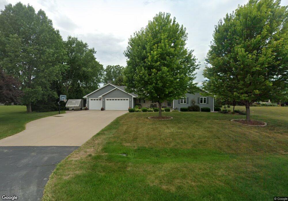
2137 Pheasant Run Trail de Pere, WI 54115
Estimated Value: $454,392 - $601,000
3
Beds
3
Baths
1,756
Sq Ft
$313/Sq Ft
Est. Value
About This Home
This home is located at 2137 Pheasant Run Trail, de Pere, WI 54115 and is currently estimated at $549,848, approximately $313 per square foot. 2137 Pheasant Run Trail is a home located in Brown County with nearby schools including Susie C. Altmayer Elementary School, De Pere Middle School, and Foxview Intermediate School.
Ownership History
Date
Name
Owned For
Owner Type
Purchase Details
Closed on
Dec 14, 2016
Sold by
Geocaris Michael C
Bought by
Geocaris Michael C
Current Estimated Value
Purchase Details
Closed on
Aug 29, 2012
Sold by
Vanderheuvel Carrie L and Mckeefry Dwayne E
Bought by
Geocaris Michael C
Home Financials for this Owner
Home Financials are based on the most recent Mortgage that was taken out on this home.
Original Mortgage
$218,500
Interest Rate
3.48%
Mortgage Type
New Conventional
Create a Home Valuation Report for This Property
The Home Valuation Report is an in-depth analysis detailing your home's value as well as a comparison with similar homes in the area
Home Values in the Area
Average Home Value in this Area
Purchase History
| Date | Buyer | Sale Price | Title Company |
|---|---|---|---|
| Geocaris Michael C | $202,600 | -- | |
| Geocaris Michael C | $230,000 | Title Revolution Llc |
Source: Public Records
Mortgage History
| Date | Status | Borrower | Loan Amount |
|---|---|---|---|
| Previous Owner | Geocaris Michael C | $218,500 |
Source: Public Records
Tax History Compared to Growth
Tax History
| Year | Tax Paid | Tax Assessment Tax Assessment Total Assessment is a certain percentage of the fair market value that is determined by local assessors to be the total taxable value of land and additions on the property. | Land | Improvement |
|---|---|---|---|---|
| 2024 | $5,568 | $379,700 | $75,100 | $304,600 |
| 2023 | $4,957 | $379,700 | $75,100 | $304,600 |
| 2022 | $4,685 | $379,700 | $75,100 | $304,600 |
| 2021 | $4,408 | $277,600 | $62,600 | $215,000 |
| 2020 | $4,328 | $277,600 | $62,600 | $215,000 |
| 2019 | $4,705 | $277,600 | $62,600 | $215,000 |
| 2018 | $4,815 | $277,600 | $62,600 | $215,000 |
| 2017 | $4,246 | $248,600 | $62,600 | $186,000 |
| 2016 | $4,518 | $223,700 | $51,800 | $171,900 |
| 2015 | $4,546 | $223,700 | $51,800 | $171,900 |
| 2014 | $5,866 | $223,700 | $51,800 | $171,900 |
| 2013 | $5,866 | $223,700 | $51,800 | $171,900 |
Source: Public Records
Map
Nearby Homes
- 1987 Kettle Creek Dr
- 1841 Ridgemont Cir
- 0 Half Crown Run
- 2125 Dollar Rd
- 1790 Dallas Ln
- 1774 Dallas Ln
- 0 Dallas Unit 50318709
- 1769 Dollar Rd
- 0 Dollar Rd
- 1650 Sweetbriar Way
- 1541 Red Hawk Landing Trail
- 3754 Lyla May Ct
- 1582 Red Hawk Landing Trail
- 1585 Red Hawk Landing Trail
- 1553 Red Hawk Landing Trail
- 3728 Rustic Ledge Way
- 3749 Rustic Ledge Way
- 1526 Red Hawk Landing Trail
- 1568 Brayden Ln
- 1535 Brayden Ln
- 2141 Pheasant Run Trail
- 2127 Pheasant Run Trail
- 2140 Pheasant Run Trail
- 2147 Pheasant Run Trail
- 2130 Pheasant Run Trail
- 2015 Kettle Creek Dr
- 2146 Pheasant Run Trail
- 2124 Pheasant Run Trail
- 3258 Barkwood Cir
- 3262 Barkwood Cir
- 3254 Barkwood Cir
- 3268 Barkwood Cir
- 2152 Pheasant Run Trail
- 2002 Pheasant Run Trail
- 1991 Kettle Creek Dr
- 3274 Barkwood Cir
- 3248 Barkwood Cir
- 3280 Barkwood Cir
- 2008 Kettle Creek Dr
- 2005 Pheasant Run Trail