Estimated Value: $236,547
Studio
--
Bath
--
Sq Ft
54,755
Sq Ft Lot
About This Home
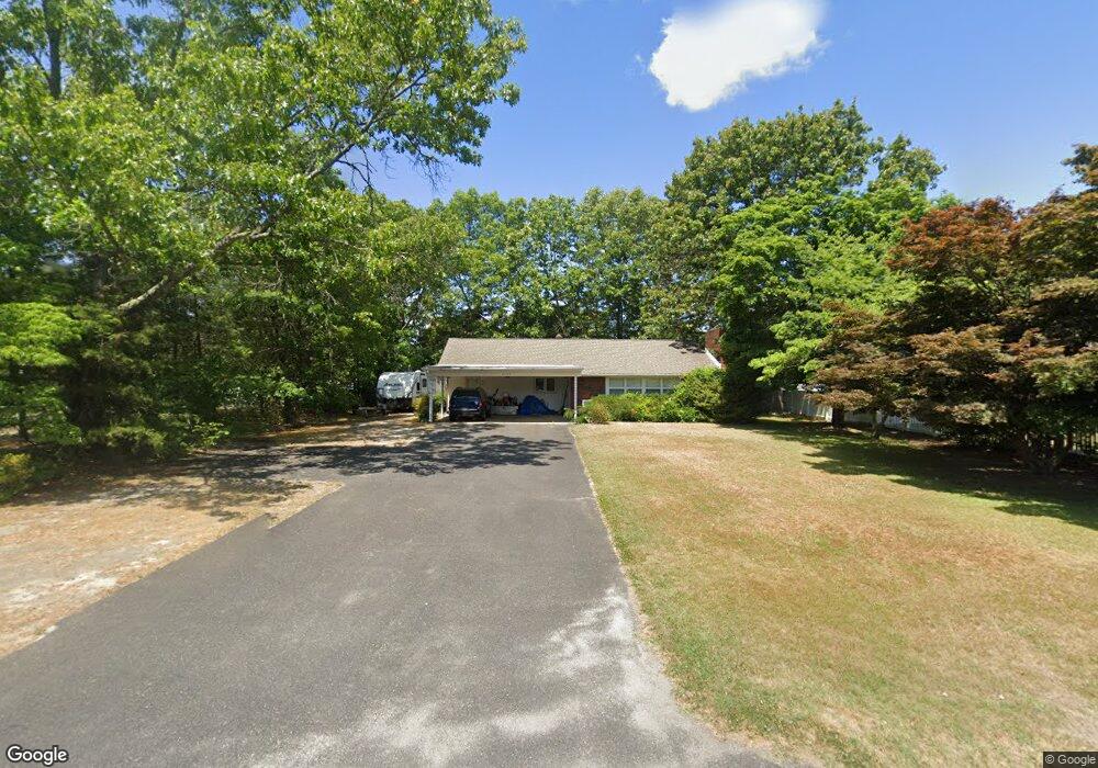
This home is located at 2139 Cooper Rd, Atco, NJ 08004 and is currently estimated at $236,547. 2139 Cooper Rd is a home located in Camden County with nearby schools including Thomas Richards Elementary School, Waterford Elementary School, and Atco Elementary School.
Ownership History
Date
Name
Owned For
Owner Type
Purchase Details
Closed on
Sep 25, 2023
Sold by
A L I Services Llc
Bought by
Mako Fire Security Limited Liability Company
Current Estimated Value
Purchase Details
Closed on
Jun 21, 2016
Sold by
Waterford Pines Developer S L L C
Bought by
A L I Services Llc
Home Financials for this Owner
Home Financials are based on the most recent Mortgage that was taken out on this home.
Interest Rate
3.54%
Purchase Details
Closed on
Jun 9, 2006
Sold by
Westrum Waterford Llc
Bought by
Waterford Pines Developers Llc
Purchase Details
Closed on
Aug 29, 1994
Sold by
Massa Herbert
Bought by
Castracane Donna
Home Financials for this Owner
Home Financials are based on the most recent Mortgage that was taken out on this home.
Original Mortgage
$79,000
Interest Rate
8.54%
Mortgage Type
FHA
Create a Home Valuation Report for This Property
The Home Valuation Report is an in-depth analysis detailing your home's value as well as a comparison with similar homes in the area
Home Values in the Area
Average Home Value in this Area
Purchase History
| Date | Buyer | Sale Price | Title Company |
|---|---|---|---|
| Mako Fire Security Limited Liability Company | $95,000 | First American Title Insurance | |
| Mako Fire Security Limited Liability Company | $95,000 | First American Title Insurance | |
| A L I Services Llc | $75,000 | -- | |
| Waterford Pines Developers Llc | -- | -- | |
| Castracane Donna | $79,500 | -- |
Source: Public Records
Mortgage History
| Date | Status | Borrower | Loan Amount |
|---|---|---|---|
| Previous Owner | A L I Services Llc | -- | |
| Previous Owner | Castracane Donna | $79,000 |
Source: Public Records
Tax History
| Year | Tax Paid | Tax Assessment Tax Assessment Total Assessment is a certain percentage of the fair market value that is determined by local assessors to be the total taxable value of land and additions on the property. | Land | Improvement |
|---|---|---|---|---|
| 2025 | $5,226 | $118,600 | $118,600 | -- |
| 2024 | $5,096 | $118,600 | $118,600 | $0 |
Source: Public Records
Map
Nearby Homes
- 2107 Cooper Rd
- 295 White Horse Pike
- 2157 Almira Ave
- 2297 Memorial Ct
- 344 Raritan Ave
- 2307 Cooper Rd
- 275 White Horse Pike
- 2317 Cooper Rd
- 22 Josie Ln
- 61 Virginia Dr
- 2172 Atco Ave
- 470 Waterfords Edge Ct
- 411 Atco Ave
- 21 Briarcliff Rd
- 9 Bromley Ct
- 10 Dartmouth Dr
- 196 White Horse Pike
- 402 Holly Dr
- 2216 Harrison Ave
- 181 White Horse Pike
Your Personal Tour Guide
Ask me questions while you tour the home.