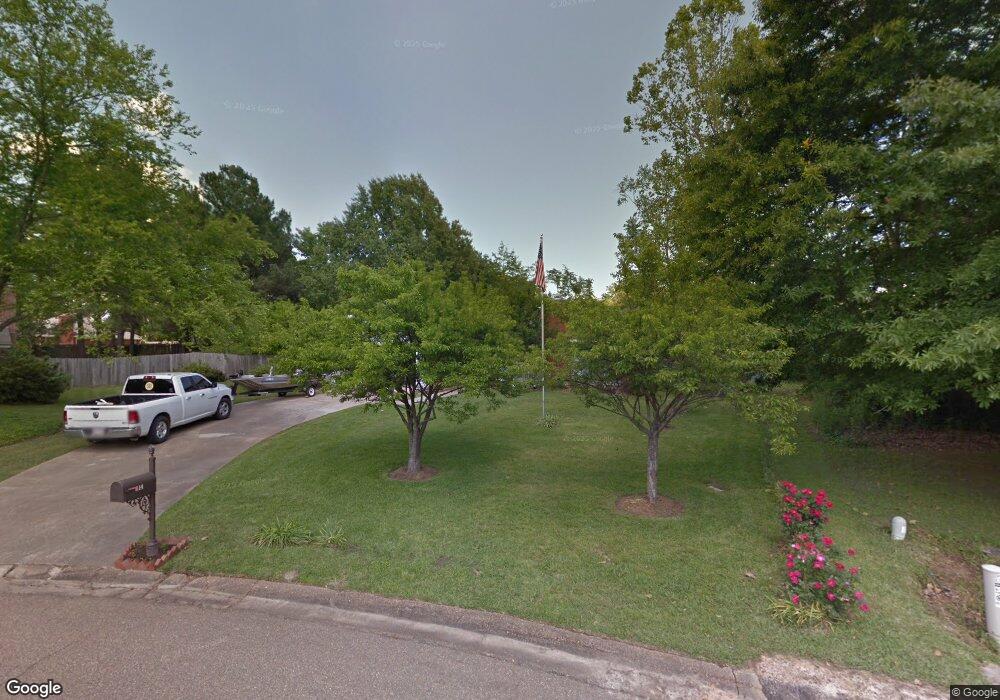
214 Oakbend Dr Madison, MS 39110
Estimated Value: $271,000 - $297,000
3
Beds
2
Baths
2,384
Sq Ft
$118/Sq Ft
Est. Value
About This Home
This home is located at 214 Oakbend Dr, Madison, MS 39110 and is currently estimated at $281,839, approximately $118 per square foot. 214 Oakbend Dr is a home located in Madison County with nearby schools including Madison Avenue Elementary, Madison Avenue Upper Elementary School, and Madison Middle School.
Ownership History
Date
Name
Owned For
Owner Type
Purchase Details
Closed on
Aug 30, 2024
Sold by
Booth Leonard Scott
Bought by
Booth Julia Y
Current Estimated Value
Home Financials for this Owner
Home Financials are based on the most recent Mortgage that was taken out on this home.
Original Mortgage
$263,070
Outstanding Balance
$259,793
Interest Rate
6.77%
Mortgage Type
New Conventional
Estimated Equity
$22,046
Purchase Details
Closed on
Aug 20, 2024
Sold by
Booth Julia Y
Bought by
Brandon Timothy and Brandon Bethany
Home Financials for this Owner
Home Financials are based on the most recent Mortgage that was taken out on this home.
Original Mortgage
$263,070
Outstanding Balance
$259,793
Interest Rate
6.77%
Mortgage Type
New Conventional
Estimated Equity
$22,046
Purchase Details
Closed on
Aug 12, 2014
Sold by
Booth Julia Y
Bought by
Booth Leonard Scott and Booth Julia Y
Create a Home Valuation Report for This Property
The Home Valuation Report is an in-depth analysis detailing your home's value as well as a comparison with similar homes in the area
Home Values in the Area
Average Home Value in this Area
Purchase History
| Date | Buyer | Sale Price | Title Company |
|---|---|---|---|
| Booth Julia Y | -- | Benchmark Title | |
| Brandon Timothy | -- | Benchmark Title | |
| Booth Leonard Scott | -- | None Available |
Source: Public Records
Mortgage History
| Date | Status | Borrower | Loan Amount |
|---|---|---|---|
| Open | Brandon Timothy | $263,070 |
Source: Public Records
Tax History
| Year | Tax Paid | Tax Assessment Tax Assessment Total Assessment is a certain percentage of the fair market value that is determined by local assessors to be the total taxable value of land and additions on the property. | Land | Improvement |
|---|---|---|---|---|
| 2025 | $2,188 | $18,777 | $0 | $0 |
| 2024 | $472 | $12,518 | $0 | $0 |
| 2023 | $472 | $12,518 | $0 | $0 |
| 2022 | $472 | $12,518 | $0 | $0 |
| 2021 | $472 | $12,052 | $0 | $0 |
| 2020 | $472 | $12,052 | $0 | $0 |
| 2019 | $472 | $12,052 | $0 | $0 |
| 2018 | $472 | $11,552 | $0 | $0 |
| 2017 | $453 | $11,390 | $0 | $0 |
| 2016 | $453 | $11,390 | $0 | $0 |
| 2015 | $453 | $11,390 | $0 | $0 |
| 2014 | -- | $12,631 | $0 | $0 |
Source: Public Records
Map
Nearby Homes
- 169 Saint Ives Dr
- 105 Victoria Place
- 1205 Woodberry Dr
- 1241 Woodberry Dr
- 161 Victoria Place
- 865 Wellington Way
- 290 Geneva Blvd
- 112 Woodsong Way
- 422 Summerville Dr
- 204 Belle Rose Cir
- 209 Pine Place
- 1141 Highway 51
- 212 N Ridge Dr
- 717 Wildberry Pointe
- 325 Mockingbird Ln
- 345 Avonlea Ln
- 106 Normandy Ct
- 220 Vintage Dr
- 636 Live Oak Dr
- 204 Summer Oak Trail
Your Personal Tour Guide
Ask me questions while you tour the home.