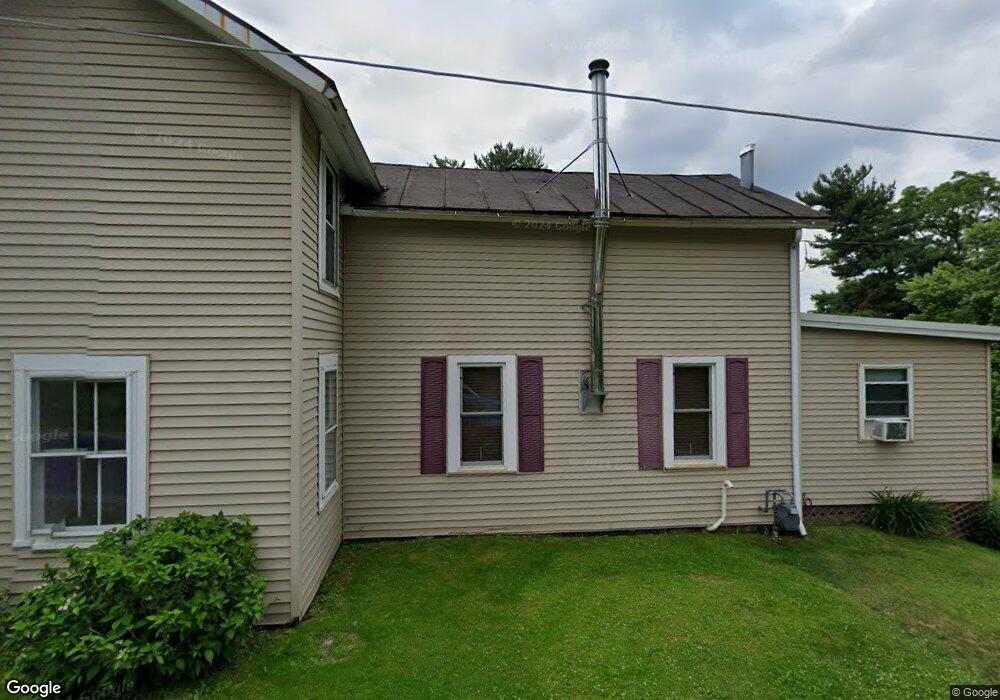
2140 Cotter Rd Mansfield, OH 44903
Estimated Value: $139,888 - $449,000
Studio
--
Bath
--
Sq Ft
1,742
Sq Ft Lot
About This Home
This home is located at 2140 Cotter Rd, Mansfield, OH 44903 and is currently estimated at $253,296. 2140 Cotter Rd is a home located in Richland County with nearby schools including Crestview Elementary School, Crestview Middle School, and Crestview High School.
Ownership History
Date
Name
Owned For
Owner Type
Purchase Details
Closed on
Sep 6, 2014
Sold by
Stankovich Sam and Stankovich Robin L
Bought by
Stankovich John A
Current Estimated Value
Home Financials for this Owner
Home Financials are based on the most recent Mortgage that was taken out on this home.
Original Mortgage
$49,500
Outstanding Balance
$22,619
Interest Rate
4.11%
Mortgage Type
Future Advance Clause Open End Mortgage
Estimated Equity
$230,677
Purchase Details
Closed on
Sep 13, 2001
Sold by
Backensto Robert K
Bought by
Stankovich Sam and Stankovich Robin L
Home Financials for this Owner
Home Financials are based on the most recent Mortgage that was taken out on this home.
Original Mortgage
$47,600
Interest Rate
7.03%
Mortgage Type
New Conventional
Create a Home Valuation Report for This Property
The Home Valuation Report is an in-depth analysis detailing your home's value as well as a comparison with similar homes in the area
Home Values in the Area
Average Home Value in this Area
Purchase History
| Date | Buyer | Sale Price | Title Company |
|---|---|---|---|
| Stankovich John A | $55,000 | Chicago Title | |
| Stankovich Sam | $59,500 | -- |
Source: Public Records
Mortgage History
| Date | Status | Borrower | Loan Amount |
|---|---|---|---|
| Open | Stankovich John A | $49,500 | |
| Previous Owner | Stankovich Sam | $47,600 |
Source: Public Records
Tax History Compared to Growth
Tax History
| Year | Tax Paid | Tax Assessment Tax Assessment Total Assessment is a certain percentage of the fair market value that is determined by local assessors to be the total taxable value of land and additions on the property. | Land | Improvement |
|---|---|---|---|---|
| 2024 | $64 | $1,760 | $70 | $1,690 |
| 2023 | $64 | $1,760 | $70 | $1,690 |
| 2022 | $73 | $1,770 | $80 | $1,690 |
| 2021 | $73 | $1,770 | $80 | $1,690 |
| 2020 | $73 | $1,770 | $80 | $1,690 |
| 2019 | $76 | $1,750 | $60 | $1,690 |
| 2018 | $77 | $1,750 | $60 | $1,690 |
| 2017 | $76 | $1,750 | $60 | $1,690 |
| 2016 | $71 | $1,700 | $60 | $1,640 |
| 2015 | $74 | $1,700 | $60 | $1,640 |
| 2014 | $74 | $1,700 | $60 | $1,640 |
| 2012 | $36 | $1,750 | $60 | $1,690 |
Source: Public Records
Map
Nearby Homes
- 2244 Pavonia North Rd
- 2202 Lakewood Dr
- 1742 Windsor Rd
- 2331 Fleming Falls Rd
- 1951 Woodmont Rd
- 1171 Hoover Rd
- 1696 Township Road 1419
- 1305 Wolford Rd
- 3695 McNaul Rd
- 1232 Eastview Dr
- 961 Neil Cir N
- 2236 Lakecrest Dr
- 698 Hoover Rd
- 2495 Emma Ln
- 1097 Delwood Rd
- 1098 Stewart Rd N
- 1495 Timber Rd
- 949 Beal Rd
- 1007 Delwood Rd
- 0 Satinwood Dr
