2141 Hawthorne Dr Defiance, OH 43512
Estimated Value: $209,000 - $256,000
3
Beds
2
Baths
1,958
Sq Ft
$118/Sq Ft
Est. Value
About This Home
This home is located at 2141 Hawthorne Dr, Defiance, OH 43512 and is currently estimated at $231,800, approximately $118 per square foot. 2141 Hawthorne Dr is a home located in Defiance County with nearby schools including Noble Elementary School, Tinora Elementary School, and Tinora Middle School.
Ownership History
Date
Name
Owned For
Owner Type
Purchase Details
Closed on
Dec 1, 2009
Sold by
Sigg Rhonda C and Sigg Thonda Christine
Bought by
George Robert T
Current Estimated Value
Home Financials for this Owner
Home Financials are based on the most recent Mortgage that was taken out on this home.
Original Mortgage
$106,250
Interest Rate
4.78%
Mortgage Type
Purchase Money Mortgage
Create a Home Valuation Report for This Property
The Home Valuation Report is an in-depth analysis detailing your home's value as well as a comparison with similar homes in the area
Home Values in the Area
Average Home Value in this Area
Purchase History
| Date | Buyer | Sale Price | Title Company |
|---|---|---|---|
| George Robert T | -- | -- |
Source: Public Records
Mortgage History
| Date | Status | Borrower | Loan Amount |
|---|---|---|---|
| Closed | George Robert T | $106,250 |
Source: Public Records
Tax History Compared to Growth
Tax History
| Year | Tax Paid | Tax Assessment Tax Assessment Total Assessment is a certain percentage of the fair market value that is determined by local assessors to be the total taxable value of land and additions on the property. | Land | Improvement |
|---|---|---|---|---|
| 2024 | $2,156 | $61,950 | $4,290 | $57,660 |
| 2023 | $2,156 | $61,950 | $4,290 | $57,660 |
| 2022 | $2,429 | $58,840 | $3,990 | $54,850 |
| 2021 | $2,429 | $58,840 | $3,990 | $54,850 |
| 2020 | $2,421 | $58,840 | $3,990 | $54,850 |
| 2019 | $2,009 | $49,990 | $3,990 | $46,000 |
| 2018 | $2,067 | $49,990 | $3,990 | $46,000 |
| 2017 | $2,103 | $49,983 | $3,986 | $45,997 |
| 2016 | $1,816 | $48,317 | $3,783 | $44,534 |
| 2015 | $923 | $48,317 | $3,783 | $44,534 |
| 2014 | $923 | $48,317 | $3,783 | $44,534 |
| 2013 | $923 | $48,317 | $3,783 | $44,534 |
| 2012 | $923 | $48,318 | $3,784 | $44,534 |
Source: Public Records
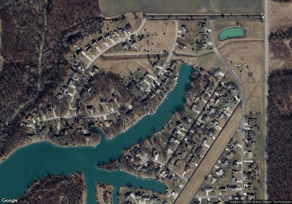
Map
Nearby Homes
- 4120 Misty Shores Rd
- 4131 E Rolling Meadows Blvd
- 8208 N State Route 66 Unit 8219
- 10587 Haller St
- 10510 Haller St
- 0 Saint Rt 66
- 6909 Ohio 66
- 20975 Buckskin Rd
- 1102 Anthony Wayne Blvd
- 588 Fugate Dr
- 205 Stadium Dr
- 16 College Place
- 558 Gibson St
- 202 Wilson St
- 0 W High St
- 383 Maumee River Crossing
- 0 Maumee River Crossing
- 00 Widmer St
- 0 Rose St Unit Lot L 6004739
- 202 Southworth St
- 2137 Hawthorne Dr
- 2153 Hawthorne Dr
- 2142 Hawthorne Dr
- 2138 Hawthorne Dr
- 2146 Hawthorne Dr
- 2150 Hawthorne Dr
- 2133 Hawthorne Dr
- 2134 Hawthorne Dr
- 2129 Hawthorne Dr
- 2130 Hawthorne Dr
- 2154 Hawthorne Dr
- 2157 Hawthorne Dr
- 2125 Hawthorne Dr
- 2158 Hawthorne Dr
- 2122 Hawthorne Dr
- 2162 Hawthorne Dr
- 2121 Hawthorne Dr
- 4136 Misty Shores
- 4140 Misty Shores
- 4132 Misty Shores