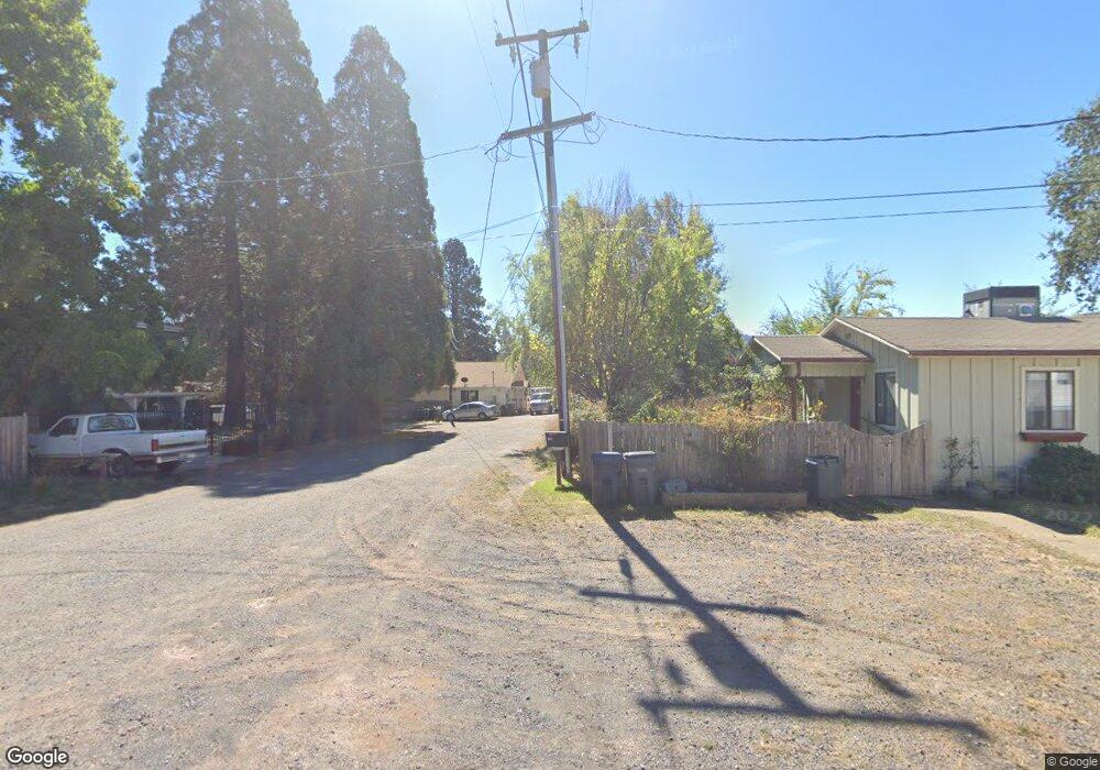
21421 Furlong Rd Willits, CA 95490
Estimated Value: $152,000 - $250,432
--
Bed
--
Bath
--
Sq Ft
4,051
Sq Ft Lot
About This Home
This home is located at 21421 Furlong Rd, Willits, CA 95490 and is currently estimated at $193,358. 21421 Furlong Rd is a home located in Mendocino County with nearby schools including Blosser Lane Elementary School, Brookside Elementary School, and Baechtel Grove Middle School.
Ownership History
Date
Name
Owned For
Owner Type
Purchase Details
Closed on
Apr 11, 2006
Sold by
Wood Erwin Rodney and Wood Rodney
Bought by
Wood Rodney
Current Estimated Value
Purchase Details
Closed on
Jan 20, 2006
Sold by
Wood Huston Erwin
Bought by
Wood Erwin Rodney
Purchase Details
Closed on
Jul 20, 2005
Sold by
Wood Huston E and Wood Huston Erwin
Bought by
Wood Huston Erwin
Purchase Details
Closed on
Mar 22, 2005
Sold by
Wood Huston Erwin
Bought by
Wood Huston Erwin
Create a Home Valuation Report for This Property
The Home Valuation Report is an in-depth analysis detailing your home's value as well as a comparison with similar homes in the area
Home Values in the Area
Average Home Value in this Area
Purchase History
| Date | Buyer | Sale Price | Title Company |
|---|---|---|---|
| Wood Rodney | -- | None Available | |
| Wood Erwin Rodney | -- | None Available | |
| Wood Huston Erwin | -- | -- | |
| Wood Huston Erwin | -- | -- |
Source: Public Records
Tax History Compared to Growth
Tax History
| Year | Tax Paid | Tax Assessment Tax Assessment Total Assessment is a certain percentage of the fair market value that is determined by local assessors to be the total taxable value of land and additions on the property. | Land | Improvement |
|---|---|---|---|---|
| 2025 | $1,439 | $116,807 | $5,986 | $110,821 |
| 2023 | $1,439 | $112,273 | $5,754 | $106,519 |
| 2022 | $1,378 | $110,073 | $5,642 | $104,431 |
| 2021 | $1,369 | $107,916 | $5,532 | $102,384 |
| 2020 | $1,337 | $106,826 | $5,490 | $101,336 |
| 2019 | $1,335 | $104,733 | $5,383 | $99,350 |
| 2018 | $1,217 | $102,680 | $5,277 | $97,403 |
| 2017 | $1,192 | $100,667 | $5,174 | $95,493 |
| 2016 | $1,184 | $98,693 | $5,072 | $93,621 |
| 2015 | $1,165 | $97,211 | $4,996 | $92,215 |
| 2014 | $1,151 | $95,307 | $4,898 | $90,409 |
Source: Public Records
Map
Nearby Homes
- 1389 Eva Clair St
- 0 Poplar Ave Unit 325063064
- 1591 S Main St
- 454 Della Ave
- 481 Della Ave
- 490 Della Ave
- 1051 S Main St
- 80 Fort Bragg Rd
- 755 Central Ave
- 1750 S Main St Unit 37
- 201 Bonnie Ln
- 288 E San Francisco Ave
- 155 California St
- 458 E San Francisco Ave
- 316 S Main St
- 65 Nancy Ln
- 98 Harms Ln
- 308 Coast St
- 307 Redwood Ave Unit 4
- 450 Grove St
- 21439 Furlong Rd
- 21411 Poplar Ave
- 21449 Furlong Rd
- 21473 Poplar Ave
- 21469 Furlong Rd
- 21431 Poplar Ave
- 21451 Poplar Ave
- 21461 Poplar Ave
- 1424 S Main St
- 1402 S Main St
- 21501 Poplar Ave
- 21420 Poplar Ave
- 21511 Poplar Ave
- 21450 Poplar Ave
- 21525 Poplar Ave
- 21480 Poplar Ave
- 1466 S Main St
- 1460 S Main St
- 21551 Poplar Ave
- 21441 Eva Clair St