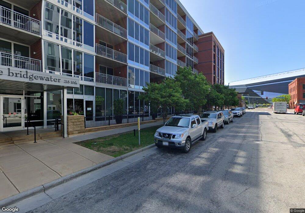
215 10th Ave S Unit 912 Minneapolis, MN 55415
Downtown East NeighborhoodEstimated Value: $850,000 - $1,157,238
3
Beds
3
Baths
2,311
Sq Ft
$416/Sq Ft
Est. Value
About This Home
This home is located at 215 10th Ave S Unit 912, Minneapolis, MN 55415 and is currently estimated at $961,810, approximately $416 per square foot. 215 10th Ave S Unit 912 is a home located in Hennepin County with nearby schools including Webster Elementary, Northeast Middle School, and Thomas Edison High School.
Ownership History
Date
Name
Owned For
Owner Type
Purchase Details
Closed on
Mar 23, 2018
Sold by
Karras Christopher G and Karras Ruth Mazo
Bought by
Healy Michael and Flaherty Jessica
Current Estimated Value
Home Financials for this Owner
Home Financials are based on the most recent Mortgage that was taken out on this home.
Original Mortgage
$1,556,000
Interest Rate
4.4%
Mortgage Type
New Conventional
Purchase Details
Closed on
Aug 18, 2016
Sold by
Howe Michael C and Niehaus Jeanne M
Bought by
Karras Christopher G and Karras Ruth Mazo
Purchase Details
Closed on
Jul 1, 2009
Sold by
The Bridgewater Lofts Llc
Bought by
Howe Michael C
Create a Home Valuation Report for This Property
The Home Valuation Report is an in-depth analysis detailing your home's value as well as a comparison with similar homes in the area
Home Values in the Area
Average Home Value in this Area
Purchase History
| Date | Buyer | Sale Price | Title Company |
|---|---|---|---|
| Healy Michael | $1,945,000 | Title Nexus Llc | |
| Karras Christopher G | $1,800,000 | Burnet Title | |
| Howe Michael C | $1,788,037 | -- |
Source: Public Records
Mortgage History
| Date | Status | Borrower | Loan Amount |
|---|---|---|---|
| Previous Owner | Healy Michael | $1,556,000 |
Source: Public Records
Tax History Compared to Growth
Tax History
| Year | Tax Paid | Tax Assessment Tax Assessment Total Assessment is a certain percentage of the fair market value that is determined by local assessors to be the total taxable value of land and additions on the property. | Land | Improvement |
|---|---|---|---|---|
| 2024 | $16,778 | $920,000 | $43,000 | $877,000 |
| 2023 | $15,484 | $968,000 | $43,000 | $925,000 |
| 2022 | $17,821 | $965,000 | $39,000 | $926,000 |
| 2021 | $18,035 | $1,049,000 | $32,000 | $1,017,000 |
| 2020 | $19,513 | $1,104,000 | $31,800 | $1,072,200 |
| 2019 | $20,038 | $1,104,000 | $26,200 | $1,077,800 |
| 2018 | $17,267 | $1,104,000 | $26,200 | $1,077,800 |
| 2017 | $19,835 | $1,147,500 | $13,500 | $1,134,000 |
| 2016 | $18,607 | $1,051,000 | $13,500 | $1,037,500 |
| 2015 | $17,561 | $954,000 | $13,500 | $940,500 |
| 2014 | -- | $843,500 | $13,500 | $830,000 |
Source: Public Records
Map
Nearby Homes
- 215 10th Ave S Unit 731
- 215 10th Ave S Unit 312
- 215 10th Ave S Unit 114
- 215 10th Ave S Unit 703
- 215 10th Ave S Unit 238
- 1111 W River Pkwy Unit 16C
- 1111 W River Pkwy Unit 26C
- 1111 W River Pkwy Unit 12E
- 1111 W River Pkwy Unit 33A
- 1111 W River Pkwy Unit 35C
- 1111 W River Pkwy Unit 26B
- 1111 W River Pkwy Unit 8D
- 1111 W River Pkwy Unit 31B
- 1240 S 2nd St Unit 1226
- 1240 S 2nd St Unit 1201
- 1240 S 2nd St Unit 822
- 1240 S 2nd St Unit 1004
- 1240 S 2nd St Unit 1419
- 1240 S 2nd St Unit 723
- 1240 S 2nd St Unit 922
- 215 10th Ave S Unit 429
- 215 10th Ave S Unit 1039
- 215 10th Ave S Unit 1014
- 215 10th Ave S Unit 1012
- 215 10th Ave S Unit 1011
- 215 10th Ave S Unit 1010
- 215 10th Ave S Unit 1009
- 215 10th Ave S Unit 1008
- 215 10th Ave S Unit 1007
- 215 10th Ave S Unit 1006
- 215 10th Ave S Unit 1005
- 215 10th Ave S Unit 1004
- 215 10th Ave S Unit 1003
- 215 10th Ave S Unit 1002
- 215 10th Ave S Unit 1001
- 215 10th Ave S Unit 939
- 215 10th Ave S Unit 914
- 215 10th Ave S Unit 913
- 215 10th Ave S Unit 911
- 215 10th Ave S Unit 910