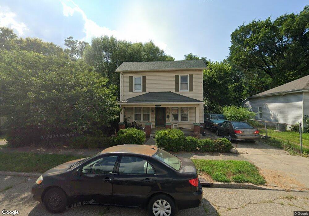
215 Bridge St Franklin, OH 45005
Estimated Value: $135,000 - $227,000
3
Beds
1
Bath
1,500
Sq Ft
$114/Sq Ft
Est. Value
About This Home
This home is located at 215 Bridge St, Franklin, OH 45005 and is currently estimated at $171,528, approximately $114 per square foot. 215 Bridge St is a home located in Warren County with nearby schools including Franklin High School.
Ownership History
Date
Name
Owned For
Owner Type
Purchase Details
Closed on
Jun 1, 2009
Sold by
Federal Home Loan Mortgage Corporation
Bought by
Mccoy Edward P and Mccoy Connie A
Current Estimated Value
Home Financials for this Owner
Home Financials are based on the most recent Mortgage that was taken out on this home.
Original Mortgage
$60,744
Interest Rate
4.86%
Mortgage Type
FHA
Purchase Details
Closed on
Jan 26, 2009
Sold by
Banks Michael L
Bought by
Federal Home Loan Mortgage Corp
Purchase Details
Closed on
Jun 13, 1994
Sold by
Mary Little Est
Bought by
Banks Michael L and Banks Kellie
Home Financials for this Owner
Home Financials are based on the most recent Mortgage that was taken out on this home.
Original Mortgage
$57,950
Interest Rate
8.45%
Mortgage Type
New Conventional
Create a Home Valuation Report for This Property
The Home Valuation Report is an in-depth analysis detailing your home's value as well as a comparison with similar homes in the area
Home Values in the Area
Average Home Value in this Area
Purchase History
| Date | Buyer | Sale Price | Title Company |
|---|---|---|---|
| Mccoy Edward P | $61,900 | Prodigy Title | |
| Federal Home Loan Mortgage Corp | $63,334 | None Available | |
| Banks Michael L | $61,000 | -- |
Source: Public Records
Mortgage History
| Date | Status | Borrower | Loan Amount |
|---|---|---|---|
| Previous Owner | Mccoy Edward P | $60,744 | |
| Previous Owner | Banks Michael L | $57,950 |
Source: Public Records
Tax History
| Year | Tax Paid | Tax Assessment Tax Assessment Total Assessment is a certain percentage of the fair market value that is determined by local assessors to be the total taxable value of land and additions on the property. | Land | Improvement |
|---|---|---|---|---|
| 2025 | $2,335 | $42,590 | $10,610 | $31,980 |
| 2024 | $2,335 | $42,590 | $10,610 | $31,980 |
| 2023 | $1,854 | $32,165 | $6,016 | $26,148 |
| 2022 | $1,822 | $32,165 | $6,017 | $26,149 |
| 2021 | $1,766 | $32,165 | $6,017 | $26,149 |
| 2020 | $1,608 | $25,526 | $4,774 | $20,752 |
| 2019 | $1,481 | $25,526 | $4,774 | $20,752 |
| 2018 | $1,266 | $25,526 | $4,774 | $20,752 |
| 2017 | $1,527 | $24,147 | $4,589 | $19,558 |
| 2016 | $1,523 | $24,147 | $4,589 | $19,558 |
| 2015 | $1,523 | $24,147 | $4,589 | $19,558 |
| 2014 | $1,373 | $24,150 | $4,590 | $19,560 |
| 2013 | $1,179 | $27,930 | $5,310 | $22,620 |
Source: Public Records
Map
Nearby Homes
- 221 Bridge St
- 217 Bridge St
- 229 Bridge St
- 230 Bridge St
- 235 Bridge St
- 214 Bridge St
- 303 Bridge St
- 123 Vanhorn Ave
- 123 Vanhorne Ave
- 117 Vanhorn Ave
- 309 Bridge St
- 222 Bridge St
- 117 Vanhorn Ave
- 315 Bridge St
- 111 Vanhorn Ave
- 219 Maxwell St
- 213 Maxwell St
- 232 Bridge St
- 212 Bridge St Unit B
- 212 Bridge St Unit E
Your Personal Tour Guide
Ask me questions while you tour the home.