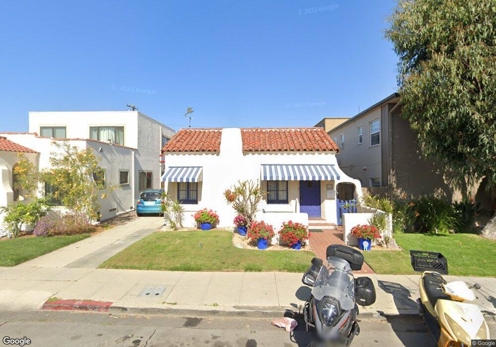
215 Nieto Ave Long Beach, CA 90803
Belmont Shore NeighborhoodEstimated Value: $1,142,937 - $1,420,000
2
Beds
1
Bath
1,128
Sq Ft
$1,138/Sq Ft
Est. Value
About This Home
This home is located at 215 Nieto Ave, Long Beach, CA 90803 and is currently estimated at $1,283,234, approximately $1,137 per square foot. 215 Nieto Ave is a home located in Los Angeles County with nearby schools including Lowell Elementary School, Rogers Middle School, and Woodrow Wilson High School.
Ownership History
Date
Name
Owned For
Owner Type
Purchase Details
Closed on
Sep 8, 2000
Sold by
Landis James
Bought by
Kjoss Lorentz A and Kjoss Britt Marie E
Current Estimated Value
Purchase Details
Closed on
Mar 13, 1995
Sold by
Toumaian Kevork
Bought by
Landis James
Home Financials for this Owner
Home Financials are based on the most recent Mortgage that was taken out on this home.
Original Mortgage
$203,000
Interest Rate
8.44%
Create a Home Valuation Report for This Property
The Home Valuation Report is an in-depth analysis detailing your home's value as well as a comparison with similar homes in the area
Home Values in the Area
Average Home Value in this Area
Purchase History
| Date | Buyer | Sale Price | Title Company |
|---|---|---|---|
| Kjoss Lorentz A | $375,000 | North American Title Co | |
| Landis James | $237,000 | Fidelity National Title Ins |
Source: Public Records
Mortgage History
| Date | Status | Borrower | Loan Amount |
|---|---|---|---|
| Previous Owner | Landis James | $203,000 |
Source: Public Records
Tax History
| Year | Tax Paid | Tax Assessment Tax Assessment Total Assessment is a certain percentage of the fair market value that is determined by local assessors to be the total taxable value of land and additions on the property. | Land | Improvement |
|---|---|---|---|---|
| 2025 | $2,888 | $220,295 | $125,013 | $95,282 |
| 2024 | $2,888 | $215,976 | $122,562 | $93,414 |
| 2023 | $2,838 | $211,742 | $120,159 | $91,583 |
| 2022 | $2,669 | $207,591 | $117,803 | $89,788 |
| 2021 | $2,611 | $203,522 | $115,494 | $88,028 |
| 2019 | $2,572 | $197,487 | $112,069 | $85,418 |
| 2018 | $2,451 | $193,616 | $109,872 | $83,744 |
| 2016 | $2,249 | $186,099 | $105,606 | $80,493 |
| 2015 | $2,159 | $183,304 | $104,020 | $79,284 |
| 2014 | $2,149 | $179,714 | $101,983 | $77,731 |
Source: Public Records
Map
Nearby Homes
- 237 Covina Ave
- 229 La Verne Ave
- 153 Granada Ave
- 210 Glendora Ave
- 5120 E Livingston Dr
- 150 Saint Joseph Ave
- 140 Saint Joseph Ave
- 207 Santa Ana Ave
- 143 Pomona Ave
- 2772 2A E 2nd St Unit A2
- 104 Saint Joseph Ave
- 158 Santa Ana Ave
- 4527 E Shaw St
- 74 Argonne Ave
- 118 Roycroft Ave
- 69 Glendora Ave
- 286 Glendora Ave
- 265 Bay Shore Ave
- 28 Argonne Ave
- 40 La Verne Ave
- 213 Nieto Ave
- 211 Nieto Ave
- 217-219 Nieto Units A-J Unit s A-J
- 216 Granada Ave
- 218 Granada Ave
- 209 Nieto Ave
- 220 Granada Ave
- 222 Granada Ave Unit A
- 221 Nieto Ave
- 212 Granada Ave
- 214 Nieto Ave
- 216 Nieto Ave
- 212 Nieto Ave
- 218 Nieto Ave
- 207 Nieto Ave
- 210 Nieto Ave
- 220 Nieto Ave
- 208 Granada Ave Unit 210B
- 208 Granada Ave Unit 208B
- 208 Granada Ave Unit 210D
Your Personal Tour Guide
Ask me questions while you tour the home.