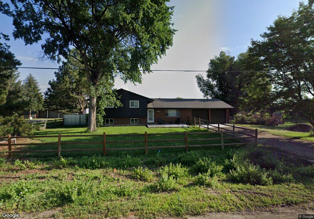
2150 Moffett Dr Fort Collins, CO 80526
Estimated Value: $674,000 - $823,000
4
Beds
4
Baths
2,115
Sq Ft
$355/Sq Ft
Est. Value
About This Home
This home is located at 2150 Moffett Dr, Fort Collins, CO 80526 and is currently estimated at $750,690, approximately $354 per square foot. 2150 Moffett Dr is a home located in Larimer County with nearby schools including Olander Elementary School, Blevins Middle School, and Rocky Mountain High School.
Ownership History
Date
Name
Owned For
Owner Type
Purchase Details
Closed on
Aug 8, 2005
Sold by
Sackschewsky Charlene J
Bought by
Swab Kevin and Kelly Robin H
Current Estimated Value
Home Financials for this Owner
Home Financials are based on the most recent Mortgage that was taken out on this home.
Original Mortgage
$255,000
Outstanding Balance
$133,869
Interest Rate
5.65%
Mortgage Type
Fannie Mae Freddie Mac
Estimated Equity
$616,821
Purchase Details
Closed on
Oct 1, 1987
Bought by
Sackschewsky Charlene J
Create a Home Valuation Report for This Property
The Home Valuation Report is an in-depth analysis detailing your home's value as well as a comparison with similar homes in the area
Home Values in the Area
Average Home Value in this Area
Purchase History
| Date | Buyer | Sale Price | Title Company |
|---|---|---|---|
| Swab Kevin | $360,000 | Guardian Title | |
| Sackschewsky Charlene J | -- | -- |
Source: Public Records
Mortgage History
| Date | Status | Borrower | Loan Amount |
|---|---|---|---|
| Open | Swab Kevin | $255,000 |
Source: Public Records
Tax History Compared to Growth
Tax History
| Year | Tax Paid | Tax Assessment Tax Assessment Total Assessment is a certain percentage of the fair market value that is determined by local assessors to be the total taxable value of land and additions on the property. | Land | Improvement |
|---|---|---|---|---|
| 2025 | $4,233 | $47,188 | $9,782 | $37,406 |
| 2024 | $4,029 | $47,188 | $9,782 | $37,406 |
| 2022 | $3,960 | $41,283 | $10,147 | $31,136 |
| 2021 | $4,003 | $42,471 | $10,439 | $32,032 |
| 2020 | $3,754 | $39,489 | $10,439 | $29,050 |
| 2019 | $3,770 | $39,489 | $10,439 | $29,050 |
| 2018 | $3,387 | $36,562 | $10,512 | $26,050 |
| 2017 | $3,376 | $36,562 | $10,512 | $26,050 |
| 2016 | $2,682 | $28,903 | $11,622 | $17,281 |
| 2015 | $2,663 | $28,900 | $11,620 | $17,280 |
| 2014 | $2,562 | $27,630 | $5,970 | $21,660 |
Source: Public Records
Map
Nearby Homes
- 2025 Cheshire St
- 2 County Road 19
- 3136 Birmingham Dr
- 2800 S Taft Hill Rd
- 1819 Birmingham Dr
- 3525 Auntie Stone St Unit 8
- 2607 S Taft Hill Rd
- 2114 Water Blossom Ln
- 3366 Liverpool St
- 2415 Dalton Dr
- 1905 Yorktown Ave
- 2855 Trenton Way
- 1601 W Swallow Rd Unit 1
- 1601 W Swallow Rd Unit 9
- 1601 W Swallow Rd
- 1531 W Swallow Rd Unit 25
- 1531 W Swallow Rd Unit 28
- 1631 Enfield St
- 3712 Mead St
- 3717 S Taft Hill Rd Unit 279
- 2138 Moffett Dr
- 2224 Moffett Dr
- 2209 Moffett Dr
- 2226 Moffett Dr
- 3041 S Taft Hill Rd
- 3109 S Taft Hill Rd
- 2113 Moffett Dr
- 2238 Moffett Dr
- 3101 S Taft Hill Rd
- 2240 Falcon Dr
- 2231 Moffett Dr
- 3113 S Taft Hill Rd
- 3020 Broadwing Dr
- 2120 Falcon Dr
- 3026 Broadwing Dr
- 3021 Broadwing Dr
- 3021 Broadwing Rd
- 3021 S Taft Hill Rd
- 2142 Primrose Dr
- 2200 Primrose Dr