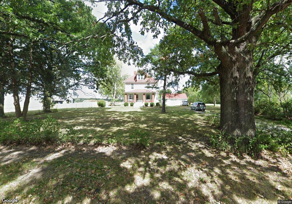
2150 SW County Line Rd Lee's Summit, MO 64082
Estimated Value: $298,811 - $460,000
4
Beds
1
Bath
1,718
Sq Ft
$222/Sq Ft
Est. Value
About This Home
This home is located at 2150 SW County Line Rd, Lee's Summit, MO 64082 and is currently estimated at $382,203, approximately $222 per square foot. 2150 SW County Line Rd is a home located in Jackson County with nearby schools including Summit Pointe Elementary School, Summit Lakes Middle School, and Lee's Summit West High School.
Ownership History
Date
Name
Owned For
Owner Type
Purchase Details
Closed on
Oct 12, 2009
Sold by
Murphy Jo Dean and Hearn Jo Dean
Bought by
Hearn Jo Dean
Current Estimated Value
Home Financials for this Owner
Home Financials are based on the most recent Mortgage that was taken out on this home.
Original Mortgage
$70,000
Interest Rate
5.14%
Mortgage Type
New Conventional
Create a Home Valuation Report for This Property
The Home Valuation Report is an in-depth analysis detailing your home's value as well as a comparison with similar homes in the area
Home Values in the Area
Average Home Value in this Area
Purchase History
| Date | Buyer | Sale Price | Title Company |
|---|---|---|---|
| Hearn Jo Dean | -- | Title One Solutions |
Source: Public Records
Mortgage History
| Date | Status | Borrower | Loan Amount |
|---|---|---|---|
| Closed | Hearn Jo Dean | $70,000 |
Source: Public Records
Tax History
| Year | Tax Paid | Tax Assessment Tax Assessment Total Assessment is a certain percentage of the fair market value that is determined by local assessors to be the total taxable value of land and additions on the property. | Land | Improvement |
|---|---|---|---|---|
| 2025 | $1,631 | $21,860 | $14,961 | $6,899 |
| 2024 | $1,620 | $22,593 | $3,341 | $19,252 |
| 2023 | $1,620 | $22,592 | $3,341 | $19,251 |
| 2022 | $1,324 | $16,400 | $2,086 | $14,314 |
| 2021 | $1,351 | $16,400 | $2,086 | $14,314 |
| 2020 | $1,304 | $15,669 | $2,086 | $13,583 |
| 2019 | $1,268 | $15,669 | $2,086 | $13,583 |
| 2018 | $1,213 | $13,912 | $2,086 | $11,826 |
| 2017 | $1,213 | $13,912 | $2,086 | $11,826 |
| 2016 | $1,199 | $13,612 | $2,086 | $11,526 |
Source: Public Records
Map
Nearby Homes
- 1933 SW Merryman Dr
- 1937 SW Hightown Dr
- 4420 SW Grindstone Cir
- 1929 SW Hightown Dr
- 1925 SW Hightown Dr
- 1921 SW Hightown Dr
- 4421 SW Grindstone Cir
- 1917 SW Hightown Dr
- 4212 SW Stoney Brook Dr
- 4244 SW Stoney Brook Dr
- 1505 SW Georgetown Dr
- 3904 SW Flintrock Dr
- 3916 SW Flintrock Dr
- 3813 SW Maryville Place
- 3920 SW Stoney Brook Dr
- 3932 SW Flintrock Dr
- 3925 SW Flintrock Dr
- 4404 SW Flintrock Dr
- 3904 SW Stoney Brook Dr
- 1329 SW Merryman Dr
- 1906 N Jeter Rd
- 2100 SW County Line Rd
- 14511 E 155th St
- 15507 Meadowbrook Ct
- 1812 N Jeter Rd
- 1809 N Jeter Rd
- 2250 SW County Line Rd
- 4380 SW Pryor Rd
- 1906 N Prairie Ln
- 4350 SW Pryor Rd
- 1802 N Jeter Rd
- 1810 N Prairie Ln
- 15619 Meadowbrook Ct
- 15524 Meadowbrook Ct
- 1800 N Jeter Rd
- 4250 SW Pryor Rd
- 15606 Meadowbrook Ct
- 1802 N Prairie Ln
- 1713 N Jeter Rd
- 15701 Meadowbrook Ct
Your Personal Tour Guide
Ask me questions while you tour the home.