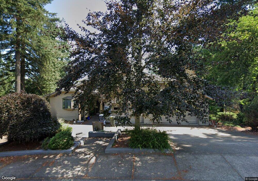
2154 Kimberly Cir Eugene, OR 97405
Southeast Eugene NeighborhoodEstimated Value: $1,050,000 - $1,407,000
4
Beds
4
Baths
4,764
Sq Ft
$245/Sq Ft
Est. Value
About This Home
This home is located at 2154 Kimberly Cir, Eugene, OR 97405 and is currently estimated at $1,165,351, approximately $244 per square foot. 2154 Kimberly Cir is a home located in Lane County with nearby schools including Camas Ridge Community Elementary School, Roosevelt Middle School, and South Eugene High School.
Ownership History
Date
Name
Owned For
Owner Type
Purchase Details
Closed on
Sep 6, 2012
Sold by
Dickason Thomas H
Bought by
Sanders David B and Sanders Rachel R S
Current Estimated Value
Home Financials for this Owner
Home Financials are based on the most recent Mortgage that was taken out on this home.
Original Mortgage
$343,700
Outstanding Balance
$234,993
Interest Rate
3.47%
Mortgage Type
New Conventional
Estimated Equity
$930,358
Purchase Details
Closed on
May 18, 2006
Sold by
Courtemanche Jack L and Courtemanche Joan Vollstedt
Bought by
Dickason Thomas H
Home Financials for this Owner
Home Financials are based on the most recent Mortgage that was taken out on this home.
Original Mortgage
$60,939
Interest Rate
6.41%
Mortgage Type
Credit Line Revolving
Create a Home Valuation Report for This Property
The Home Valuation Report is an in-depth analysis detailing your home's value as well as a comparison with similar homes in the area
Home Values in the Area
Average Home Value in this Area
Purchase History
| Date | Buyer | Sale Price | Title Company |
|---|---|---|---|
| Sanders David B | $491,000 | Western Title & Escrow | |
| Dickason Thomas H | $610,000 | Western Title & Escrow Compa |
Source: Public Records
Mortgage History
| Date | Status | Borrower | Loan Amount |
|---|---|---|---|
| Open | Sanders David B | $343,700 | |
| Previous Owner | Dickason Thomas H | $60,939 | |
| Previous Owner | Dickason Thomas H | $488,000 |
Source: Public Records
Tax History
| Year | Tax Paid | Tax Assessment Tax Assessment Total Assessment is a certain percentage of the fair market value that is determined by local assessors to be the total taxable value of land and additions on the property. | Land | Improvement |
|---|---|---|---|---|
| 2025 | $15,461 | $789,541 | -- | -- |
| 2024 | $15,258 | $766,545 | -- | -- |
| 2023 | $15,258 | $744,219 | $0 | $0 |
| 2022 | $14,298 | $722,543 | $0 | $0 |
| 2021 | $13,434 | $701,499 | $0 | $0 |
| 2020 | $13,382 | $681,067 | $0 | $0 |
| 2019 | $12,712 | $661,231 | $0 | $0 |
| 2018 | $11,265 | $623,274 | $0 | $0 |
| 2017 | $10,527 | $623,274 | $0 | $0 |
| 2016 | $10,240 | $605,120 | $0 | $0 |
| 2015 | $10,265 | $604,840 | $0 | $0 |
| 2014 | $9,991 | $584,460 | $0 | $0 |
Source: Public Records
Map
Nearby Homes
- 2040 Dogwood Dr
- 1996 Kimberly Dr
- 3574 Spring Blvd
- 2082 Golfview Ct
- 3283 Stoney Ridge Rd
- 2984 Floral Hill Dr
- 3010 Hendricks Hill Dr
- 3945 Spring Blvd
- 2694 Cupola Dr Unit 21
- 2662 Cupola Dr Unit 31
- 2645 Cupola Dr Unit 13
- 0 Capital Dr
- 2825 2819 Capital Dr Unit 18, 19
- 2639 Cupola Dr Unit 12
- 1820 E 28th Ave
- 2969 Capital Dr
- 2620 Cupola Dr Unit 27
- 2629 Cupola Dr Unit 10
- 2985 Capital Dr Unit 3
- 2627 Cupola Dr Unit 9
- 0 Kimberly Ct Unit 14265289
- 2146 Kimberly Cir
- 2155 Kimberly Cir
- 2162 Kimberly Cir
- 2142 Kimberly Cir
- 2137 Kimberly Cir
- 0 Spring Terrace Dr Unit 6 23381213
- 0 Spring Terrace Dr Unit 7 23318880
- 0 Spring Terrace Dr Unit 19040107
- 0 Spring Terrace Dr Unit 6 19654937
- 0 Spring Terrace Dr Unit 5 19513138
- 0 Spring Terrace Dr Unit 5 9021168
- 0 Spring Terrace Dr Unit 9026191
- 0 Spring Terrace Dr Unit 9026096
- 0 Spring Terrace Dr Unit 9026101
- 0 Spring Terrace Dr Unit 5 12524888
- 0 Spring Terrace Dr Unit 5 16464095
- 0 Spring Terrace Dr Unit 5 18547864
- 0 Spring Terrace Dr Unit 7 18276680
- 0 Spring Terrace Dr Unit 6
Your Personal Tour Guide
Ask me questions while you tour the home.