2155 Serenity Valley Ln Placerville, CA 95667
Estimated Value: $623,000 - $877,000
3
Beds
3
Baths
2,740
Sq Ft
$271/Sq Ft
Est. Value
About This Home
This home is located at 2155 Serenity Valley Ln, Placerville, CA 95667 and is currently estimated at $741,840, approximately $270 per square foot. 2155 Serenity Valley Ln is a home located in El Dorado County with nearby schools including Sutter's Mill Elementary School, Gold Trail School, and El Dorado High School.
Ownership History
Date
Name
Owned For
Owner Type
Purchase Details
Closed on
Jul 1, 1999
Sold by
Hopkins Larry E Tr and Hopkins Beatrice H Tr Etal
Bought by
Hopkins Mark E and Hopkins Michelle L
Current Estimated Value
Home Financials for this Owner
Home Financials are based on the most recent Mortgage that was taken out on this home.
Original Mortgage
$130,000
Interest Rate
7.24%
Mortgage Type
Seller Take Back
Create a Home Valuation Report for This Property
The Home Valuation Report is an in-depth analysis detailing your home's value as well as a comparison with similar homes in the area
Home Values in the Area
Average Home Value in this Area
Purchase History
| Date | Buyer | Sale Price | Title Company |
|---|---|---|---|
| Hopkins Mark E | $130,000 | Chicago Title Co |
Source: Public Records
Mortgage History
| Date | Status | Borrower | Loan Amount |
|---|---|---|---|
| Closed | Hopkins Mark E | $130,000 |
Source: Public Records
Tax History
| Year | Tax Paid | Tax Assessment Tax Assessment Total Assessment is a certain percentage of the fair market value that is determined by local assessors to be the total taxable value of land and additions on the property. | Land | Improvement |
|---|---|---|---|---|
| 2025 | $3,986 | $386,484 | $92,180 | $294,304 |
| 2024 | $3,986 | $378,907 | $90,373 | $288,534 |
| 2023 | $3,907 | $371,478 | $88,601 | $282,877 |
| 2022 | $3,851 | $364,195 | $86,864 | $277,331 |
| 2021 | $3,799 | $357,055 | $85,161 | $271,894 |
| 2020 | $3,749 | $353,395 | $84,288 | $269,107 |
| 2019 | $3,693 | $346,467 | $82,636 | $263,831 |
| 2018 | $3,589 | $339,674 | $81,016 | $258,658 |
| 2017 | $3,528 | $333,015 | $79,428 | $253,587 |
| 2016 | $3,475 | $326,486 | $77,871 | $248,615 |
| 2015 | $3,361 | $321,584 | $76,702 | $244,882 |
| 2014 | $3,361 | $315,286 | $75,200 | $240,086 |
Source: Public Records
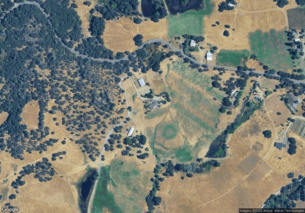
Map
Nearby Homes
- 1244 Cold Springs Rd
- 1095 Cold Springs Rd
- 6000 Gold Hill Rd
- 1140 Cold Springs Rd
- 6060 Gold Hill Rd
- 8560 Bar Crest Dr
- 1525 Cold Springs Rd Unit 82
- 1525 Cold Springs Rd Unit 37
- 1525 Cold Springs Rd Unit 80
- 1525 Cold Springs Rd Unit 67
- 1525 Cold Springs Rd Unit 92
- 1525 Cold Springs Rd Unit 55
- 1525 Cold Springs Rd Unit 97
- 1525 Cold Springs Rd Unit 48
- 1525 Cold Springs Rd Unit 63
- 8641 Riverwood Dr
- 9001 Riverwood Dr
- 1240 Los Robles Rd
- 0 Browns Rd Unit 225114992
- 5661 Thompson Hill Rd
- 2231 Serenity Valley Ln
- 6502 Gold Hill Rd
- 6501 Gold Hill Rd
- 1141 Mount Shasta Ln
- 1220 Sourdough Ln
- 2280 Serenity Valley Ln
- 6541 Gold Hill Rd
- 1140 Mount Shasta Ln
- 1155 Sourdough Ln
- 1300 Sourdough Ln
- 1200 Mount Shasta Ln
- 1120 Sullivan Ln
- 1181 Mount Shasta Ln
- 1140 Sullivan Ln
- 1187 Mount Shasta Ln
- 1121 Gato Way
- 6150 Gold Hill Rd
- 0 Wallace Rd
- 0 Good Pasture Rd
- 1421 Pepper Tree Dr
Your Personal Tour Guide
Ask me questions while you tour the home.