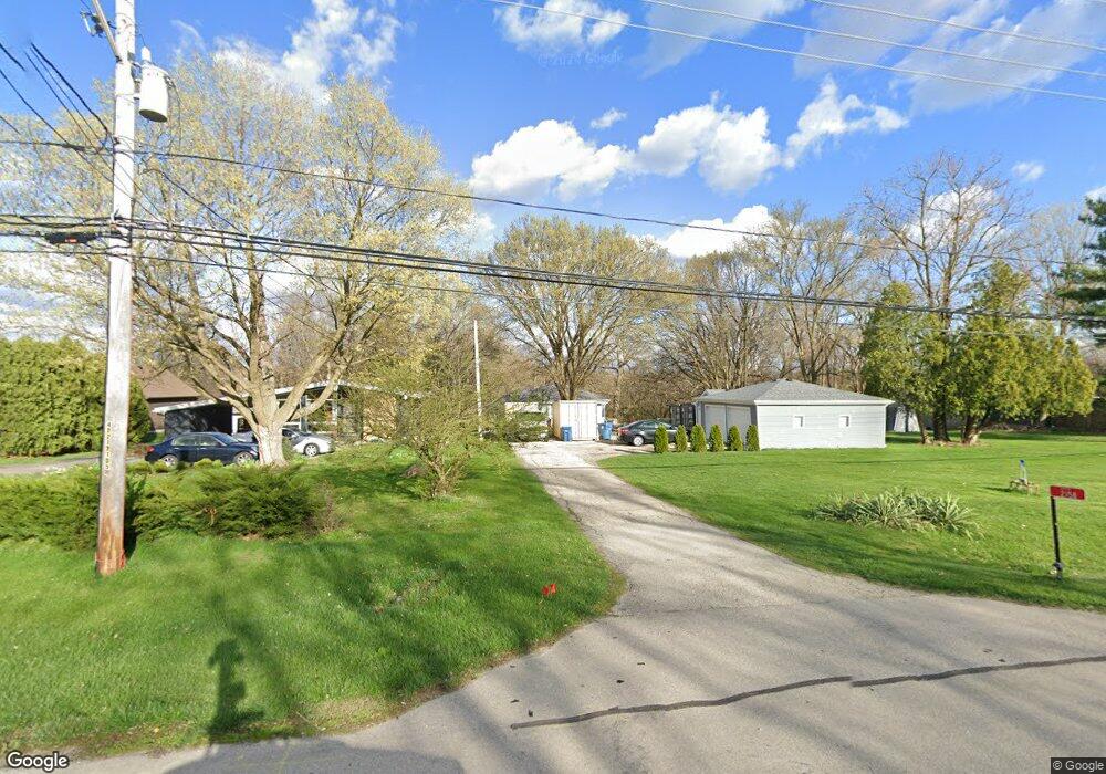
2158 State Route 31 Oswego, IL 60543
Northwest Oswego NeighborhoodEstimated Value: $223,000 - $314,000
1
Bed
1
Bath
1,072
Sq Ft
$239/Sq Ft
Est. Value
About This Home
This home is located at 2158 State Route 31, Oswego, IL 60543 and is currently estimated at $256,684, approximately $239 per square foot. 2158 State Route 31 is a home located in Kendall County with nearby schools including Fox Chase Elementary School, Traughber Junior High School, and Oswego High School.
Ownership History
Date
Name
Owned For
Owner Type
Purchase Details
Closed on
Aug 20, 2021
Sold by
Eggert Bonnie Anderson and Eggert Kenneh William
Bought by
Eggert Kenneth William and Eggert Bonnie Anderson
Current Estimated Value
Home Financials for this Owner
Home Financials are based on the most recent Mortgage that was taken out on this home.
Original Mortgage
$228,000
Outstanding Balance
$206,695
Interest Rate
2.7%
Mortgage Type
New Conventional
Estimated Equity
$49,989
Purchase Details
Closed on
Nov 18, 2016
Sold by
Kennedy James L and Kennedy Julie L
Bought by
Eggert Bonnie Anderson
Purchase Details
Closed on
Nov 8, 2016
Sold by
Deason Marion
Bought by
Eggert Bonnie Anderson
Purchase Details
Closed on
Jun 12, 2002
Sold by
Kennedy James L and Kennedy Julie L
Bought by
Mccrimmon Patricia E
Create a Home Valuation Report for This Property
The Home Valuation Report is an in-depth analysis detailing your home's value as well as a comparison with similar homes in the area
Home Values in the Area
Average Home Value in this Area
Purchase History
| Date | Buyer | Sale Price | Title Company |
|---|---|---|---|
| Eggert Kenneth William | -- | Carrington Ttl Partners Llc | |
| Eggert Bonnie Anderson | $166,500 | Attorney | |
| Eggert Bonnie Anderson | -- | Attorney | |
| Eggert Bonnie Anderson | -- | Attorney | |
| Mccrimmon Patricia E | $18,100 | -- |
Source: Public Records
Mortgage History
| Date | Status | Borrower | Loan Amount |
|---|---|---|---|
| Open | Eggert Kenneth William | $228,000 |
Source: Public Records
Tax History Compared to Growth
Tax History
| Year | Tax Paid | Tax Assessment Tax Assessment Total Assessment is a certain percentage of the fair market value that is determined by local assessors to be the total taxable value of land and additions on the property. | Land | Improvement |
|---|---|---|---|---|
| 2024 | $3,154 | $45,848 | $15,920 | $29,928 |
| 2023 | $2,959 | $42,452 | $14,741 | $27,711 |
| 2022 | $2,959 | $39,307 | $13,649 | $25,658 |
| 2021 | $2,995 | $38,536 | $13,381 | $25,155 |
| 2020 | $2,990 | $38,155 | $13,249 | $24,906 |
| 2019 | $2,969 | $37,430 | $13,249 | $24,181 |
| 2018 | $2,978 | $36,588 | $12,951 | $23,637 |
| 2017 | $2,947 | $35,181 | $12,453 | $22,728 |
| 2016 | $3,417 | $33,347 | $11,804 | $21,543 |
| 2015 | $3,448 | $32,064 | $11,350 | $20,714 |
| 2014 | -- | $30,830 | $10,913 | $19,917 |
| 2013 | -- | $31,141 | $11,023 | $20,118 |
Source: Public Records
Map
Nearby Homes
- 2110 State Route 31
- 156 River Mist Dr
- 133 River Mist Dr Unit 3
- 2350 State Route 31
- 403 Lake Ct
- 608 Clearwater Ct
- 505 Parkland Ct
- 602 Clearwater Ct Unit 2
- 34 N Adams St
- 1721 State Route 31
- 5055 U S 34
- 125 Presidential Blvd Unit 3248
- 613 Murdock Place
- 388 Danforth Dr
- 423 Hathaway Ln
- 610 Murdock Place
- 611 Murdock Place
- 421 Hathaway Ln
- 170 Chicago Rd
- 338 Millstream Ln Unit 1
- 2130 State Route 31
- 2130 State Route 31
- 2116 Rt 31
- 2116 State Route 31
- 2162 State Route 31
- 2102 State Route 31
- 2102 State Route 31
- 2170 State Route 31
- 2159 State Route 31
- 2115 State Route 31
- 2165 State Route 31
- 2060 State Route 31
- 2105 State Route 31
- 2167 State Route 31
- 2190 State Route 31
- 4810 Mill Rd
- 4790 Mill Rd
- 4850 Mill Rd
- 2173 State Route 31
- 2185 State Route 31