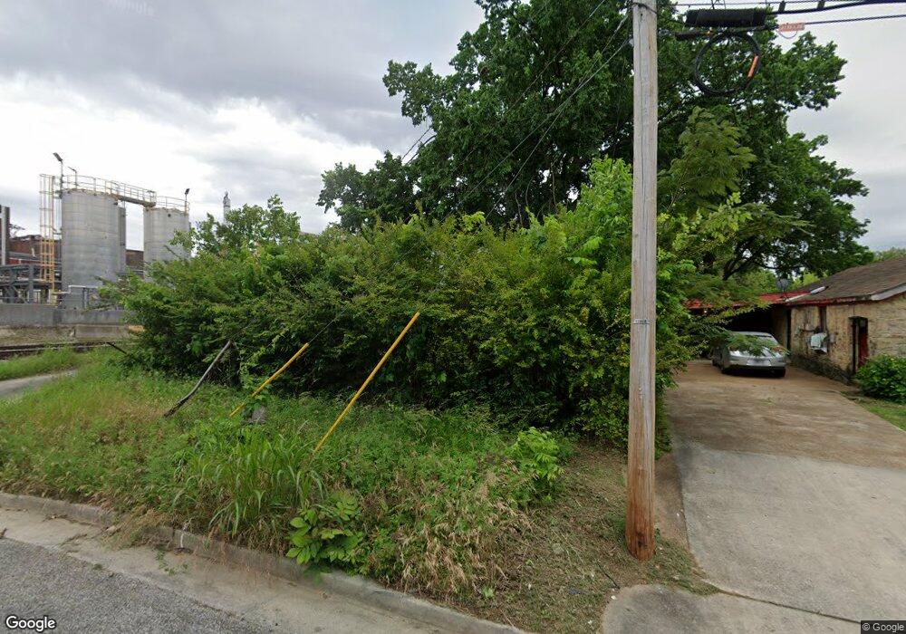
2159 Farmer Ave Memphis, TN 38114
Southeast Memphis NeighborhoodEstimated Value: $40,000 - $94,000
About This Home
This home is located at 2159 Farmer Ave, Memphis, TN 38114 and is currently estimated at $61,535, approximately $61 per square foot. 2159 Farmer Ave is a home located in Shelby County with nearby schools including Melrose High School, Hanley School - Elementary, and Hanley Schoool - Middle.
Ownership History
We collect this data history from publicly available records. To have your information removed, we recommend requesting removal directly through your county’s website.
Purchase Details
Purchase Details
Home Financials for this Owner
Home Financials are based on the most recent Mortgage that was taken out on this home.Home Values in the Area
Average Home Value in this Area
Purchase History
We collect this data history from publicly available records. To have your information removed, we recommend requesting removal directly through your county’s website.
| Date | Buyer | Sale Price | Title Company |
|---|---|---|---|
| $720 | None Available | ||
| -- | -- | ||
| -- | -- |
Mortgage History
We collect this data history from publicly available records. To have your information removed, we recommend requesting removal directly through your county’s website.
| Date | Status | Borrower | Loan Amount |
|---|---|---|---|
| Previous Owner | $17,100 |
Tax History
We collect this data history from publicly available records. To have your information removed, we recommend requesting removal directly through your county’s website.
| Year | Tax Paid | Tax Assessment Tax Assessment Total Assessment is a certain percentage of the fair market value that is determined by local assessors to be the total taxable value of land and additions on the property. | Land | Improvement |
|---|---|---|---|---|
| 2025 | $132 | $4,925 | $1,500 | $3,425 |
| 2024 | $101 | $2,975 | $625 | $2,350 |
| 2023 | $181 | $2,975 | $625 | $2,350 |
| 2022 | $181 | $2,975 | $625 | $2,350 |
| 2021 | $183 | $2,975 | $625 | $2,350 |
| 2020 | $179 | $2,475 | $625 | $1,850 |
| 2019 | $179 | $2,475 | $625 | $1,850 |
| 2018 | $179 | $2,475 | $625 | $1,850 |
| 2017 | $102 | $2,475 | $625 | $1,850 |
| 2016 | $113 | $2,575 | $0 | $0 |
| 2014 | $113 | $2,575 | $0 | $0 |
Map
- 2156 Ethlyn Ave
- 1457 S Cooper St
- 2107 Worthington Cir
- 2149 Wabash Ave
- 1352 S Cooper St
- 2002 Cloverdale Dr
- 2006 Quinn Ave
- 1975 Cloverdale Dr
- 1522 Bruce St
- 2369 Lamar Ave
- 1240 Ethel St
- 1218 Ethel St
- 1017 Ethel St
- 1248 Meda St
- 1720 Airways Blvd
- 2229 Zanone Ave
- 1059 S Willett St S
- 2025 Boyle Ave
- 1149 Raymond St
- 2428 Lamar Cir
- 2153 Farmer Ave
- 2149 Farmer Ave
- 2160 Ethlyn Ave
- 2148 Ethlyn Ave
- 2143 Farmer Ave
- 2154 Farmer Ave
- 2148 Farmer Ave
- 2144 Ethlyn Ave
- 2139 Farmer Ave
- 2142 Farmer Ave
- 2138 Ethlyn Ave
- 2159 Ethlyn Ave
- 2138 Farmer Ave
- 2153 Bennett Ave
- 2155 Ethlyn Ave
- 2133 Farmer Ave
- 2149 Bennett Ave
- 2149 Ethlyn Ave
- 2134 Ethlyn Ave
- 2143 Bennett Ave
Ask me questions while you tour the home.