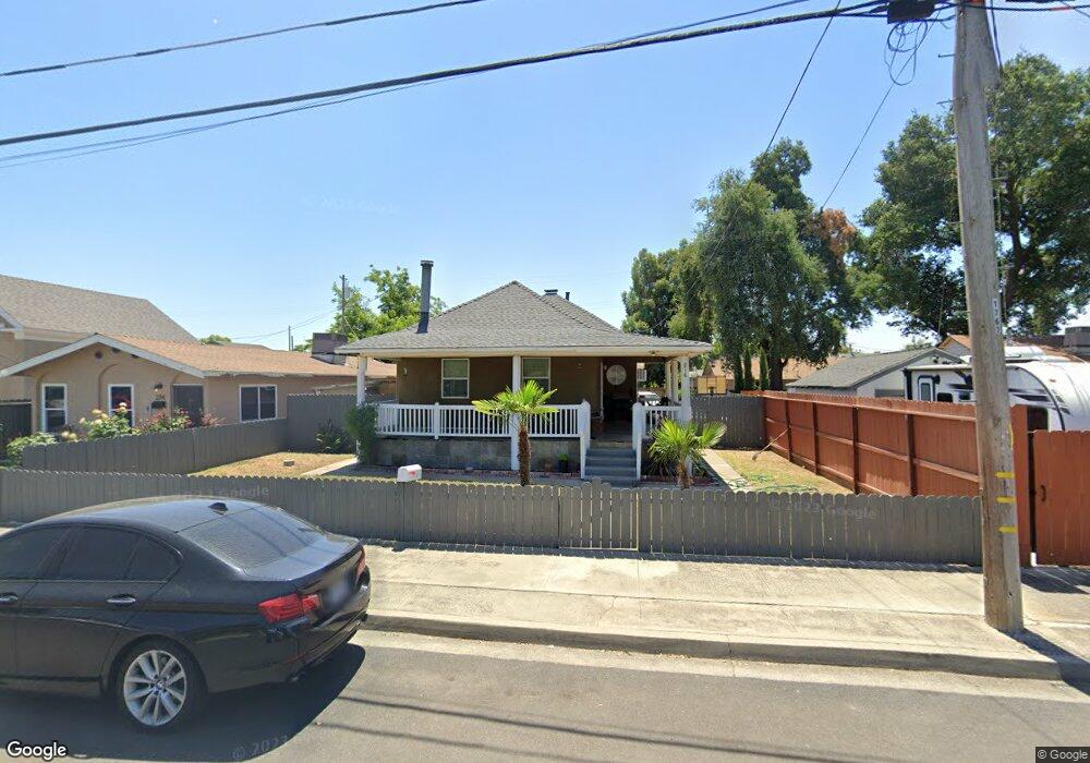
216 Davitt Ave Oakdale, CA 95361
Estimated Value: $235,000 - $341,000
2
Beds
1
Bath
920
Sq Ft
$325/Sq Ft
Est. Value
About This Home
This home is located at 216 Davitt Ave, Oakdale, CA 95361 and is currently estimated at $299,209, approximately $325 per square foot. 216 Davitt Ave is a home located in Stanislaus County with nearby schools including Magnolia Elementary School, Oakdale Junior High School, and Oakdale High School.
Ownership History
Date
Name
Owned For
Owner Type
Purchase Details
Closed on
May 29, 2018
Sold by
Thompson Josphine
Bought by
Burrell Josephine Thompson and Josephen Thompson Burrell Trus
Current Estimated Value
Purchase Details
Closed on
Oct 29, 2010
Sold by
U S Bank National Association
Bought by
Thompson Josephine
Purchase Details
Closed on
Jun 28, 2010
Sold by
Dyson James J and Dyson Michelle R
Bought by
U S Bank National Association
Purchase Details
Closed on
Nov 4, 2005
Sold by
Dyson James J
Bought by
Dyson James J and Dyson Michelle R
Home Financials for this Owner
Home Financials are based on the most recent Mortgage that was taken out on this home.
Original Mortgage
$186,000
Interest Rate
5.9%
Mortgage Type
New Conventional
Create a Home Valuation Report for This Property
The Home Valuation Report is an in-depth analysis detailing your home's value as well as a comparison with similar homes in the area
Home Values in the Area
Average Home Value in this Area
Purchase History
| Date | Buyer | Sale Price | Title Company |
|---|---|---|---|
| Burrell Josephine Thompson | -- | None Available | |
| Thompson Josephine | $47,500 | Lawyers Title | |
| U S Bank National Association | $60,277 | Accommodation | |
| Dyson James J | -- | Fidelity National Title |
Source: Public Records
Mortgage History
| Date | Status | Borrower | Loan Amount |
|---|---|---|---|
| Previous Owner | Dyson James J | $186,000 |
Source: Public Records
Tax History Compared to Growth
Tax History
| Year | Tax Paid | Tax Assessment Tax Assessment Total Assessment is a certain percentage of the fair market value that is determined by local assessors to be the total taxable value of land and additions on the property. | Land | Improvement |
|---|---|---|---|---|
| 2025 | $672 | $60,199 | $44,833 | $15,366 |
| 2024 | $637 | $59,019 | $43,954 | $15,065 |
| 2023 | $624 | $57,863 | $43,093 | $14,770 |
| 2022 | $613 | $56,730 | $42,249 | $14,481 |
| 2021 | $603 | $55,619 | $41,421 | $14,198 |
| 2020 | $596 | $55,050 | $40,997 | $14,053 |
| 2019 | $587 | $53,972 | $40,194 | $13,778 |
| 2018 | $579 | $52,914 | $39,406 | $13,508 |
| 2017 | $569 | $51,878 | $38,634 | $13,244 |
| 2016 | $559 | $50,862 | $37,877 | $12,985 |
| 2015 | $552 | $50,099 | $37,309 | $12,790 |
| 2014 | $547 | $49,119 | $36,579 | $12,540 |
Source: Public Records
Map
Nearby Homes
- 325 W H St
- 147 West Ave
- 262 California 108
- 219 S 2nd Ave
- 161 S 3rd Ave
- 151 S 3rd Ave
- 140 Blankenship Ave
- 209 N 1st Ave
- 24 N Bryan Ave
- 886 Ranchland Way
- 1105 W G St
- 64 School Ave
- 901 Meadowlands Dr
- 429 Ranger Ct Unit 111
- 980 Silver Spur Cir Unit 41
- 166 Stanislaus Ave
- 1030 Meadowlands Dr Unit MODEL
- Sequoia Plan at The Meadowlands
- Willow Plan at The Meadowlands
- Alder Plan at The Meadowlands