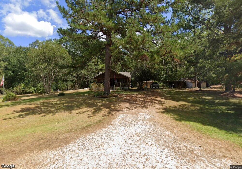
216 Eugie Palmer Rd Mendenhall, MS 39114
Estimated Value: $161,935 - $270,000
--
Bed
--
Bath
1,099
Sq Ft
$197/Sq Ft
Est. Value
About This Home
This home is located at 216 Eugie Palmer Rd, Mendenhall, MS 39114 and is currently estimated at $215,978, approximately $196 per square foot. 216 Eugie Palmer Rd is a home with nearby schools including Mendenhall Elementary School, Mendenhall Junior High School, and Mendenhall High School.
Ownership History
Date
Name
Owned For
Owner Type
Purchase Details
Closed on
Feb 21, 2025
Sold by
Devall Mary Elizabeth Lemoine
Bought by
Lents Vickie Darlene and Lents Richard
Current Estimated Value
Home Financials for this Owner
Home Financials are based on the most recent Mortgage that was taken out on this home.
Original Mortgage
$103,098
Outstanding Balance
$102,488
Interest Rate
6.93%
Mortgage Type
FHA
Estimated Equity
$113,490
Purchase Details
Closed on
Jan 14, 2020
Sold by
Devall Mary E and Devall Boyd J
Bought by
Devall Mary E
Purchase Details
Closed on
Mar 7, 2015
Sold by
Dilmore Kenneth M
Bought by
Devall Boyd J and Devall Mary E
Create a Home Valuation Report for This Property
The Home Valuation Report is an in-depth analysis detailing your home's value as well as a comparison with similar homes in the area
Home Values in the Area
Average Home Value in this Area
Purchase History
| Date | Buyer | Sale Price | Title Company |
|---|---|---|---|
| Lents Vickie Darlene | -- | None Listed On Document | |
| Lents Vickie Darlene | -- | None Listed On Document | |
| Devall Mary E | -- | None Available | |
| Devall Boyd J | -- | -- |
Source: Public Records
Mortgage History
| Date | Status | Borrower | Loan Amount |
|---|---|---|---|
| Open | Lents Vickie Darlene | $103,098 | |
| Closed | Lents Vickie Darlene | $103,098 |
Source: Public Records
Tax History Compared to Growth
Tax History
| Year | Tax Paid | Tax Assessment Tax Assessment Total Assessment is a certain percentage of the fair market value that is determined by local assessors to be the total taxable value of land and additions on the property. | Land | Improvement |
|---|---|---|---|---|
| 2024 | $294 | $4,009 | $0 | $0 |
| 2023 | $294 | $4,007 | $0 | $0 |
| 2022 | $274 | $3,955 | $0 | $0 |
| 2021 | $265 | $3,955 | $0 | $0 |
| 2020 | $250 | $3,700 | $0 | $0 |
| 2019 | $0 | $2,028 | $0 | $0 |
| 2018 | $0 | $1,983 | $0 | $0 |
| 2017 | $0 | $1,825 | $0 | $0 |
| 2016 | $0 | $1,806 | $0 | $0 |
| 2015 | $260 | $2,710 | $0 | $0 |
| 2014 | $260 | $2,710 | $0 | $0 |
Source: Public Records
Map
Nearby Homes
- 163 Mississippi 540
- 119 Ashwood Ln
- 0 0 U S 49
- 0 Hwy 49 Unit 4106771
- 428 Simpson Cir
- 310 Polly Ave
- 619 Pittman Dr
- 306 E Court Ave
- 0 N East St
- 707 N West St
- 211 W Maud Ave
- 106 Edd Monk St
- 602 Circle Dr
- 1002 Mark Dr
- 000 Hwy 13 Hwy
- 0 Simpson Highway 13 Unit 4111635
- 0 Hwy 13 Hwy
- 825 Poplar Springs Rd
- 0 Mississippi 540
- 124 Blane Lane Rd
- 131 Fount Dr
- 160 Blane Lane Rd
- 251 Eugie Palmer Rd
- 323 Benton Hill Rd
- 185 Blane Lane Rd
- 200 Blane Lane Rd
- 336 Benton Hill Rd
- 315 Benton Hill Rd
- 296 Eugie Palmer Rd
- 362 Benton Hill Rd
- 227 Blane Lane Rd
- 290 Simpson Highway 540
- 01 Benton Hill Rd
- 268 Benton Hill Rd
- 264 Simpson Highway 540
- 224 Simpson Highway 540
- 239 Benton Hill Rd
- 285 Simpson Highway 540
- 103 Johnny Rawls Rd