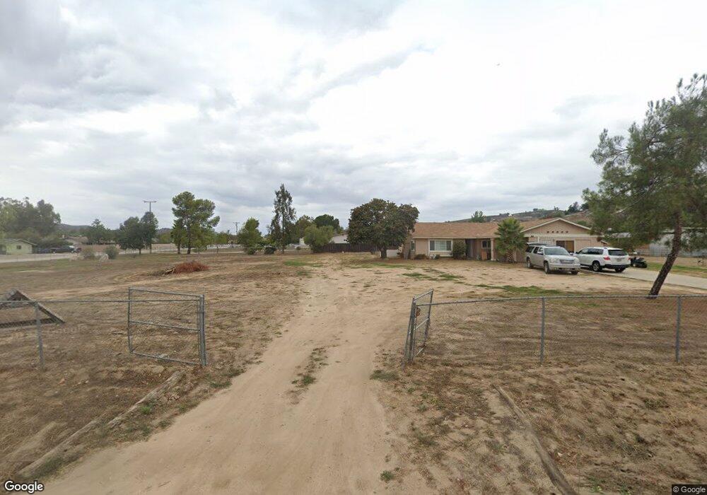
216 Pile St Ramona, CA 92065
Estimated Value: $812,000 - $938,508
3
Beds
3
Baths
2,474
Sq Ft
$364/Sq Ft
Est. Value
About This Home
This home is located at 216 Pile St, Ramona, CA 92065 and is currently estimated at $899,627, approximately $363 per square foot. 216 Pile St is a home located in San Diego County with nearby schools including Hanson Elementary School, Olive Peirce Middle School, and Ramona High School.
Ownership History
Date
Name
Owned For
Owner Type
Purchase Details
Closed on
May 12, 1997
Sold by
Head George F and Head Dale R
Bought by
Bell Patrick M and Bell Jeanne M
Current Estimated Value
Home Financials for this Owner
Home Financials are based on the most recent Mortgage that was taken out on this home.
Original Mortgage
$171,200
Interest Rate
7.93%
Purchase Details
Closed on
Mar 2, 1996
Sold by
First Interstate Bank Of California
Bought by
Head George F and Head Dale R
Home Financials for this Owner
Home Financials are based on the most recent Mortgage that was taken out on this home.
Original Mortgage
$165,300
Interest Rate
7%
Purchase Details
Closed on
Nov 17, 1995
Sold by
Waddell Edward F and Waddell Corine
Bought by
First Interstate Bank
Create a Home Valuation Report for This Property
The Home Valuation Report is an in-depth analysis detailing your home's value as well as a comparison with similar homes in the area
Home Values in the Area
Average Home Value in this Area
Purchase History
| Date | Buyer | Sale Price | Title Company |
|---|---|---|---|
| Bell Patrick M | $214,000 | Fidelity National Title Co | |
| Head George F | $174,000 | First American Title Ins Co | |
| First Interstate Bank | $61,101 | Stewart Title |
Source: Public Records
Mortgage History
| Date | Status | Borrower | Loan Amount |
|---|---|---|---|
| Previous Owner | Bell Patrick M | $171,200 | |
| Previous Owner | Head George F | $165,300 |
Source: Public Records
Tax History
| Year | Tax Paid | Tax Assessment Tax Assessment Total Assessment is a certain percentage of the fair market value that is determined by local assessors to be the total taxable value of land and additions on the property. | Land | Improvement |
|---|---|---|---|---|
| 2025 | $4,074 | $378,744 | $74,611 | $304,133 |
| 2024 | $4,074 | $371,319 | $73,149 | $298,170 |
| 2023 | $3,800 | $364,039 | $71,715 | $292,324 |
| 2022 | $3,931 | $356,902 | $70,309 | $286,593 |
| 2021 | $3,861 | $349,905 | $68,931 | $280,974 |
| 2020 | $3,822 | $346,318 | $68,225 | $278,093 |
| 2019 | $3,729 | $339,529 | $66,888 | $272,641 |
| 2018 | $3,630 | $332,873 | $65,577 | $267,296 |
| 2017 | $650 | $326,347 | $64,292 | $262,055 |
| 2016 | $3,489 | $319,949 | $63,032 | $256,917 |
| 2015 | $3,439 | $315,144 | $62,086 | $253,058 |
| 2014 | $3,361 | $308,971 | $60,870 | $248,101 |
Source: Public Records
Map
Nearby Homes
- 341 Pile St
- 443 Pile St
- 401 Washington St
- 0 Washington Unit PTP2600221
- 2030 Black Canyon Rd Unit 12
- 2030 Black Canyon Rd Unit SPC 29
- 1077 Pine St
- 2239 Black Canyon Rd Unit 41
- 2239 Black Canyon Rd Unit 37
- 2239 Black Canyon Rd Unit 38
- 203 D St
- 176 Ransom Hill Ln
- 220 D St
- 1305 Ash St
- 632 A St Unit 22
- 0 Amigos Rd Unit NDP2601666
- 549 D St
- 0 A St
- 742 A St Unit 15
- 18434 Ramona View Dr
Your Personal Tour Guide
Ask me questions while you tour the home.