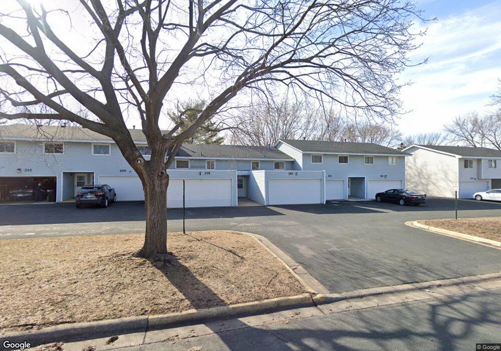
216 Shawnee Trail Shakopee, MN 55379
Estimated Value: $234,000 - $259,000
3
Beds
2
Baths
836
Sq Ft
$291/Sq Ft
Est. Value
About This Home
This home is located at 216 Shawnee Trail, Shakopee, MN 55379 and is currently estimated at $243,238, approximately $290 per square foot. 216 Shawnee Trail is a home located in Scott County with nearby schools including Red Oak Elementary School, Shakopee West Middle School, and Shakopee Senior High School.
Ownership History
Date
Name
Owned For
Owner Type
Purchase Details
Closed on
Feb 28, 2011
Sold by
Federal Home Loan Mortgage Corporation
Bought by
Mathias Daniel W
Current Estimated Value
Home Financials for this Owner
Home Financials are based on the most recent Mortgage that was taken out on this home.
Original Mortgage
$47,900
Outstanding Balance
$33,297
Interest Rate
5.04%
Mortgage Type
New Conventional
Estimated Equity
$209,941
Purchase Details
Closed on
Dec 8, 2005
Sold by
Not Provided
Bought by
Potthast Michael and Potthast Sara
Purchase Details
Closed on
Jan 27, 2003
Sold by
Kuka Kathryn E
Bought by
Strand Wendy M
Create a Home Valuation Report for This Property
The Home Valuation Report is an in-depth analysis detailing your home's value as well as a comparison with similar homes in the area
Home Values in the Area
Average Home Value in this Area
Purchase History
| Date | Buyer | Sale Price | Title Company |
|---|---|---|---|
| Mathias Daniel W | $74,900 | -- | |
| Potthast Michael | $159,500 | -- | |
| Strand Wendy M | $150,900 | -- |
Source: Public Records
Mortgage History
| Date | Status | Borrower | Loan Amount |
|---|---|---|---|
| Open | Mathias Daniel W | $47,900 |
Source: Public Records
Tax History Compared to Growth
Tax History
| Year | Tax Paid | Tax Assessment Tax Assessment Total Assessment is a certain percentage of the fair market value that is determined by local assessors to be the total taxable value of land and additions on the property. | Land | Improvement |
|---|---|---|---|---|
| 2025 | $1,722 | $196,300 | $72,300 | $124,000 |
| 2024 | $1,834 | $186,700 | $68,800 | $117,900 |
| 2023 | $1,878 | $186,800 | $71,000 | $115,800 |
| 2022 | $1,646 | $188,500 | $72,700 | $115,800 |
| 2021 | $1,602 | $147,900 | $57,000 | $90,900 |
| 2020 | $1,818 | $158,000 | $52,500 | $105,500 |
| 2019 | $1,882 | $175,000 | $44,400 | $130,600 |
| 2018 | $1,738 | $0 | $0 | $0 |
| 2016 | $1,624 | $0 | $0 | $0 |
| 2014 | -- | $0 | $0 | $0 |
Source: Public Records
Map
Nearby Homes
- 516 Roundhouse St
- 1009 4th Ave E
- 720 Bluff Ave E
- 1954 Parkway Ave
- 539 7th Ave E
- 2088 Eastway Ave
- 1054 Legion St S
- 528 Shakopee Ave E
- 2179 Charismatic Dr Unit 84
- 1076 Sibley St S
- 835 Sommerville St S
- 1193 Shawmut St S
- 1195 Prairie Ln
- 2367 Cascade Dr Unit 42
- 1164 Merrifield Ct
- 618 Holmes St S
- 1933 Davis Ct
- 612 11th Ave E
- 1735 Hauer Trail
- 1775 Hauer Trail
- 218 Shawnee Trail
- 214 Shawnee Trail
- 220 Shawnee Trail
- 212 Shawnee Trail
- 222 Shawnee Trail
- 210 Shawnee Trail
- 208 Shawnee Trail
- 300 Shawnee Trail
- 206 Shawnee Trail
- 302 Shawnee Trail
- 204 Shawnee Trail
- 304 Shawnee Trail
- 202 Shawnee Trail
- 306 Shawnee Trail
- 200 Shawnee Trail
- 223 Shawnee Trail
- 221 Shawnee Trail
- 301 Shawnee Trail
- 219 Shawnee Trail
- 308 Shawnee Trail