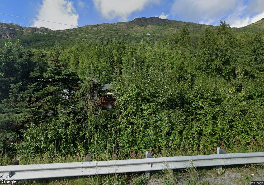
21613 Eagle River Rd Eagle River, AK 99577
Eagle River Valley NeighborhoodEstimated Value: $256,000 - $535,000
2
Beds
1
Bath
1,156
Sq Ft
$299/Sq Ft
Est. Value
About This Home
This home is located at 21613 Eagle River Rd, Eagle River, AK 99577 and is currently estimated at $345,956, approximately $299 per square foot. 21613 Eagle River Rd is a home located in Anchorage Municipality with nearby schools including Ravenwood Elementary School, Gruening Middle School, and Eagle River High School.
Ownership History
Date
Name
Owned For
Owner Type
Purchase Details
Closed on
Nov 15, 2013
Sold by
Municipality Of Anchorage
Bought by
Smith Michael Eugene
Current Estimated Value
Purchase Details
Closed on
Jan 20, 1995
Sold by
Smith Michael Eugene
Bought by
Hammer Keith Stuart
Create a Home Valuation Report for This Property
The Home Valuation Report is an in-depth analysis detailing your home's value as well as a comparison with similar homes in the area
Home Values in the Area
Average Home Value in this Area
Purchase History
| Date | Buyer | Sale Price | Title Company |
|---|---|---|---|
| Smith Michael Eugene | -- | None Available | |
| Hammer Keith Stuart | $25,000 | -- | |
| Hammer Keith Stuart | $25,000 | -- |
Source: Public Records
Tax History
| Year | Tax Paid | Tax Assessment Tax Assessment Total Assessment is a certain percentage of the fair market value that is determined by local assessors to be the total taxable value of land and additions on the property. | Land | Improvement |
|---|---|---|---|---|
| 2025 | $3,001 | $257,200 | $88,700 | $168,500 |
| 2024 | $3,001 | $262,900 | $88,700 | $174,200 |
| 2023 | $2,996 | $247,100 | $88,700 | $158,400 |
| 2022 | $3,165 | $238,500 | $92,700 | $145,800 |
| 2021 | $3,943 | $222,900 | $92,700 | $130,200 |
| 2020 | $2,825 | $223,600 | $92,700 | $130,900 |
| 2019 | $2,796 | $217,600 | $92,700 | $124,900 |
| 2018 | $2,754 | $214,200 | $92,700 | $121,500 |
| 2017 | $3,180 | $221,000 | $92,700 | $128,300 |
| 2016 | $2,640 | $209,700 | $92,700 | $117,000 |
| 2015 | $2,640 | $202,300 | $88,700 | $113,600 |
| 2014 | $2,640 | $201,000 | $76,500 | $124,500 |
Source: Public Records
Map
Nearby Homes
- L4 Sheppard Dr
- 10220 Silvertip Cir
- LOT 4 Upper Lowland Ave
- 20786 Melody Ln
- 20537 Ptarmigan Blvd
- 20779 Mountain Vista Dr
- 20514 Birch Crest Ln
- 20573 Mountain Vista Dr
- 20638 Driftwood Bay Dr
- 20413 Icefall Dr
- 9545 Grey Owl Way
- L7 Grey Owl Way
- 22939 Eagle Glacier Loop
- 19752 S Montague Loop
- 19962 Driftwood Bay Dr Unit 10
- 19950 Driftwood Bay Dr Unit 7
- 8935 Birch Park Cir
- 19862 Driftwood Bay Dr
- 19413 First St
- 19567 Mount Magnificent Cir
- 21630 Price Dr
- 10049 Debbie Dr
- 21738 Price Dr
- 21641 Price Dr
- 10012 Debbie Dr
- 21827 Mile Hi Way
- 21827 Mile Hi Way
- 21479 Lowland Ave
- #1 Mile Hi Way
- 10247 Stewart Dr
- 21420 Lowland Ave
- 21723 Mile Hi Way
- 21419 Lowland Ave
- 10239 Stewart Dr
- 21829 Price Dr
- 10119 Raven Crest Cir
- 21818 Lower Canyon Dr
- 10251 Stewart Dr
- 21400 Lowland Ave
- 10129 Raven Crest Cir
Your Personal Tour Guide
Ask me questions while you tour the home.