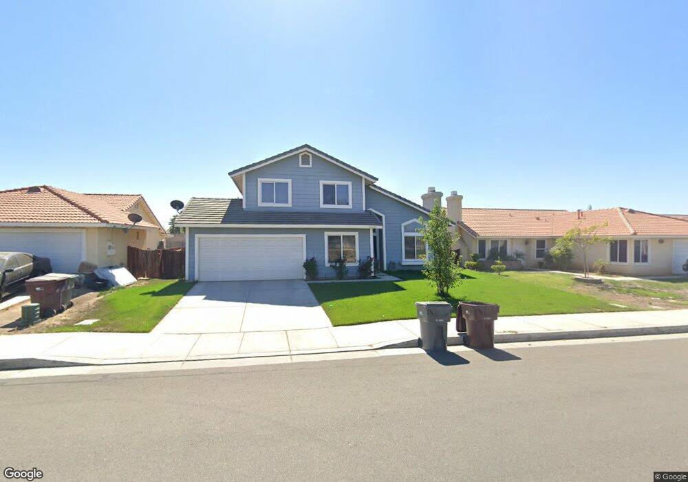
21621 Dawes St Perris, CA 92570
Estimated Value: $545,000 - $658,000
3
Beds
3
Baths
1,682
Sq Ft
$351/Sq Ft
Est. Value
About This Home
This home is located at 21621 Dawes St, Perris, CA 92570 and is currently estimated at $590,667, approximately $351 per square foot. 21621 Dawes St is a home located in Riverside County with nearby schools including Manuel L. Real Elementary School, Tomas Rivera Middle School, and Citrus Hill High School.
Ownership History
Date
Name
Owned For
Owner Type
Purchase Details
Closed on
May 14, 2009
Sold by
Reyes Luisa J
Bought by
Reyes Luis
Current Estimated Value
Home Financials for this Owner
Home Financials are based on the most recent Mortgage that was taken out on this home.
Original Mortgage
$189,494
Interest Rate
4.83%
Mortgage Type
FHA
Purchase Details
Closed on
Apr 14, 2009
Sold by
Stonewood Housing Partners Lp
Bought by
Reyes Luis
Home Financials for this Owner
Home Financials are based on the most recent Mortgage that was taken out on this home.
Original Mortgage
$189,494
Interest Rate
4.83%
Mortgage Type
FHA
Create a Home Valuation Report for This Property
The Home Valuation Report is an in-depth analysis detailing your home's value as well as a comparison with similar homes in the area
Home Values in the Area
Average Home Value in this Area
Purchase History
| Date | Buyer | Sale Price | Title Company |
|---|---|---|---|
| Reyes Luis | -- | Chicago Title | |
| Reyes Luis | $193,000 | Chicago Title |
Source: Public Records
Mortgage History
| Date | Status | Borrower | Loan Amount |
|---|---|---|---|
| Previous Owner | Reyes Luis | $189,494 |
Source: Public Records
Tax History Compared to Growth
Tax History
| Year | Tax Paid | Tax Assessment Tax Assessment Total Assessment is a certain percentage of the fair market value that is determined by local assessors to be the total taxable value of land and additions on the property. | Land | Improvement |
|---|---|---|---|---|
| 2025 | $2,952 | $248,505 | $77,256 | $171,249 |
| 2023 | $2,952 | $238,857 | $74,257 | $164,600 |
| 2022 | $2,863 | $234,174 | $72,801 | $161,373 |
| 2021 | $2,807 | $229,583 | $71,374 | $158,209 |
| 2020 | $2,778 | $227,230 | $70,643 | $156,587 |
| 2019 | $2,619 | $222,775 | $69,258 | $153,517 |
| 2018 | $2,582 | $218,407 | $67,900 | $150,507 |
| 2017 | $2,523 | $214,125 | $66,569 | $147,556 |
| 2016 | $2,494 | $209,927 | $65,264 | $144,663 |
| 2015 | $2,457 | $206,776 | $64,285 | $142,491 |
| 2014 | $2,427 | $202,727 | $63,027 | $139,700 |
Source: Public Records
Map
Nearby Homes
- 21402 Shortridge Ave
- 0 Marquez Rd
- 21277 Kinney St
- 0 Haines St Unit CV25023430
- 0 Day St Unit CV24223167
- 18759 Clark St
- 21580 Lane St
- 21889 Mary St
- 0 Old Elsinore Rd Unit CV25117444
- 21821 Markham St
- 20785 Burns St
- 20748 Martin St
- 1 Decker Rd
- 20243 Lee Rd
- 20541 Moore St
- 18420 Decker Rd
- 22540 Markham St
- 20561 Hunter St
- 19810 Alexander St
- 20415 Myron St
- 21631 Dawes St
- 21611 Dawes St
- 21641 Dawes St
- 21601 Dawes St
- 19317 Winter Rock Ct
- 19267 Spring Rock Ct
- 21590 Foxwood Ct
- 21651 Dawes St
- 21591 Dawes St
- 21580 Foxwood Ct
- 21661 Dawes St
- 19312 Winter Rock Ct
- 19257 Spring Rock Ct
- 19327 Winter Rock Ct
- 21600 Foxwood Ct
- 21581 Dawes St
- 19262 Spring Rock Ct
- 21570 Foxwood Ct
- 19247 Spring Rock Ct
- 19252 Spring Rock Ct