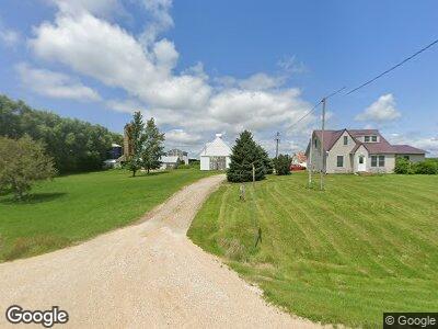
2164 Highway 136 Delmar, IA 52037
Estimated Value: $169,000 - $337,000
4
Beds
3
Baths
1,726
Sq Ft
$158/Sq Ft
Est. Value
About This Home
This home is located at 2164 Highway 136, Delmar, IA 52037 and is currently estimated at $272,659, approximately $157 per square foot. 2164 Highway 136 is a home with nearby schools including Delwood Elementary School.
Ownership History
Date
Name
Owned For
Owner Type
Purchase Details
Closed on
Sep 16, 2011
Sold by
Christiansen Ronald L and Christiansen Darlene K
Bought by
Christiansen Chad L and Christiansen Sally
Current Estimated Value
Home Financials for this Owner
Home Financials are based on the most recent Mortgage that was taken out on this home.
Original Mortgage
$150,408
Interest Rate
4.22%
Mortgage Type
Purchase Money Mortgage
Create a Home Valuation Report for This Property
The Home Valuation Report is an in-depth analysis detailing your home's value as well as a comparison with similar homes in the area
Home Values in the Area
Average Home Value in this Area
Purchase History
| Date | Buyer | Sale Price | Title Company |
|---|---|---|---|
| Christiansen Chad L | -- | None Available |
Source: Public Records
Mortgage History
| Date | Status | Borrower | Loan Amount |
|---|---|---|---|
| Closed | Aperson Sally Ann | $125,000 | |
| Closed | Christiansen Chad L | $150,408 | |
| Closed | Christiansen Chad L | $150,408 |
Source: Public Records
Tax History Compared to Growth
Tax History
| Year | Tax Paid | Tax Assessment Tax Assessment Total Assessment is a certain percentage of the fair market value that is determined by local assessors to be the total taxable value of land and additions on the property. | Land | Improvement |
|---|---|---|---|---|
| 2024 | $3,256 | $278,170 | $47,840 | $230,330 |
| 2023 | $3,256 | $278,170 | $47,840 | $230,330 |
| 2022 | $2,028 | $261,410 | $47,840 | $213,570 |
| 2021 | $2,010 | $159,460 | $26,040 | $133,420 |
| 2020 | $2,010 | $153,110 | $26,040 | $127,070 |
| 2019 | $1,972 | $153,110 | $0 | $0 |
| 2018 | $1,548 | $153,110 | $0 | $0 |
| 2017 | $1,328 | $124,590 | $0 | $0 |
| 2016 | $1,290 | $99,200 | $0 | $0 |
| 2015 | $1,290 | $94,700 | $0 | $0 |
| 2014 | $1,216 | $94,700 | $0 | $0 |
| 2013 | $1,156 | $0 | $0 | $0 |
Source: Public Records
Map
Nearby Homes
- 1793 211th Ave
- 0 Nairn Dr Unit 151992
- Lot 8 Timber Dr
- Lot 7 Timber Dr
- Lot 6 Timber Dr
- Lot 5 Timber Dr
- Lot 3 Timber Dr
- Lot 2 Timber Dr
- Lot 1 Timber Dr
- 401 Market St
- 20144 22nd St
- 933 Country Club Dr
- 706 Myatt Dr Unit A & B
- 709 W Farmland Dr Unit B
- 620 S Main St
- 512 S 5th St
- 505 S Main St
- 408 Western Ave
- 1573 200th Ave
- 401-435 Forest Dr