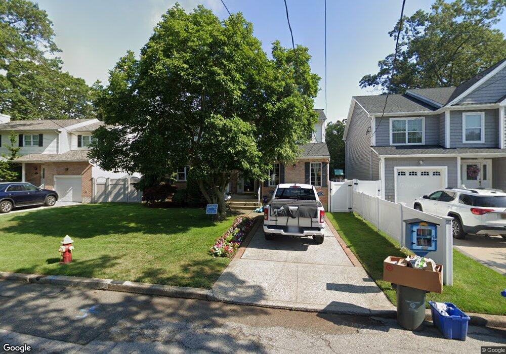
2165 Grove St Merrick, NY 11566
Estimated Value: $999,574 - $1,067,000
--
Bed
3
Baths
2,255
Sq Ft
$458/Sq Ft
Est. Value
About This Home
This home is located at 2165 Grove St, Merrick, NY 11566 and is currently estimated at $1,033,287, approximately $458 per square foot. 2165 Grove St is a home located in Nassau County with nearby schools including Merrick Avenue Middle School, Sanford H Calhoun High School, and Sacred Heart School.
Ownership History
Date
Name
Owned For
Owner Type
Purchase Details
Closed on
Jul 2, 2009
Sold by
Moehringer John and Moehringer Carolyn S
Bought by
Maxwell Daniel and Maxwell Kerri
Current Estimated Value
Home Financials for this Owner
Home Financials are based on the most recent Mortgage that was taken out on this home.
Original Mortgage
$417,000
Outstanding Balance
$272,161
Interest Rate
5.31%
Mortgage Type
Purchase Money Mortgage
Estimated Equity
$761,126
Purchase Details
Closed on
Jan 28, 1997
Sold by
Asfour Michael
Bought by
Moehringer John and Moehringer Carolyn S
Create a Home Valuation Report for This Property
The Home Valuation Report is an in-depth analysis detailing your home's value as well as a comparison with similar homes in the area
Home Values in the Area
Average Home Value in this Area
Purchase History
| Date | Buyer | Sale Price | Title Company |
|---|---|---|---|
| Maxwell Daniel | $550,000 | -- | |
| Moehringer John | $266,000 | -- |
Source: Public Records
Mortgage History
| Date | Status | Borrower | Loan Amount |
|---|---|---|---|
| Open | Maxwell Daniel | $417,000 |
Source: Public Records
Tax History Compared to Growth
Tax History
| Year | Tax Paid | Tax Assessment Tax Assessment Total Assessment is a certain percentage of the fair market value that is determined by local assessors to be the total taxable value of land and additions on the property. | Land | Improvement |
|---|---|---|---|---|
| 2025 | $18,708 | $646 | $195 | $451 |
| 2024 | $4,630 | $637 | $192 | $445 |
| 2023 | $16,054 | $653 | $197 | $456 |
| 2022 | $16,054 | $689 | $208 | $481 |
| 2021 | $22,392 | $716 | $202 | $514 |
| 2020 | $17,311 | $855 | $558 | $297 |
| 2019 | $15,913 | $916 | $527 | $389 |
| 2018 | $14,652 | $978 | $0 | $0 |
| 2017 | $10,148 | $1,039 | $598 | $441 |
| 2016 | $14,796 | $1,039 | $492 | $547 |
| 2015 | $4,530 | $1,097 | $519 | $578 |
| 2014 | $4,530 | $1,097 | $519 | $578 |
| 2013 | $4,876 | $1,264 | $598 | $666 |
Source: Public Records
Map
Nearby Homes
- 2207 Van Nostrand Ave
- 2282 Sycamore Place
- 2245 Van Nostrand Ave
- 2125 Burke Place
- 2005 Abbot Ave
- 22 Anding Ave
- 1448 Dewey Ave
- 1580 Little Whaleneck Rd
- 1360 Powell Ave
- 2239 Henry St
- 1585 Dewey Ave
- 526 Park Ave
- 42 E Webster St
- 2327 Cleveland St
- 1776 Roberta Ln
- 1804 Leona Ct
- 2 Garfield St
- 12 Washington Dr
- 208 Camp Ave
- 1267 Taft Ave
- 2171 Grove St
- 2159 Grove St
- 2162 Decker Ave
- 2156 Decker Ave
- 2179 Grove St
- 2170 Decker Ave
- 2158 Grove St
- 2166 Grove St
- 2150 Decker Ave
- 2172 Grove St
- 2155 Abbot Ave
- 1550 Hendrickson Ave
- 1586 Hendrickson Ave
- 2142 Decker Ave
- 2159 Marvin Place
- 2145 Abbot Ave
- 2167 Marvin Place
- 1590 East Dr
- 110 Grove St
- 1565 Hendrickson Ave