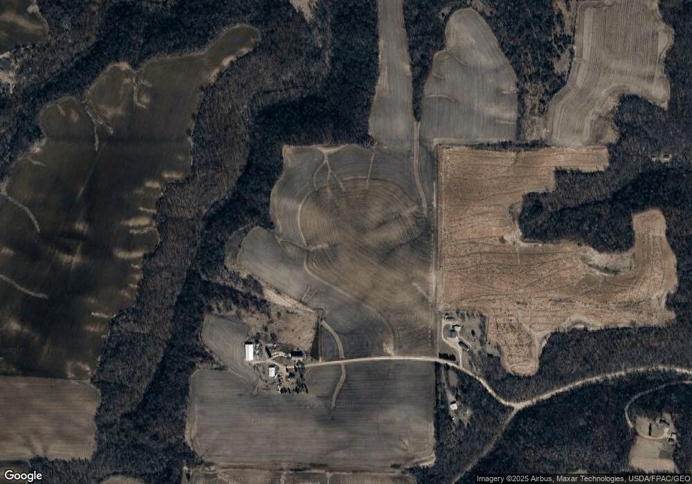
21690 299th St Red Wing, MN 55066
Estimated Value: $344,000 - $445,000
4
Beds
1
Bath
2,176
Sq Ft
$180/Sq Ft
Est. Value
About This Home
This home is located at 21690 299th St, Red Wing, MN 55066 and is currently estimated at $391,257, approximately $179 per square foot. 21690 299th St is a home with nearby schools including Sunnyside Elementary School, Burnside Elementary School, and Twin Bluff Middle School.
Ownership History
Date
Name
Owned For
Owner Type
Purchase Details
Closed on
Jan 17, 2020
Sold by
Roschen Bradley Bradley
Bought by
Hattemer Tim Tim
Current Estimated Value
Home Financials for this Owner
Home Financials are based on the most recent Mortgage that was taken out on this home.
Original Mortgage
$785,000
Outstanding Balance
$694,248
Interest Rate
3.65%
Estimated Equity
-$302,991
Purchase Details
Closed on
Feb 1, 2003
Sold by
Roschen Elaine P
Bought by
Roschen Bradley R and Roschen Jamie E
Create a Home Valuation Report for This Property
The Home Valuation Report is an in-depth analysis detailing your home's value as well as a comparison with similar homes in the area
Home Values in the Area
Average Home Value in this Area
Purchase History
| Date | Buyer | Sale Price | Title Company |
|---|---|---|---|
| Hattemer Tim Tim | $785,000 | -- | |
| Roschen Bradley R | $200,000 | -- |
Source: Public Records
Mortgage History
| Date | Status | Borrower | Loan Amount |
|---|---|---|---|
| Open | Hattemer Tim Tim | $785,000 | |
| Closed | Hattemer Tim Tim | -- | |
| Closed | Roschen Bradley R | -- |
Source: Public Records
Tax History Compared to Growth
Tax History
| Year | Tax Paid | Tax Assessment Tax Assessment Total Assessment is a certain percentage of the fair market value that is determined by local assessors to be the total taxable value of land and additions on the property. | Land | Improvement |
|---|---|---|---|---|
| 2025 | $2,628 | $341,500 | $149,000 | $192,500 |
| 2024 | -- | $341,500 | $149,000 | $192,500 |
| 2023 | $2,732 | $356,400 | $143,400 | $213,000 |
| 2022 | $2,548 | $332,600 | $139,400 | $193,200 |
| 2021 | $1,226 | $284,600 | $121,300 | $163,300 |
| 2020 | $4 | $248,400 | $96,700 | $151,700 |
| 2019 | $3,710 | $921,600 | $774,100 | $147,500 |
| 2018 | $3,246 | $936,600 | $786,300 | $150,300 |
| 2017 | $3,232 | $880,500 | $735,200 | $145,300 |
| 2016 | $3,070 | $861,600 | $720,000 | $141,600 |
| 2015 | $3,198 | $872,800 | $733,700 | $139,100 |
| 2014 | -- | $891,100 | $747,400 | $143,700 |
Source: Public Records
Map
Nearby Homes
- 31283 210th Ave
- 1180 Hewitt Blvd
- 1181 Hewitt Blvd
- 1125 Hewitt Blvd
- 946 Briarwood Dr
- 3463 Briarview Ct
- 2345 S Oak Dr
- 1978 Neal St
- 2773 Ridgeview Dr
- 998 Hewitt Blvd
- 1505 Hillside Dr
- 1706 Siewert St
- 2543 Sunny Meadow Ln
- TBD Mill Rd
- 912 Aurora Cir
- 936 Aurora Cir
- 28668 Mn-19
- 921 Snowbird Dr
- 3560 Graves Dr
- 853 Aurora Cir
- TBD 299th St
- 21884 299th St
- 21911 299th St
- 30199 County 1 Blvd
- 29822 210th Ave
- 22244 299th St
- 29533 County 1 Blvd
- 21726 287th St
- 29561 County 1 Blvd
- 30570 County 1 Blvd
- 29784 County 1 Blvd
- 21994 305th St
- xxx 293rd St
- 29035 County 1 Blvd
- 0 290th Street & Co Rd G53 Unit 5478757
- 0 290th St & 500th Ave Unit 5478031
- 50+ acres - 293rd Street Way
- 50+ acres - 293rd St
- 29026 210th Ave
- 22460 293rd St
