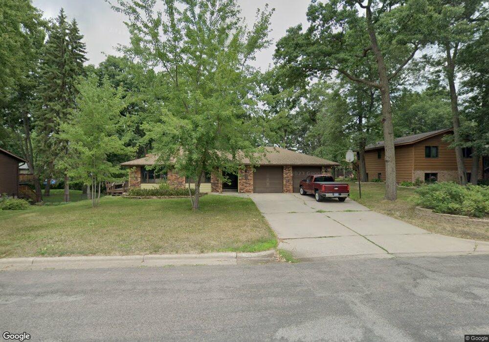
217 10th St N Sauk Rapids, MN 56379
Estimated Value: $268,000 - $316,406
3
Beds
3
Baths
1,358
Sq Ft
$222/Sq Ft
Est. Value
About This Home
This home is located at 217 10th St N, Sauk Rapids, MN 56379 and is currently estimated at $301,852, approximately $222 per square foot. 217 10th St N is a home located in Benton County with nearby schools including Pleasant View Elementary School, Sauk Rapids-Rice Middle School, and Sauk Rapids-Rice Senior High School.
Ownership History
Date
Name
Owned For
Owner Type
Purchase Details
Closed on
Oct 20, 2009
Sold by
Abraham Beverly J
Bought by
Abraham Kirk T
Current Estimated Value
Purchase Details
Closed on
Mar 16, 2007
Sold by
Jude Bradley J and Jude Mary J
Bought by
Abraham Kirk and Abraham Beverly
Home Financials for this Owner
Home Financials are based on the most recent Mortgage that was taken out on this home.
Original Mortgage
$100,000
Interest Rate
6.27%
Mortgage Type
New Conventional
Create a Home Valuation Report for This Property
The Home Valuation Report is an in-depth analysis detailing your home's value as well as a comparison with similar homes in the area
Home Values in the Area
Average Home Value in this Area
Purchase History
| Date | Buyer | Sale Price | Title Company |
|---|---|---|---|
| Abraham Kirk T | -- | -- | |
| Abraham Kirk | $189,900 | -- |
Source: Public Records
Mortgage History
| Date | Status | Borrower | Loan Amount |
|---|---|---|---|
| Previous Owner | Abraham Kirk | $100,000 |
Source: Public Records
Tax History Compared to Growth
Tax History
| Year | Tax Paid | Tax Assessment Tax Assessment Total Assessment is a certain percentage of the fair market value that is determined by local assessors to be the total taxable value of land and additions on the property. | Land | Improvement |
|---|---|---|---|---|
| 2025 | $3,562 | $309,000 | $35,700 | $273,300 |
| 2024 | $3,494 | $293,600 | $35,700 | $257,900 |
| 2023 | $3,362 | $295,700 | $35,700 | $260,000 |
| 2022 | $3,170 | $262,300 | $32,500 | $229,800 |
| 2021 | $2,892 | $227,900 | $32,500 | $195,400 |
| 2018 | $2,320 | $167,400 | $27,826 | $139,574 |
| 2017 | $2,320 | $139,800 | $26,858 | $112,942 |
| 2016 | $2,266 | $159,500 | $31,200 | $128,300 |
| 2015 | $2,280 | $125,500 | $26,226 | $99,274 |
| 2014 | -- | $118,400 | $25,869 | $92,531 |
| 2013 | -- | $114,400 | $25,660 | $88,740 |
Source: Public Records
Map
Nearby Homes
- 314 Pleasant Ridge Dr
- 702 N Benton Dr
- 709 N Benton Dr
- 1018 N Benton Dr
- 224 9th St N
- 18th 18th
- 390 18th Street Ct NW
- 870 18th St NW
- 820 18th St NW
- 32608 River Vista Ln
- 615 3rd Ave N
- 32467 County Road 1
- 752 12th St N
- 1914 N Benton Dr
- 1804 Oak Pond Dr
- 1806 Oak Pond Dr
- 1209 Oak Pond Dr
- 1809 Eastern Star Loop
- 1101 10th Ave N
- 1107 10th Ave N