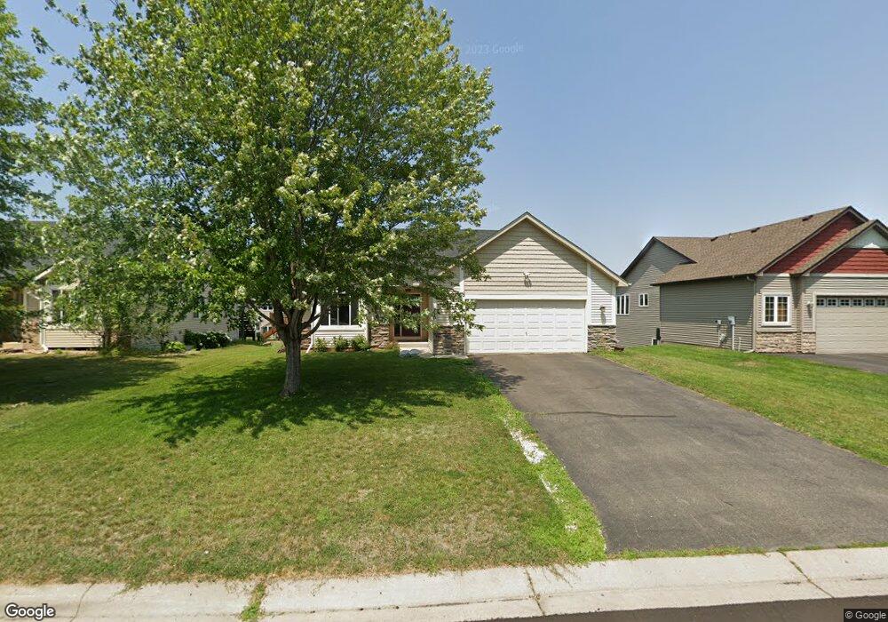
217 217 Arabian Ave W Shakopee, MN 55379
Estimated Value: $378,000 - $421,000
4
Beds
2
Baths
1,036
Sq Ft
$387/Sq Ft
Est. Value
About This Home
This home is located at 217 217 Arabian Ave W, Shakopee, MN 55379 and is currently estimated at $401,287, approximately $387 per square foot. 217 217 Arabian Ave W is a home located in Scott County with nearby schools including Jackson Elementary School, East Middle School, and Shakopee Senior High School.
Ownership History
Date
Name
Owned For
Owner Type
Purchase Details
Closed on
Nov 14, 2008
Sold by
Deutsche Bank Natl Trust Co
Bought by
Yesenko Joel
Current Estimated Value
Purchase Details
Closed on
Jan 5, 2007
Sold by
Mw Johnson Construction Inc
Bought by
Brutskya Tanya
Create a Home Valuation Report for This Property
The Home Valuation Report is an in-depth analysis detailing your home's value as well as a comparison with similar homes in the area
Home Values in the Area
Average Home Value in this Area
Purchase History
| Date | Buyer | Sale Price | Title Company |
|---|---|---|---|
| Yesenko Joel | $209,900 | -- | |
| Brutskya Tanya | $310,346 | -- |
Source: Public Records
Tax History Compared to Growth
Tax History
| Year | Tax Paid | Tax Assessment Tax Assessment Total Assessment is a certain percentage of the fair market value that is determined by local assessors to be the total taxable value of land and additions on the property. | Land | Improvement |
|---|---|---|---|---|
| 2025 | $3,750 | $352,800 | $140,600 | $212,200 |
| 2024 | $3,672 | $366,300 | $152,800 | $213,500 |
| 2023 | $3,782 | $347,000 | $144,200 | $202,800 |
| 2022 | $3,650 | $350,900 | $144,200 | $206,700 |
| 2021 | $3,208 | $294,600 | $116,300 | $178,300 |
| 2020 | $3,472 | $284,500 | $105,200 | $179,300 |
| 2019 | $3,422 | $271,600 | $94,900 | $176,700 |
| 2018 | $3,462 | $0 | $0 | $0 |
| 2016 | $3,268 | $0 | $0 | $0 |
| 2014 | -- | $0 | $0 | $0 |
Source: Public Records
Map
Nearby Homes
- 233 Dongola Ln
- 125 Pottok Ln
- 1530 Mcintosh Cir
- 1573 Creekside Ln
- 1679 Nordland St
- 726 Regent Dr
- 1949 Lusitano St
- 2065 Lusitano St
- 1969 Lusitano St
- 2009 Lusitano St
- 1646 Liberty Cir
- 291 Appleblossom Ln
- 1574 Liberty Cir Unit 2406
- 1534 Liberty Cir
- 1507 Liberty Cir
- 627 Providence Dr
- 1179 Cubasue Ct
- 1690 Windigo Ln
- 137 Hickory Ln E
- 820 Princeton Ave Unit 4505
- 219 Arabian Ave W
- 229 Arabian Ave W
- 205 Arabian Ave W
- 205 205 Arabian-Avenue-w
- 214 Ardennes Ave W
- 216 216 Ardennes Ave W
- 241 Arabian Ave W
- 241 241 Arabian-Avenue-w
- 228 Ardennes Ave W
- 204 Ardennes Ave W
- 240 Ardennes Ave W
- 216 Arabian Ave W
- 216 216 Arabian-Avenue-w
- 253 Arabian Ave W
- 226 Arabian Ave W
- 206 Arabian Ave W
- 195 Arabian Ave W
- 236 Arabian Ave W
- 252 Ardennes Ave W
- 194 Ardennes Ave W