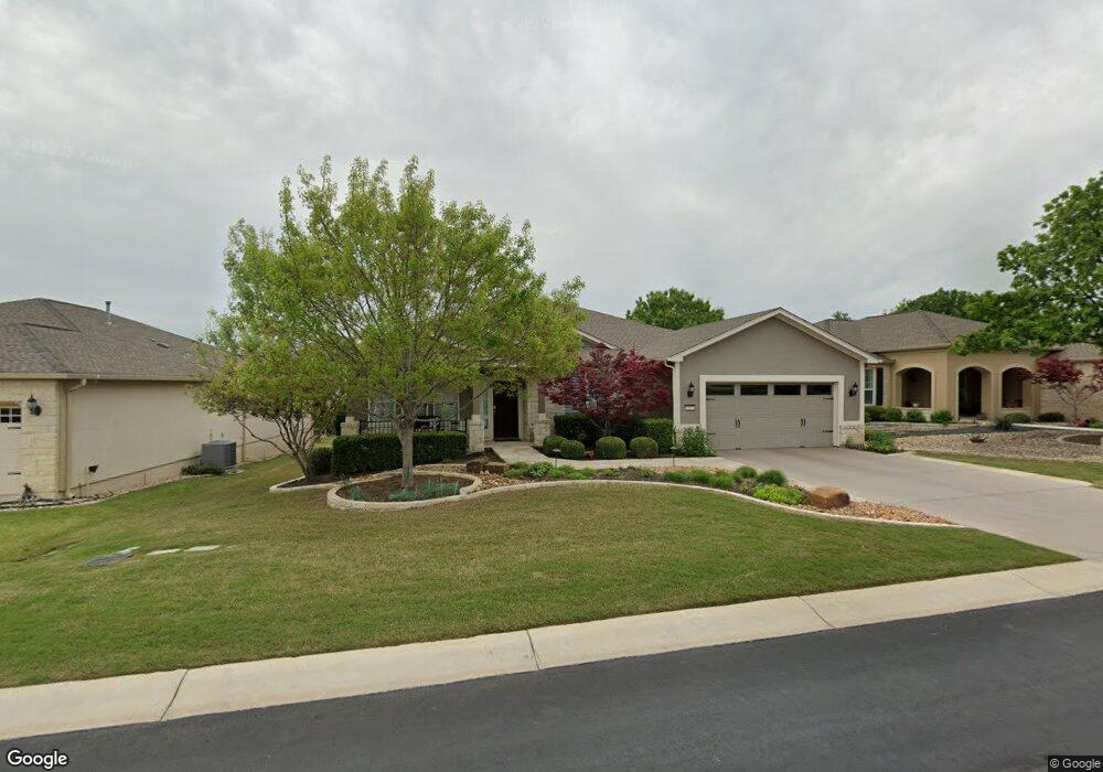
217 Apache Mountain Ln Georgetown, TX 78633
Sun City NeighborhoodEstimated Value: $567,000 - $610,000
Studio
4
Baths
2,581
Sq Ft
$225/Sq Ft
Est. Value
About This Home
This home is located at 217 Apache Mountain Ln, Georgetown, TX 78633 and is currently estimated at $580,417, approximately $224 per square foot. 217 Apache Mountain Ln is a home located in Williamson County.
Ownership History
Date
Name
Owned For
Owner Type
Purchase Details
Closed on
Dec 20, 2018
Sold by
Bidner Sandy M and Bidner Lois M
Bought by
Bidner Sandy Moe and Bidner Lois Marcia
Current Estimated Value
Purchase Details
Closed on
Apr 30, 2010
Sold by
Del Webb Texas Limited Partnership
Bought by
Bidner Sandy M and Bidner Lois M
Home Financials for this Owner
Home Financials are based on the most recent Mortgage that was taken out on this home.
Original Mortgage
$282,294
Outstanding Balance
$191,054
Interest Rate
5.25%
Mortgage Type
FHA
Estimated Equity
$389,363
Create a Home Valuation Report for This Property
The Home Valuation Report is an in-depth analysis detailing your home's value as well as a comparison with similar homes in the area
Home Values in the Area
Average Home Value in this Area
Purchase History
| Date | Buyer | Sale Price | Title Company |
|---|---|---|---|
| Bidner Sandy Moe | -- | None Available | |
| Bidner Sandy M | -- | None Available |
Source: Public Records
Mortgage History
| Date | Status | Borrower | Loan Amount |
|---|---|---|---|
| Open | Bidner Sandy M | $282,294 |
Source: Public Records
Tax History
| Year | Tax Paid | Tax Assessment Tax Assessment Total Assessment is a certain percentage of the fair market value that is determined by local assessors to be the total taxable value of land and additions on the property. | Land | Improvement |
|---|---|---|---|---|
| 2025 | $3,858 | $616,658 | $80,000 | $536,658 |
| 2024 | $3,858 | $564,422 | $80,000 | $484,422 |
| 2023 | $3,868 | $553,676 | $0 | $0 |
| 2022 | $9,882 | $503,342 | $0 | $0 |
| 2021 | $9,993 | $457,584 | $62,000 | $426,182 |
| 2020 | $9,225 | $415,985 | $55,245 | $360,740 |
| 2019 | $9,718 | $424,734 | $53,500 | $371,234 |
| 2018 | $6,268 | $424,734 | $53,500 | $371,234 |
| 2017 | $9,610 | $416,107 | $50,000 | $366,107 |
| 2016 | $9,231 | $399,707 | $33,600 | $366,107 |
| 2015 | $6,408 | $363,418 | $33,600 | $349,853 |
| 2014 | $6,408 | $330,380 | $0 | $0 |
Source: Public Records
Map
Nearby Homes
- 214 Apache Mountain Ln
- 110 Emory Peak Trail
- 302 Pipe Creek Ln
- 304 Pipe Creek Ln
- 136 Prairie Creek Trail
- 310 Pipe Creek Ln
- 114 Bee Creek Ct
- 122 Lost Peak Path
- 124 Huntsville Cove
- 203 Independence Creek Ln
- 915 Apache Mountain Ln
- 213 Fieldstone Dr
- 208 Bear Creek Ln
- 308 Hanging Star Ln
- 106 Kickapoo Creek Ln
- 111 McKittrick Ridge Rd
- 416 Palmetto Dr
- 834 Salado Creek Ln
- 205 Standing Oak Dr
- 205 McKittrick Ridge Rd
- 219 Apache Mountain Ln
- 215 Apache Mountain Ln
- 109 Eagle Mountain Cove
- 213 Apache Mountain Ln
- 102 Beach Mountain Cove
- 105 Emory Peak Trail
- 103 Emory Peak Trail
- 211 Apache Mountain Ln
- 107 Emory Peak Trail
- 103 Beach Mountain Cove
- 106 Eagle Mountain Cove
- 216 Apache Mountain Ln
- 104 Beach Mountain Cove
- 109 Emory Peak Trail
- 209 Apache Mountain Ln
- 105 Beach Mountain Cove
- 212 Apache Mountain Ln
- 111 Emory Peak Trail
- 304 Apache Mountain Ln
- 104 Eagle Mountain Cove
Your Personal Tour Guide
Ask me questions while you tour the home.