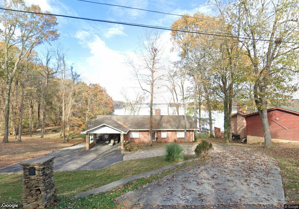
217 Kebu Rd Mount Juliet, TN 37122
Estimated Value: $1,004,000 - $1,204,000
3
Beds
3
Baths
2,744
Sq Ft
$397/Sq Ft
Est. Value
About This Home
This home is located at 217 Kebu Rd, Mount Juliet, TN 37122 and is currently estimated at $1,088,014, approximately $396 per square foot. 217 Kebu Rd is a home located in Wilson County with nearby schools including Lakeview Elementary School, Mt. Juliet Middle School, and Green Hill High School.
Ownership History
Date
Name
Owned For
Owner Type
Purchase Details
Closed on
Jul 31, 2015
Sold by
Mcgrady William D
Bought by
Padgett John R and Padgett Lanell B
Current Estimated Value
Purchase Details
Closed on
Nov 30, 2006
Sold by
Michael Smith
Bought by
Mcgrady William D
Home Financials for this Owner
Home Financials are based on the most recent Mortgage that was taken out on this home.
Original Mortgage
$408,750
Interest Rate
6.29%
Purchase Details
Closed on
May 22, 2006
Sold by
Estat Glenn Mildred Anne W
Bought by
Michael Smith
Home Financials for this Owner
Home Financials are based on the most recent Mortgage that was taken out on this home.
Original Mortgage
$331,000
Interest Rate
6.44%
Purchase Details
Closed on
Apr 4, 1904
Bought by
Glenn Cecil M and Glenn Mildred
Create a Home Valuation Report for This Property
The Home Valuation Report is an in-depth analysis detailing your home's value as well as a comparison with similar homes in the area
Home Values in the Area
Average Home Value in this Area
Purchase History
| Date | Buyer | Sale Price | Title Company |
|---|---|---|---|
| Padgett John R | $565,000 | -- | |
| Mcgrady William D | $545,000 | -- | |
| Michael Smith | $256,000 | -- | |
| Glenn Cecil M | -- | -- |
Source: Public Records
Mortgage History
| Date | Status | Borrower | Loan Amount |
|---|---|---|---|
| Previous Owner | Glenn Cecil M | $408,750 | |
| Previous Owner | Glenn Cecil M | $136,250 | |
| Previous Owner | Glenn Cecil M | $331,000 |
Source: Public Records
Tax History Compared to Growth
Tax History
| Year | Tax Paid | Tax Assessment Tax Assessment Total Assessment is a certain percentage of the fair market value that is determined by local assessors to be the total taxable value of land and additions on the property. | Land | Improvement |
|---|---|---|---|---|
| 2024 | $3,218 | $168,575 | $41,250 | $127,325 |
| 2022 | $2,738 | $143,450 | $41,250 | $102,200 |
| 2021 | $2,738 | $143,450 | $41,250 | $102,200 |
| 2020 | $3,892 | $143,450 | $41,250 | $102,200 |
| 2019 | $3,892 | $154,500 | $41,250 | $113,250 |
| 2018 | $3,892 | $154,500 | $41,250 | $113,250 |
| 2017 | $3,892 | $154,500 | $41,250 | $113,250 |
| 2016 | $4,297 | $170,600 | $41,250 | $129,350 |
| 2015 | $4,385 | $170,600 | $41,250 | $129,350 |
| 2014 | $3,117 | $121,268 | $0 | $0 |
Source: Public Records
Map
Nearby Homes
- 37 Kebu Rd
- 2237 Saundersville Ferry Rd
- 300 Dani Ct
- 206 James Matthew Ln
- 14 Lake Forest Dr
- 1010 Noel Dr
- 1896 Saundersville Ferry Rd
- 4245 Nonaville Rd
- 622 Oakwood Terrace
- 310 Weeping Elm Rd
- 429 Beacon Hill Dr
- 425 Beth Dr
- 1009 Mystic Streams Dr
- 118B Moonlight Dr
- 316 River Dr
- 1012 Broughton Place
- 1003 Bellwood Dr
- 333 Burris Rd
- 3904 Saundersville Ferry Rd
- 3860 Saundersville Ferry Rd