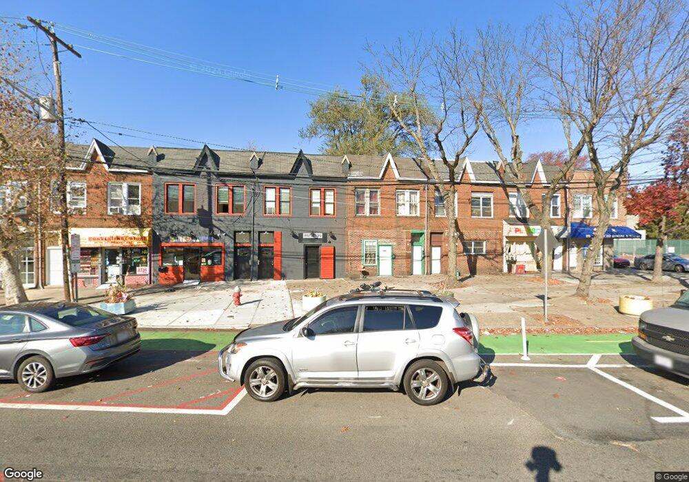
217 Mallory Ave Jersey City, NJ 07304
West Side NeighborhoodEstimated Value: $746,000 - $805,000
2
Beds
1
Bath
2,394
Sq Ft
$325/Sq Ft
Est. Value
About This Home
This home is located at 217 Mallory Ave, Jersey City, NJ 07304 and is currently estimated at $777,333, approximately $324 per square foot. 217 Mallory Ave is a home located in Hudson County with nearby schools including Dr. Paul Rafalides School, P.S. 33, Chaplain Charles Watters School, PS #24, and Lincoln High School.
Ownership History
Date
Name
Owned For
Owner Type
Purchase Details
Closed on
Dec 12, 2024
Sold by
Foo Patricia
Bought by
Foo Patricia and Foo Stephanie Alexia
Current Estimated Value
Purchase Details
Closed on
Apr 15, 2011
Sold by
Collins Carole
Bought by
Foo Patricia
Create a Home Valuation Report for This Property
The Home Valuation Report is an in-depth analysis detailing your home's value as well as a comparison with similar homes in the area
Home Values in the Area
Average Home Value in this Area
Purchase History
| Date | Buyer | Sale Price | Title Company |
|---|---|---|---|
| Foo Patricia | -- | First American Title | |
| Foo Patricia | -- | First American Title | |
| Foo Patricia | $90,000 | -- |
Source: Public Records
Tax History Compared to Growth
Tax History
| Year | Tax Paid | Tax Assessment Tax Assessment Total Assessment is a certain percentage of the fair market value that is determined by local assessors to be the total taxable value of land and additions on the property. | Land | Improvement |
|---|---|---|---|---|
| 2025 | $7,786 | $348,700 | $98,500 | $250,200 |
| 2024 | $7,835 | $348,700 | $98,500 | $250,200 |
| 2023 | $7,835 | $348,700 | $98,500 | $250,200 |
| 2022 | $7,385 | $348,700 | $98,500 | $250,200 |
| 2021 | $5,593 | $348,700 | $98,500 | $250,200 |
| 2020 | $5,614 | $348,700 | $98,500 | $250,200 |
| 2019 | $5,370 | $348,700 | $98,500 | $250,200 |
| 2018 | $1,265 | $348,700 | $98,500 | $250,200 |
| 2017 | $6,630 | $85,000 | $12,800 | $72,200 |
| 2016 | $6,546 | $85,000 | $12,800 | $72,200 |
| 2015 | $6,360 | $85,000 | $12,800 | $72,200 |
| 2014 | $6,319 | $100,000 | $12,800 | $87,200 |
Source: Public Records
Map
Nearby Homes
- 240 Clendenny Ave Unit 5A
- 248 Clendenny Ave Unit 4
- 143 Roosevelt Ave
- 262 Clendenny Ave Unit 6
- 262 Clendenny Ave Unit 4
- 12 Miller St
- 10 Miller St
- 172 Mallory Ave
- 183 Lexington Ave
- 175 Lexington Ave
- 386 Union St
- 16 Delaware Ave
- 134 Boyd Ave
- 119 Clendenny Ave Unit 3L
- 108 Clendenny Ave
- 301 Ege Ave
- 102 Clendenny Ave
- 136 Clarke Ave
- 314 Union St
- 244 Clinton Ave
- 219 Mallory Ave
- 221 Mallory Ave Unit 1
- 221 Mallory Ave Unit 2
- 221 Mallory Ave
- 215 Mallory Ave Unit 2
- 215 Mallory Ave Unit 1
- 215 Mallory Ave Unit Rear Apt
- 213 Mallory Ave Unit 2
- 213 Mallory Ave Unit 1
- 213 Mallory Ave
- 211 Mallory Ave Unit 2
- 211 Mallory Ave Unit 2
- 209 Mallory Ave Unit 2r
- 209 Mallory Ave
- 207a Mallory Ave Unit 2F
- 207a Mallory Ave Unit 2r
- 232 Lexington Ave Unit U1
- 232 Lexington Ave Unit 2
- 232 Lexington Ave
- 232 Lexington Ave