217 Maple Brook Rd Bellingham, MA 02019
Estimated Value: $369,897 - $459,000
2
Beds
2
Baths
1,278
Sq Ft
$316/Sq Ft
Est. Value
About This Home
This home is located at 217 Maple Brook Rd, Bellingham, MA 02019 and is currently estimated at $403,474, approximately $315 per square foot. 217 Maple Brook Rd is a home located in Norfolk County with nearby schools including Stall Brook Elementary School, Bellingham High School, and Mendon Mennonite School.
Ownership History
Date
Name
Owned For
Owner Type
Purchase Details
Closed on
Jan 27, 1995
Sold by
Vignolo Joseph R and Vignolo Theresa M
Bought by
Higgins Ralph A and Higgins Lois A
Current Estimated Value
Purchase Details
Closed on
Jun 2, 1988
Sold by
Celtic Dev Corp
Bought by
Dwyer William E
Home Financials for this Owner
Home Financials are based on the most recent Mortgage that was taken out on this home.
Original Mortgage
$120,000
Interest Rate
10.24%
Mortgage Type
Purchase Money Mortgage
Create a Home Valuation Report for This Property
The Home Valuation Report is an in-depth analysis detailing your home's value as well as a comparison with similar homes in the area
Home Values in the Area
Average Home Value in this Area
Purchase History
| Date | Buyer | Sale Price | Title Company |
|---|---|---|---|
| Higgins Ralph A | $81,000 | -- | |
| Dwyer William E | $69,500 | -- |
Source: Public Records
Mortgage History
| Date | Status | Borrower | Loan Amount |
|---|---|---|---|
| Open | Dwyer William E | $50,000 | |
| Previous Owner | Dwyer William E | $120,000 |
Source: Public Records
Tax History
| Year | Tax Paid | Tax Assessment Tax Assessment Total Assessment is a certain percentage of the fair market value that is determined by local assessors to be the total taxable value of land and additions on the property. | Land | Improvement |
|---|---|---|---|---|
| 2025 | $3,538 | $281,700 | $0 | $281,700 |
| 2024 | $3,524 | $274,000 | $0 | $274,000 |
| 2023 | $3,342 | $256,100 | $0 | $256,100 |
| 2022 | $3,206 | $227,700 | $0 | $227,700 |
| 2021 | $3,180 | $220,700 | $0 | $220,700 |
| 2020 | $2,988 | $210,100 | $0 | $210,100 |
| 2019 | $2,824 | $198,700 | $0 | $198,700 |
| 2018 | $2,775 | $192,600 | $0 | $192,600 |
| 2017 | $2,684 | $187,200 | $0 | $187,200 |
| 2016 | $2,475 | $173,200 | $0 | $173,200 |
| 2015 | $2,468 | $173,200 | $0 | $173,200 |
| 2014 | $2,514 | $171,500 | $0 | $171,500 |
Source: Public Records
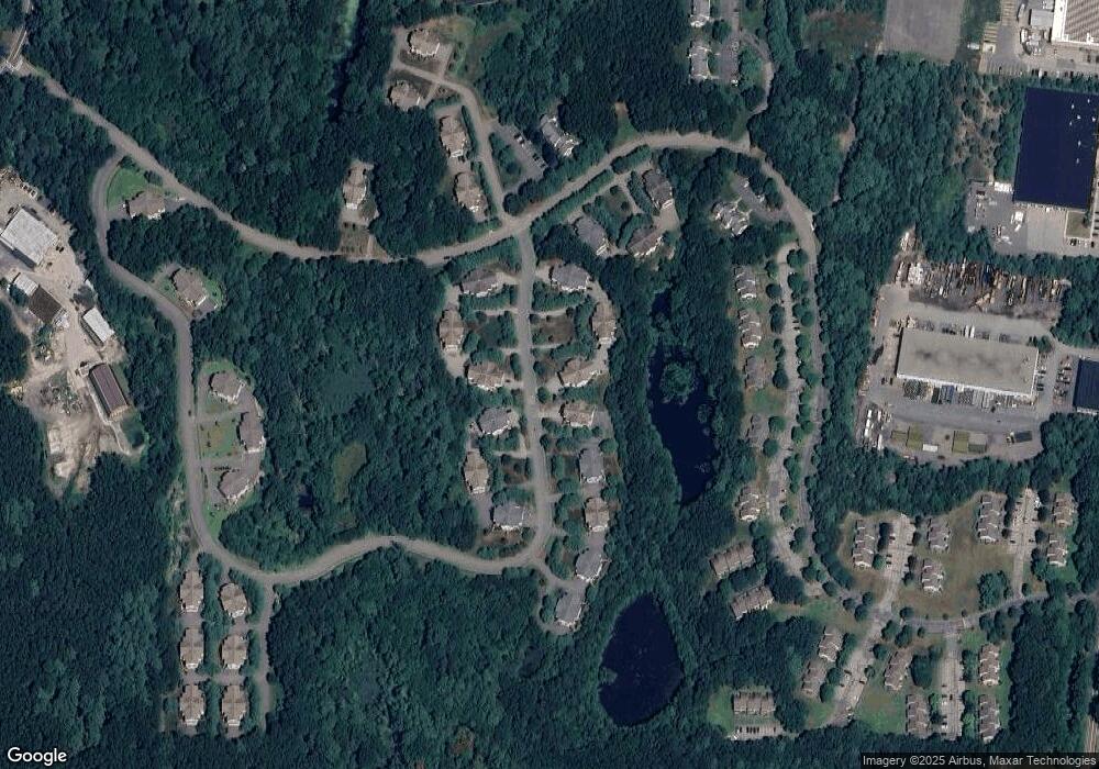
Map
Nearby Homes
- 1303 Old Bridge Ln Unit 1303
- 1501 Old Bridge Ln Unit 1501
- 3003 Maple Brook Rd Unit 3003
- 67 Blackstone St
- 125 Blackstone St
- 19 Geordan Ave
- 7 Palmetto Dr Unit 7
- 58 Douglas Dr
- 34 Bellwood Cir Unit 34
- 1 Evergreen Dr Unit 1
- 18 Bubbling Brook Rd
- 23 Bellwood Cir Unit 23
- 5 Stone Ridge Rd
- 834-836 W Central St
- 1 Whitman Cir Unit 1
- 3 Whitman Cir Unit 3
- 5 Whitman Cir Unit 5
- 0 North St Unit 73440626
- 214 Conlyn Ave
- 352 Lake St
- 211 Maple Brook Rd
- 213 Maple Brook Rd
- 215 Maple Brook Rd
- 219 Maple Brook Rd
- 221 Maple Brook Rd
- 211 Maple Brook Rd Unit 211,6
- 402 Maple Brook Rd
- 404 Maple Brook Rd
- 406 Maple Brook Rd
- 408 Maple Brook Rd
- 410 Maple Brook Rd
- 402 Maple Brook Rd Unit 402
- 410 Maple Brook Rd Unit 410
- 404 Maple Brook Rd Unit 404
- 222 Maple Brook Rd
- 220 Maple Brook Rd
- 218 Maple Brook Rd
- 216 Maple Brook Rd
- 214 Maple Brook Rd
- 212 Maple Brook Rd
Your Personal Tour Guide
Ask me questions while you tour the home.