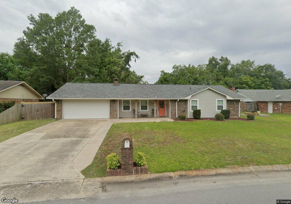
217 Mcguire Dr Long Beach, MS 39560
Estimated Value: $193,444 - $239,000
4
Beds
1
Bath
1,935
Sq Ft
$112/Sq Ft
Est. Value
About This Home
This home is located at 217 Mcguire Dr, Long Beach, MS 39560 and is currently estimated at $217,611, approximately $112 per square foot. 217 Mcguire Dr is a home located in Harrison County with nearby schools including W.J. Quarles Elementary School, Harper McCaughan Elementary School, and Long Beach Middle School.
Ownership History
Date
Name
Owned For
Owner Type
Purchase Details
Closed on
Mar 11, 2015
Bought by
Ronnie Ronnie E and Ronnie Thordis G
Current Estimated Value
Purchase Details
Closed on
Oct 10, 2013
Sold by
Harvey Ronnie E and Harvey Ronnie E
Bought by
Harvey Ronnie and Harvey Ronnie
Home Financials for this Owner
Home Financials are based on the most recent Mortgage that was taken out on this home.
Original Mortgage
$99,200
Interest Rate
4.57%
Mortgage Type
Unknown
Create a Home Valuation Report for This Property
The Home Valuation Report is an in-depth analysis detailing your home's value as well as a comparison with similar homes in the area
Home Values in the Area
Average Home Value in this Area
Purchase History
| Date | Buyer | Sale Price | Title Company |
|---|---|---|---|
| Ronnie Ronnie E | -- | -- | |
| Harvey Ronnie | -- | -- |
Source: Public Records
Mortgage History
| Date | Status | Borrower | Loan Amount |
|---|---|---|---|
| Previous Owner | Harvey Ronnie | $99,200 |
Source: Public Records
Tax History
| Year | Tax Paid | Tax Assessment Tax Assessment Total Assessment is a certain percentage of the fair market value that is determined by local assessors to be the total taxable value of land and additions on the property. | Land | Improvement |
|---|---|---|---|---|
| 2025 | $1,350 | $10,243 | $0 | $0 |
| 2024 | $1,279 | $9,874 | $0 | $0 |
| 2023 | $1,279 | $9,874 | $0 | $0 |
| 2022 | $1,233 | $9,874 | $0 | $0 |
| 2021 | $1,311 | $9,909 | $0 | $0 |
| 2020 | $1,194 | $9,166 | $0 | $0 |
| 2019 | $1,204 | $9,166 | $0 | $0 |
| 2018 | $1,079 | $9,166 | $0 | $0 |
| 2017 | $1,079 | $9,166 | $0 | $0 |
| 2015 | $1,131 | $9,664 | $0 | $0 |
| 2014 | -- | $7,164 | $0 | $0 |
| 2013 | -- | $9,664 | $2,500 | $7,164 |
Source: Public Records
Map
Nearby Homes
- 103 Reeves St
- 110 Jamaica St
- 105 Suffolk Dr
- 6019 Red Gate Dr
- 20044 Commission Rd
- 211 Palmyra St
- 1089 Enclave Cir
- 1091 Enclave Cir
- 1054 Enclave Cir
- 1021 Enclave Cir
- 0 Quarles Ave
- 3029 Sea Oats Dr
- 0 Valarie Dr
- 205 Shalimar Dr
- 1998 Pettits Ln
- 3002 Sea Oats Dr
- 501 Old Savannah Dr
- 20091 Lovers Ln
- 0 Kays Dr
- 6022 Seagull Dr
Your Personal Tour Guide
Ask me questions while you tour the home.