Estimated Value: $464,000 - $512,044
3
Beds
2
Baths
2,378
Sq Ft
$203/Sq Ft
Est. Value
About This Home
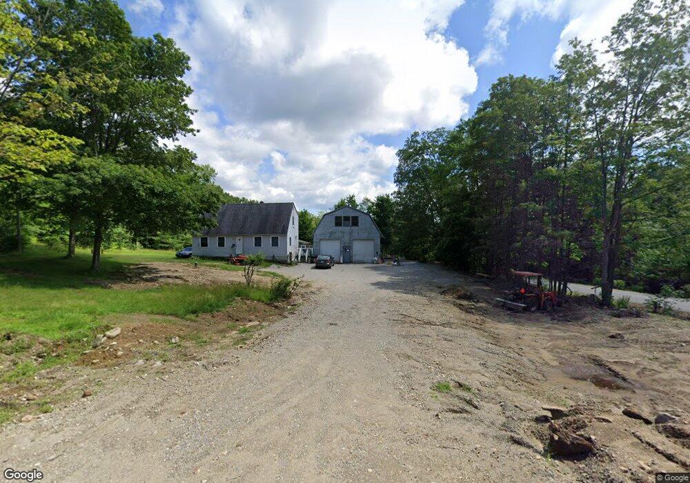
This home is located at 217 Mountain Rd, Weare, NH 03281 and is currently estimated at $483,261, approximately $203 per square foot. 217 Mountain Rd is a home with nearby schools including Center Woods Elementary School, Weare Middle School, and John Stark Regional High School.
Ownership History
Date
Name
Owned For
Owner Type
Purchase Details
Closed on
Feb 25, 2025
Sold by
Sestito Darlene
Bought by
Darlene Sestito Ft and Sestito
Current Estimated Value
Create a Home Valuation Report for This Property
The Home Valuation Report is an in-depth analysis detailing your home's value as well as a comparison with similar homes in the area
Home Values in the Area
Average Home Value in this Area
Purchase History
| Date | Buyer | Sale Price | Title Company |
|---|---|---|---|
| Darlene Sestito Ft | -- | None Available | |
| Darlene Sestito Ft | -- | None Available |
Source: Public Records
Tax History Compared to Growth
Tax History
| Year | Tax Paid | Tax Assessment Tax Assessment Total Assessment is a certain percentage of the fair market value that is determined by local assessors to be the total taxable value of land and additions on the property. | Land | Improvement |
|---|---|---|---|---|
| 2024 | $6,841 | $335,500 | $106,700 | $228,800 |
| 2023 | $6,321 | $335,500 | $106,700 | $228,800 |
| 2022 | $5,838 | $335,500 | $106,700 | $228,800 |
| 2021 | $5,771 | $335,500 | $106,700 | $228,800 |
| 2020 | $4,895 | $204,400 | $75,000 | $129,400 |
| 2019 | $4,846 | $204,400 | $75,000 | $129,400 |
| 2018 | $4,707 | $204,400 | $75,000 | $129,400 |
| 2016 | $4,572 | $204,400 | $75,000 | $129,400 |
| 2015 | $4,520 | $201,700 | $74,900 | $126,800 |
| 2014 | $4,455 | $200,600 | $74,900 | $125,700 |
| 2013 | $4,363 | $200,600 | $74,900 | $125,700 |
Source: Public Records
Map
Nearby Homes
- 200 Mountain Rd
- 238 Old Francestown Rd
- 196 Deering Center Rd
- Lot 1-50-1 Colburn Rd
- 179 Oak Hill Rd
- 194 Buckley Rd Unit 2
- 194 Buckley Rd Unit 44
- 281 Hodgdon Rd
- 133 Hay Hill Rd
- 624 S Stark Hwy
- 103 Renshaw Rd
- 450 Weare Rd
- 10 Sap House Rd
- 30 Dels Way
- 77 Gould Rd
- 342 Weare Rd
- Lot 2 Journeys End Rd
- Lot 3 Journeys End Rd
- 252 Clark Hill Rd
- 93 Daniels Rd
- 0 Bartlett Dr
- 0 Bartlett Dr Unit 4327307
- 207 Mountain Rd
- 227 Mountain Rd
- 222 Mountain Rd
- 199 Mountain Rd
- 231 Mountain Rd
- 29 Etta Ln
- 24 Etta Ln Unit 2
- 24 Etta Ln
- 11 Bartlett Dr
- 242 Mountain Rd
- 195 Mountain Rd
- 239 Mountain Rd
- 35 Etta Ln
- 188 Mountain Rd
- 41 Etta Ln
- 24 Lawrence Rd
- 40 Bartlett Dr
- 10 Lawrence Rd