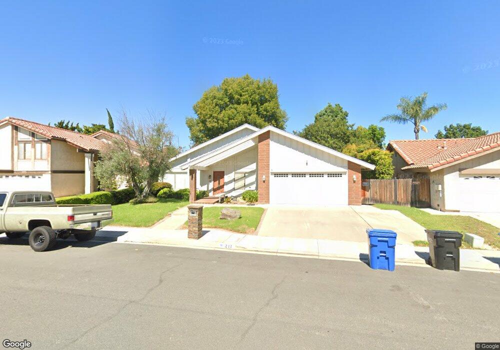
217 Odebolt Dr Thousand Oaks, CA 91360
Estimated Value: $890,000 - $1,061,000
3
Beds
2
Baths
1,611
Sq Ft
$601/Sq Ft
Est. Value
About This Home
This home is located at 217 Odebolt Dr, Thousand Oaks, CA 91360 and is currently estimated at $967,827, approximately $600 per square foot. 217 Odebolt Dr is a home located in Ventura County with nearby schools including Wildwood Elementary School, Redwood Middle School, and Thousand Oaks High School.
Ownership History
Date
Name
Owned For
Owner Type
Purchase Details
Closed on
Feb 26, 1997
Sold by
Bryant Clarence R and Bryant Susan R
Bought by
Charles Roy C and Charles Stephanie
Current Estimated Value
Home Financials for this Owner
Home Financials are based on the most recent Mortgage that was taken out on this home.
Original Mortgage
$229,500
Interest Rate
7.87%
Purchase Details
Closed on
May 15, 1995
Sold by
Nosek Jerome T and Nosek Melanie A
Bought by
Bryant Clarence R and Bryant Susan R
Home Financials for this Owner
Home Financials are based on the most recent Mortgage that was taken out on this home.
Original Mortgage
$170,000
Interest Rate
8.32%
Create a Home Valuation Report for This Property
The Home Valuation Report is an in-depth analysis detailing your home's value as well as a comparison with similar homes in the area
Purchase History
| Date | Buyer | Sale Price | Title Company |
|---|---|---|---|
| Charles Roy C | $255,000 | Lawyers Title Company | |
| Bryant Clarence R | $245,000 | Lincoln Title Company |
Source: Public Records
Mortgage History
| Date | Status | Borrower | Loan Amount |
|---|---|---|---|
| Previous Owner | Charles Roy C | $229,500 | |
| Previous Owner | Bryant Clarence R | $170,000 |
Source: Public Records
Tax History Compared to Growth
Tax History
| Year | Tax Paid | Tax Assessment Tax Assessment Total Assessment is a certain percentage of the fair market value that is determined by local assessors to be the total taxable value of land and additions on the property. | Land | Improvement |
|---|---|---|---|---|
| 2025 | $5,320 | $415,242 | $166,092 | $249,150 |
| 2024 | $5,320 | $407,100 | $162,835 | $244,265 |
| 2023 | $5,153 | $399,118 | $159,642 | $239,476 |
| 2022 | $5,038 | $391,293 | $156,512 | $234,781 |
| 2021 | $4,921 | $383,621 | $153,443 | $230,178 |
| 2020 | $4,494 | $379,690 | $151,871 | $227,819 |
| 2019 | $4,373 | $372,246 | $148,894 | $223,352 |
| 2018 | $4,279 | $364,948 | $145,975 | $218,973 |
| 2017 | $4,189 | $357,793 | $143,113 | $214,680 |
| 2016 | $4,140 | $350,778 | $140,307 | $210,471 |
| 2015 | $4,061 | $345,510 | $138,200 | $207,310 |
| 2014 | $3,996 | $338,744 | $135,494 | $203,250 |
Source: Public Records
Map
Nearby Homes
- 205 Cedar Heights Dr
- 2724 Cabot Ct
- 382 Thunderhead St
- 226 Tennyson St
- 479 Serento Cir
- 2531 Scott Place
- 2680 La Paloma Cir
- 250 W Avenida de Las Flores
- 579 Rio Grande Cir
- 166 Whitworth St
- 167 Siesta Ave
- 87 Mcafee Ct
- 2340 Aldrich Cir
- 3411 Hill Canyon Ave
- 3307 Rainbow Creek Cir
- 2219 Goldsmith Ave
- 721 Calle Fresno
- 751 Wildwood Ave
- 2747 Granvia Place
- 2660 Calle Abedul
- 211 Odebolt Dr
- 223 Odebolt Dr
- 206 Cedar Heights Dr
- 218 Cedar Heights Dr
- 205 Odebolt Dr
- 229 Odebolt Dr
- 214 Odebolt Dr
- 200 Cedar Heights Dr
- 224 Cedar Heights Dr
- 220 Odebolt Dr
- 208 Odebolt Dr
- 199 Odebolt Dr
- 235 Odebolt Dr
- 194 Cedar Heights Dr
- 230 Cedar Heights Dr
- 192 Odebolt Dr
- 2860 Birchcreek Place
- 215 Cedar Heights Dr
- 209 Cedar Heights Dr
- 241 Odebolt Dr