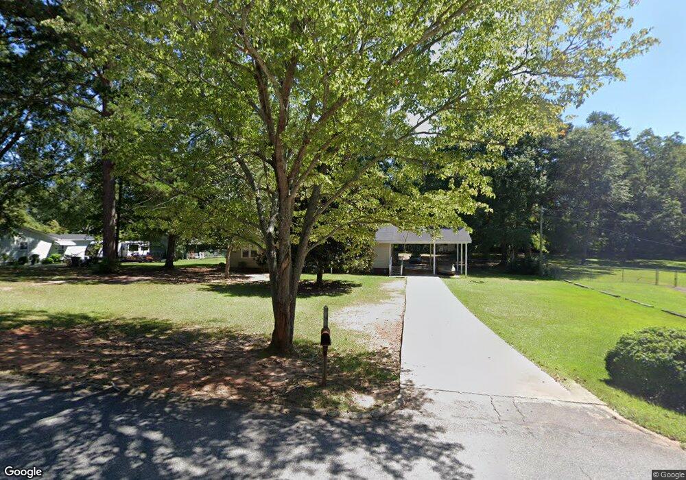
217 Poplar Cir Lagrange, GA 30241
Estimated Value: $206,000 - $235,000
4
Beds
2
Baths
2,104
Sq Ft
$105/Sq Ft
Est. Value
About This Home
This home is located at 217 Poplar Cir, Lagrange, GA 30241 and is currently estimated at $220,208, approximately $104 per square foot. 217 Poplar Cir is a home located in Troup County with nearby schools including Callaway Elementary School, Hogansville Elementary School, and Callaway Middle School.
Ownership History
Date
Name
Owned For
Owner Type
Purchase Details
Closed on
Jul 24, 2000
Sold by
Mary Stephan and Mary Calhoun
Bought by
Daniel Cynthia M
Current Estimated Value
Purchase Details
Closed on
Jun 25, 1999
Sold by
John W Brewer
Bought by
Mary Stephan and Mary Calhoun
Purchase Details
Closed on
Oct 2, 1997
Sold by
Stephen W Hall
Bought by
John W Brewer
Purchase Details
Closed on
Sep 30, 1997
Sold by
Stephen W Hall
Bought by
Stephen W Hall
Purchase Details
Closed on
Feb 2, 1988
Sold by
Barnes
Bought by
Stephen W Hall
Purchase Details
Closed on
Jan 1, 1961
Sold by
Margaret Charles and Margaret Potts
Bought by
Barnes
Create a Home Valuation Report for This Property
The Home Valuation Report is an in-depth analysis detailing your home's value as well as a comparison with similar homes in the area
Home Values in the Area
Average Home Value in this Area
Purchase History
| Date | Buyer | Sale Price | Title Company |
|---|---|---|---|
| Daniel Cynthia M | $78,400 | -- | |
| Mary Stephan | $62,500 | -- | |
| John W Brewer | -- | -- | |
| Stephen W Hall | $54,000 | -- | |
| Stephen W Hall | $51,500 | -- | |
| Barnes | -- | -- |
Source: Public Records
Tax History Compared to Growth
Tax History
| Year | Tax Paid | Tax Assessment Tax Assessment Total Assessment is a certain percentage of the fair market value that is determined by local assessors to be the total taxable value of land and additions on the property. | Land | Improvement |
|---|---|---|---|---|
| 2024 | $1,938 | $71,048 | $10,000 | $61,048 |
| 2023 | $1,931 | $70,808 | $10,000 | $60,808 |
| 2022 | $1,827 | $65,448 | $8,000 | $57,448 |
| 2021 | $1,226 | $40,640 | $4,000 | $36,640 |
| 2020 | $1,226 | $40,640 | $4,000 | $36,640 |
| 2019 | $1,226 | $40,652 | $4,000 | $36,652 |
| 2018 | $1,182 | $39,204 | $4,680 | $34,524 |
| 2017 | $1,182 | $39,204 | $4,680 | $34,524 |
| 2016 | $1,065 | $35,318 | $4,680 | $30,638 |
| 2015 | $1,093 | $36,183 | $5,545 | $30,638 |
| 2014 | $1,046 | $34,570 | $5,545 | $29,025 |
| 2013 | -- | $37,661 | $5,220 | $32,441 |
Source: Public Records
Map
Nearby Homes
- 215 Poplar Cir
- 113 Pine Cir
- 311 Mourning Ct Unit LOT 33
- 313 Mourning Ct Unit LOT 32
- 0 Corporate Park Ct E Unit 10608830
- 0 Corporate Park Ct E Unit 10608762
- 1017 Mason St
- 0 E Render St
- 75 Thomas Rd
- 957 Kelley St
- 0 Upper Big Springs Rd Unit 10545622
- 0 Kelley St Unit 10550311
- LOT 4 Borton St
- LOT 3 Borton St
- LOT 5 Borton St
- LOT 6 Borton St
- 15 Fulton St
- 913 Arizona St Unit A AND B
- 1604 S Davis Rd
- 117 Belk St