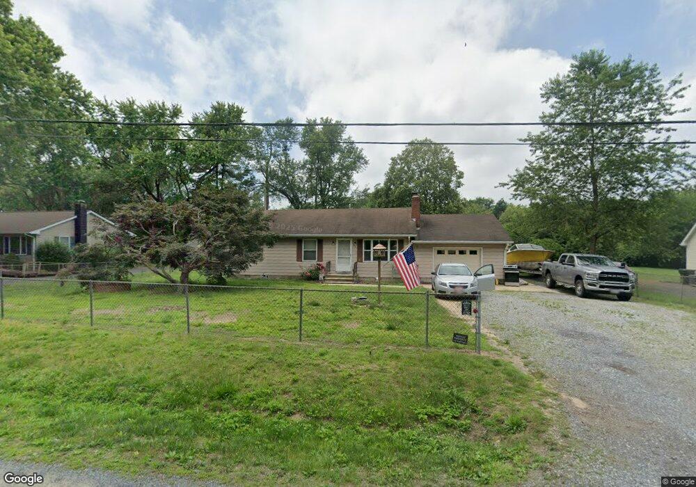
217 Warwick Rd Chestertown, MD 21620
Kingstown NeighborhoodEstimated Value: $255,000 - $318,000
Studio
1
Bath
1,120
Sq Ft
$265/Sq Ft
Est. Value
About This Home
This home is located at 217 Warwick Rd, Chestertown, MD 21620 and is currently estimated at $296,688, approximately $264 per square foot. 217 Warwick Rd is a home located in Queen Anne's County with nearby schools including Church Hill Elementary School, Sudlersville Middle School, and Queen Anne's County High School.
Ownership History
Date
Name
Owned For
Owner Type
Purchase Details
Closed on
Aug 4, 2005
Sold by
Mench Nancy E
Bought by
Taylor Thomas Albert and Taylor Melissa Denise
Current Estimated Value
Home Financials for this Owner
Home Financials are based on the most recent Mortgage that was taken out on this home.
Original Mortgage
$139,600
Outstanding Balance
$72,457
Interest Rate
5.67%
Mortgage Type
New Conventional
Estimated Equity
$224,231
Create a Home Valuation Report for This Property
The Home Valuation Report is an in-depth analysis detailing your home's value as well as a comparison with similar homes in the area
Home Values in the Area
Average Home Value in this Area
Purchase History
| Date | Buyer | Sale Price | Title Company |
|---|---|---|---|
| Taylor Thomas Albert | $174,500 | -- |
Source: Public Records
Mortgage History
| Date | Status | Borrower | Loan Amount |
|---|---|---|---|
| Open | Taylor Thomas Albert | $139,600 | |
| Closed | Taylor Thomas Albert | $34,900 |
Source: Public Records
Tax History
| Year | Tax Paid | Tax Assessment Tax Assessment Total Assessment is a certain percentage of the fair market value that is determined by local assessors to be the total taxable value of land and additions on the property. | Land | Improvement |
|---|---|---|---|---|
| 2025 | $1,774 | $207,700 | $76,000 | $131,700 |
| 2024 | $1,682 | $189,933 | $0 | $0 |
| 2023 | $1,596 | $172,167 | $0 | $0 |
| 2022 | $1,514 | $154,400 | $56,000 | $98,400 |
| 2021 | $1,470 | $150,700 | $0 | $0 |
| 2020 | $1,470 | $147,000 | $0 | $0 |
| 2019 | $1,434 | $143,300 | $56,000 | $87,300 |
| 2018 | $1,434 | $143,300 | $56,000 | $87,300 |
| 2017 | $1,434 | $143,300 | $0 | $0 |
| 2016 | -- | $146,600 | $0 | $0 |
| 2015 | $785 | $146,600 | $0 | $0 |
| 2014 | $785 | $146,600 | $0 | $0 |
Source: Public Records
Map
Nearby Homes
- 213 Central Dr
- 129 Parma Rd
- 222 Dutchess Rd
- 119 Darden Rd
- 0 East St
- 109 S Water St
- 105 High St
- 228 S Water St
- 206 S Water St
- 204 Rolling Rd
- 200 Washington Ave
- 349 & 351 High St
- 349 High St
- 0 Elm St Unit MDKE2003590
- 201 Greenwood Ave
- 222 Mount Vernon Ave
- 121 Primrose Rd
- 304 Hadaway Dr
- 108 Little Harbor Way
- 234 N College Ave
- 213 Warwick Rd
- 221 Warwick Rd
- 128 Longfellow Dr
- 132 Longfellow Dr
- 212 Warwick Rd
- 209 Warwick Rd
- 225 Warwick Rd
- 218 Warwick Rd
- 208 Warwick Rd
- 138 Longfellow Dr
- 122 Longfellow Dr
- 204 Warwick Rd
- 229 Warwick Rd
- 207 Warwick Rd
- 222 Warwick Rd
- 113 Tuxedo Rd
- 129 Longfellow Dr
- 117 Tuxedo Rd
- 125 Longfellow Dr
- 142 Longfellow Dr
Your Personal Tour Guide
Ask me questions while you tour the home.