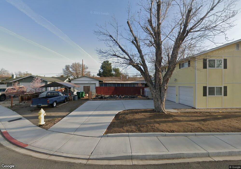
2170 Kim Way Sparks, NV 89431
McCarran Boulevard-Probasco NeighborhoodEstimated Value: $430,908 - $449,000
3
Beds
2
Baths
1,368
Sq Ft
$320/Sq Ft
Est. Value
About This Home
This home is located at 2170 Kim Way, Sparks, NV 89431 and is currently estimated at $437,977, approximately $320 per square foot. 2170 Kim Way is a home located in Washoe County with nearby schools including Greenbrae Elementary School, George L Dilworth Middle School, and Sparks High School.
Ownership History
Date
Name
Owned For
Owner Type
Purchase Details
Closed on
Apr 26, 1994
Sold by
Robertson Stanley D and Robertson Gwen C
Bought by
Barnett Edward A
Current Estimated Value
Home Financials for this Owner
Home Financials are based on the most recent Mortgage that was taken out on this home.
Original Mortgage
$85,500
Interest Rate
7.79%
Create a Home Valuation Report for This Property
The Home Valuation Report is an in-depth analysis detailing your home's value as well as a comparison with similar homes in the area
Home Values in the Area
Average Home Value in this Area
Purchase History
| Date | Buyer | Sale Price | Title Company |
|---|---|---|---|
| Barnett Edward A | $114,000 | Founders Title Company |
Source: Public Records
Mortgage History
| Date | Status | Borrower | Loan Amount |
|---|---|---|---|
| Closed | Barnett Edward A | $85,500 |
Source: Public Records
Tax History Compared to Growth
Tax History
| Year | Tax Paid | Tax Assessment Tax Assessment Total Assessment is a certain percentage of the fair market value that is determined by local assessors to be the total taxable value of land and additions on the property. | Land | Improvement |
|---|---|---|---|---|
| 2025 | $1,625 | $63,396 | $34,879 | $28,516 |
| 2024 | $1,625 | $61,201 | $33,017 | $28,184 |
| 2023 | $1,146 | $60,564 | $33,184 | $27,381 |
| 2022 | $1,532 | $50,490 | $27,032 | $23,458 |
| 2021 | $1,488 | $42,450 | $18,653 | $23,797 |
| 2020 | $1,443 | $41,720 | $16,958 | $24,762 |
| 2019 | $1,401 | $42,961 | $17,789 | $25,172 |
| 2018 | $1,360 | $38,149 | $12,868 | $25,281 |
| 2017 | $1,321 | $37,632 | $11,471 | $26,161 |
| 2016 | $1,288 | $38,254 | $10,973 | $27,281 |
| 2015 | $1,285 | $36,809 | $8,944 | $27,865 |
| 2014 | $1,190 | $33,534 | $7,581 | $25,953 |
| 2013 | -- | $31,877 | $5,686 | $26,191 |
Source: Public Records
Map
Nearby Homes
- 10 Sheridan Way
- 119 Devere Way
- 8 E O St
- 1703 1st St
- 1940 4th St Unit 20
- 1940 4th St Unit 51
- 2865 Patrice Dr
- 1945 4th St Unit 32
- 1945 4th St Unit 33
- 1945 4th St Unit 10
- 120 E Lenwood Dr
- 3071 Meadowlands Dr
- 465 Lenwood Dr
- 370 O'Brien Way
- 707 Glen Meadow Dr
- 3245 Elaine Way
- 3104 Sandy St
- 745 Glen Vista Dr
- 300 I St
- 385 Gleeson Way