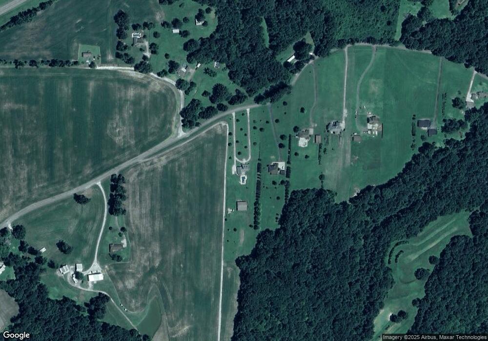
2172 Independence Loop Lexington, TN 38351
Estimated Value: $518,000 - $581,054
4
Beds
4
Baths
4,498
Sq Ft
$125/Sq Ft
Est. Value
About This Home
This home is located at 2172 Independence Loop, Lexington, TN 38351 and is currently estimated at $560,018, approximately $124 per square foot. 2172 Independence Loop is a home located in Henderson County.
Ownership History
Date
Name
Owned For
Owner Type
Purchase Details
Closed on
Nov 29, 2011
Sold by
Federal National Mortgage Association
Bought by
Mason Damien Shane and Mason Kara Leigh
Current Estimated Value
Home Financials for this Owner
Home Financials are based on the most recent Mortgage that was taken out on this home.
Original Mortgage
$152,000
Outstanding Balance
$104,228
Interest Rate
4.06%
Mortgage Type
Commercial
Estimated Equity
$455,790
Purchase Details
Closed on
Jun 30, 2006
Sold by
Jason Usery
Bought by
Nelson Nancy R
Purchase Details
Closed on
Dec 9, 2005
Sold by
Markham Chad D
Bought by
Jason Usery
Purchase Details
Closed on
Sep 23, 2003
Sold by
Marshall Tyler
Bought by
Markham Chad D
Create a Home Valuation Report for This Property
The Home Valuation Report is an in-depth analysis detailing your home's value as well as a comparison with similar homes in the area
Home Values in the Area
Average Home Value in this Area
Purchase History
| Date | Buyer | Sale Price | Title Company |
|---|---|---|---|
| Mason Damien Shane | $190,000 | -- | |
| Nelson Nancy R | $403,900 | -- | |
| Jason Usery | $25,000 | -- | |
| Markham Chad D | $54,000 | -- |
Source: Public Records
Mortgage History
| Date | Status | Borrower | Loan Amount |
|---|---|---|---|
| Open | Mason Damien Shane | $152,000 |
Source: Public Records
Tax History Compared to Growth
Tax History
| Year | Tax Paid | Tax Assessment Tax Assessment Total Assessment is a certain percentage of the fair market value that is determined by local assessors to be the total taxable value of land and additions on the property. | Land | Improvement |
|---|---|---|---|---|
| 2024 | $2,255 | $142,625 | $10,975 | $131,650 |
| 2023 | $2,255 | $142,625 | $10,975 | $131,650 |
| 2022 | $2,230 | $94,050 | $5,825 | $88,225 |
| 2021 | $2,230 | $94,050 | $5,825 | $88,225 |
| 2020 | $2,230 | $94,050 | $5,825 | $88,225 |
| 2019 | $2,230 | $94,050 | $5,825 | $88,225 |
| 2018 | $1,942 | $85,050 | $5,825 | $79,225 |
| 2017 | $1,942 | $85,050 | $5,825 | $79,225 |
| 2016 | $1,961 | $82,550 | $5,825 | $76,725 |
| 2015 | $1,961 | $82,550 | $5,825 | $76,725 |
| 2014 | $1,961 | $82,554 | $0 | $0 |
Source: Public Records
Map
Nearby Homes
- 0 End of 95 @ I-40
- 413 Law Ln
- 0 Us-412 Hwy W
- 1014 Crawford Springs Rd
- 000 I-40 at Exit 93 E
- 688 Spring Creek Law Rd
- 649 Spring Creek Law Rd
- 000 Mt Gilead
- 0 Lakewood Dr E
- 151 Williams Ln
- 1840 Blue Goose Rd
- 00 Springbrook Dr
- 0 Liberty Claybrook Rd
- 00 Liberty Claybrook Rd
- 23 Springview Dr
- 290 Westover Rd
- 2710 Blue Goose Rd
- 2735 Blue Goose Rd
- 0 Daws Ln
- 883 Crucifer Rd
- 2194 Independence Loop
- 2210 Independence Loop
- 2300 Independence Loop
- 121 Indy Ln
- 2215 Independence Loop
- 2322 Independence Loop
- 1940 Independence Loop
- 2005 Independence Loop
- 2402 Independence Loop
- 1784 Independence Loop
- 2365 Independence Loop
- 2464 Independence Loop
- 1722 Independence Loop
- 1700 Independence Loop
- 1450 Independence Loop
- 175 Law Rd
- 2611 Independence Loop
- 233 Law Rd
- 1818 Gurley Creek Rd
- 82 Law Rd
