Estimated Value: $921,000 - $2,834,231
5
Beds
3
Baths
8,672
Sq Ft
$217/Sq Ft
Est. Value
About This Home
This home is located at 2179 9 1/2 Ave, Laton, CA 93242 and is currently estimated at $1,877,616, approximately $216 per square foot. 2179 9 1/2 Ave is a home located in Kings County with nearby schools including Kingsburg High School and Kings River-Hardwick Elementary School.
Ownership History
Date
Name
Owned For
Owner Type
Purchase Details
Closed on
Oct 7, 2011
Sold by
Hansen Phillip W
Bought by
Hansen Phillip W
Current Estimated Value
Purchase Details
Closed on
Aug 5, 2008
Sold by
Philco Farms
Bought by
Hansen Phillip W
Home Financials for this Owner
Home Financials are based on the most recent Mortgage that was taken out on this home.
Original Mortgage
$417,000
Outstanding Balance
$272,881
Interest Rate
6.27%
Mortgage Type
Unknown
Estimated Equity
$1,604,735
Purchase Details
Closed on
Aug 15, 2006
Sold by
Wilson Julie C and Wilson Julie
Bought by
Wilson Julie Christine and Julie Christine Wilson Separate Property
Create a Home Valuation Report for This Property
The Home Valuation Report is an in-depth analysis detailing your home's value as well as a comparison with similar homes in the area
Home Values in the Area
Average Home Value in this Area
Purchase History
| Date | Buyer | Sale Price | Title Company |
|---|---|---|---|
| Hansen Phillip W | -- | None Available | |
| Hansen Phillip W | -- | Fidelity National Title Co | |
| Wilson Julie Christine | -- | None Available |
Source: Public Records
Mortgage History
| Date | Status | Borrower | Loan Amount |
|---|---|---|---|
| Open | Hansen Phillip W | $417,000 |
Source: Public Records
Tax History Compared to Growth
Tax History
| Year | Tax Paid | Tax Assessment Tax Assessment Total Assessment is a certain percentage of the fair market value that is determined by local assessors to be the total taxable value of land and additions on the property. | Land | Improvement |
|---|---|---|---|---|
| 2025 | $14,091 | $1,205,943 | $199,403 | $1,006,540 |
| 2023 | $14,091 | $1,246,835 | $188,439 | $1,058,396 |
| 2022 | $14,133 | $1,218,918 | $168,737 | $1,050,181 |
| 2021 | $14,082 | $1,221,619 | $170,145 | $1,051,474 |
| 2020 | $13,979 | $1,199,846 | $163,102 | $1,036,744 |
| 2019 | $13,602 | $1,177,927 | $158,514 | $1,019,413 |
| 2018 | $13,615 | $1,085,454 | $150,826 | $934,628 |
| 2017 | $13,871 | $1,192,708 | $157,782 | $1,034,926 |
| 2016 | $12,646 | $1,135,126 | $135,368 | $999,758 |
| 2015 | $12,941 | $1,118,076 | $133,335 | $984,741 |
| 2014 | $12,179 | $1,045,191 | $157,721 | $887,470 |
Source: Public Records
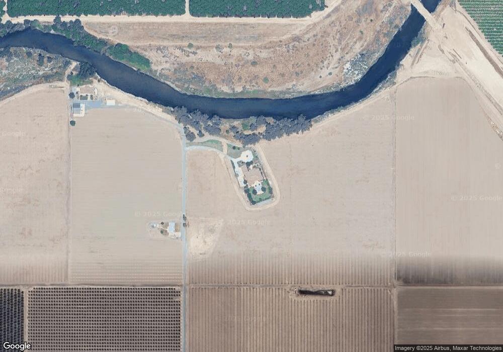
Map
Nearby Homes
- 9 1/2 Avenue
- 1342 S 8th Ave
- 0 Dover Ave
- 7476 E Mount Whitney Ave
- 6585 Murphy Ave
- 9700 Excelsior Ave
- 4603 12th Ave
- 12837 Douglas Ave
- 5721 E Riverdale Ave
- 5675 E Letson Ave
- 0 Elder Ave Unit 232318
- 5775 N 11th Ave
- 0 S Sunnyside Ave
- 5750 Benicia Ave
- 10454 E Clarkson Ave
- 0 E Clovis Unit 202404013
- 0 Flint Ave
- 14818 Flint Ave
- 3351 N Bautista Ave
- 0 27 53 Acs Unit 634101
- 2016 9 1/2 Ave
- 0 9th (West) Ave
- 2004 9th Ave
- 2250 9th Ave
- 2179 9th Ave
- 2251 9th Ave
- 0 9th (East) St
- 9800 Cairo Ave
- 9874 Denver Ave
- 1600 9th Ave
- 0 9th Ave Unit 218856
- 0-0 9th Ave
- 0 9th Ave Unit 581078
- 9560 Denver Ave
- 0 Corona Ave Unit 223183
- 0 Corona Ave Unit 593418
- 0 Corona Ave Unit 223164
- 0 Corona Ave Unit 593379
- 2895 9 1/2 Ave
- 8699 Cairo Ave