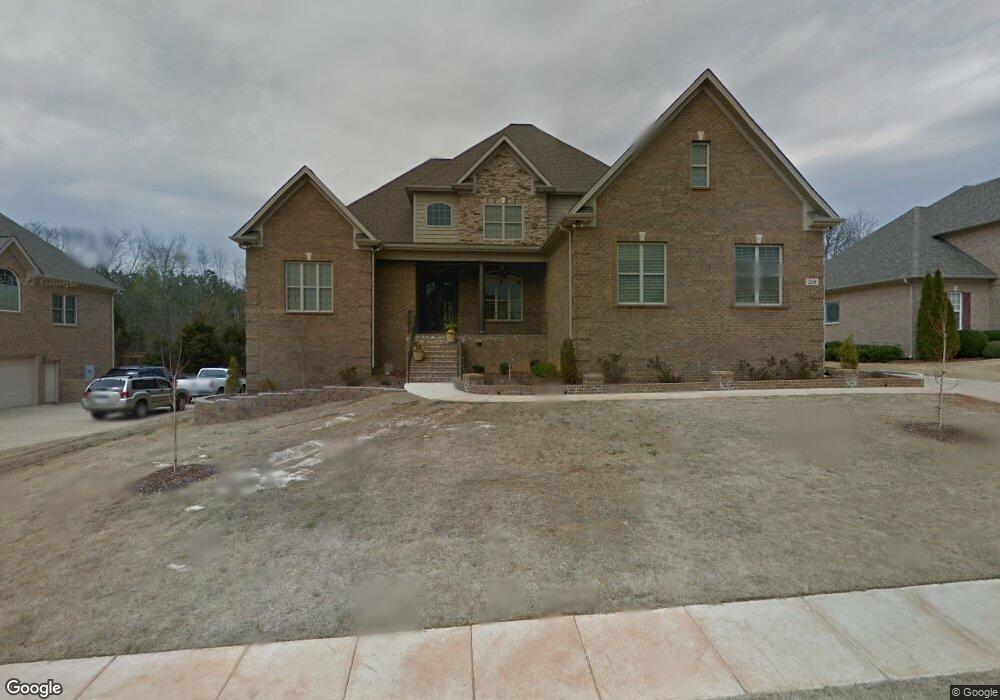
218 Avian Ln Madison, AL 35758
Estimated Value: $769,000 - $1,106,000
--
Bed
1
Bath
5,768
Sq Ft
$159/Sq Ft
Est. Value
About This Home
This home is located at 218 Avian Ln, Madison, AL 35758 and is currently estimated at $918,474, approximately $159 per square foot. 218 Avian Ln is a home with nearby schools including Columbia Elementary School, Liberty Middle School, and James Clemens High School.
Ownership History
Date
Name
Owned For
Owner Type
Purchase Details
Closed on
Mar 8, 2019
Sold by
Lasster Shannon L
Bought by
Lasseter Gary
Current Estimated Value
Home Financials for this Owner
Home Financials are based on the most recent Mortgage that was taken out on this home.
Original Mortgage
$395,000
Outstanding Balance
$347,272
Interest Rate
4.4%
Mortgage Type
New Conventional
Estimated Equity
$571,202
Purchase Details
Closed on
Jul 22, 2011
Sold by
Green Way Homes Inc
Bought by
Lassetter Gary W and Lassetter Shannon L
Purchase Details
Closed on
Jun 29, 2011
Sold by
Valley Land Co Lc
Bought by
Greenway Homes Inc
Create a Home Valuation Report for This Property
The Home Valuation Report is an in-depth analysis detailing your home's value as well as a comparison with similar homes in the area
Home Values in the Area
Average Home Value in this Area
Purchase History
| Date | Buyer | Sale Price | Title Company |
|---|---|---|---|
| Lasseter Gary | $328,850 | Jacob Title Llc | |
| Lassetter Gary W | $585,000 | None Available | |
| Greenway Homes Inc | -- | None Available |
Source: Public Records
Mortgage History
| Date | Status | Borrower | Loan Amount |
|---|---|---|---|
| Open | Lasseter Gary | $395,000 |
Source: Public Records
Tax History Compared to Growth
Tax History
| Year | Tax Paid | Tax Assessment Tax Assessment Total Assessment is a certain percentage of the fair market value that is determined by local assessors to be the total taxable value of land and additions on the property. | Land | Improvement |
|---|---|---|---|---|
| 2024 | $6,920 | $100,120 | $5,900 | $94,220 |
| 2023 | $6,920 | $96,320 | $5,900 | $90,420 |
| 2022 | $5,833 | $84,480 | $5,900 | $78,580 |
| 2021 | $5,248 | $76,060 | $5,900 | $70,160 |
| 2020 | $5,048 | $72,120 | $5,890 | $66,230 |
| 2019 | $3,949 | $69,320 | $5,890 | $63,430 |
| 2018 | $3,744 | $65,780 | $0 | $0 |
| 2017 | $3,712 | $65,220 | $0 | $0 |
| 2016 | $3,712 | $65,220 | $0 | $0 |
| 2015 | $3,712 | $65,220 | $0 | $0 |
| 2014 | $3,724 | $65,600 | $0 | $0 |
Source: Public Records
Map
Nearby Homes
- 118 Conservancy Dr
- 109 Bayberry Ln
- 111 Martingale Cir
- 117 Christy Dr
- 135 Bayberry Ln
- 107 Monument Ln
- 5 Browns Ferry Rd
- 2 Browns Ferry Rd
- 1 Browns Ferry Rd
- 107 Duchess Dr
- 125 Monument Ln
- 102 Mabscott Dr
- 305 Walden Glen Ct
- 164 Silo Hill Rd
- 137 Spotted Fawn Rd
- 122 Sunnyfield Dr
- 200 Tea Rose Ct
- 0 Neldabrook Way Unit 1056736
- 102 Kayo Rd
- 108 Sunnyfield Dr