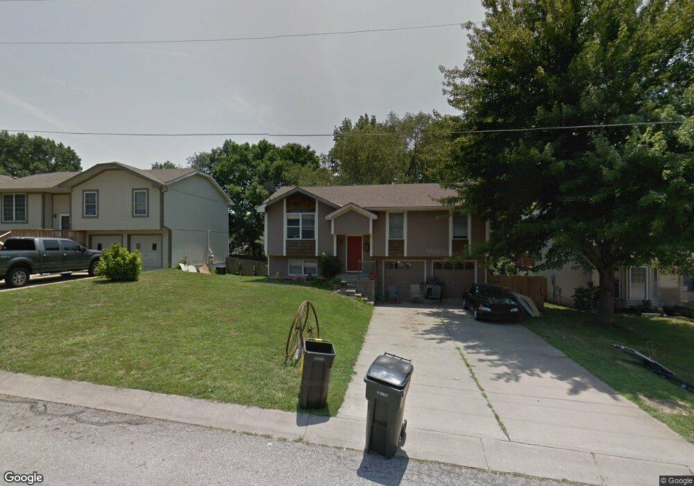
218 Debra St Lansing, KS 66043
Estimated Value: $239,750 - $277,000
3
Beds
2
Baths
1,162
Sq Ft
$222/Sq Ft
Est. Value
About This Home
This home is located at 218 Debra St, Lansing, KS 66043 and is currently estimated at $258,438, approximately $222 per square foot. 218 Debra St is a home located in Leavenworth County with nearby schools including Lansing Elementary School, Lansing Middle 6-8, and Lansing High 9-12.
Ownership History
Date
Name
Owned For
Owner Type
Purchase Details
Closed on
Jun 1, 1994
Bought by
Robinson Gregory C
Current Estimated Value
Home Financials for this Owner
Home Financials are based on the most recent Mortgage that was taken out on this home.
Original Mortgage
$132,000
Interest Rate
8.53%
Mortgage Type
New Conventional
Create a Home Valuation Report for This Property
The Home Valuation Report is an in-depth analysis detailing your home's value as well as a comparison with similar homes in the area
Home Values in the Area
Average Home Value in this Area
Purchase History
| Date | Buyer | Sale Price | Title Company |
|---|---|---|---|
| Robinson Gregory C | $86,000 | -- |
Source: Public Records
Mortgage History
| Date | Status | Borrower | Loan Amount |
|---|---|---|---|
| Closed | Robinson Gregory C | $132,000 |
Source: Public Records
Tax History
| Year | Tax Paid | Tax Assessment Tax Assessment Total Assessment is a certain percentage of the fair market value that is determined by local assessors to be the total taxable value of land and additions on the property. | Land | Improvement |
|---|---|---|---|---|
| 2025 | $3,617 | $28,322 | $4,594 | $23,728 |
| 2024 | $3,374 | $27,233 | $3,594 | $23,639 |
| 2023 | $3,374 | $26,186 | $3,594 | $22,592 |
| 2022 | $3,153 | $23,150 | $2,958 | $20,192 |
| 2021 | $2,805 | $19,594 | $2,958 | $16,636 |
| 2020 | $2,498 | $17,204 | $3,322 | $13,882 |
| 2019 | $2,412 | $16,594 | $3,322 | $13,272 |
| 2018 | $2,236 | $15,414 | $3,322 | $12,092 |
| 2017 | $2,048 | $14,112 | $3,322 | $10,790 |
| 2016 | $2,028 | $13,972 | $2,901 | $11,071 |
| 2015 | $1,956 | $13,524 | $2,901 | $10,623 |
| 2014 | $2,045 | $14,422 | $2,784 | $11,638 |
Source: Public Records
Map
Nearby Homes
- 134 Debra St
- 1100 N 4th St
- 1102 N 4th St
- 1102 N Main St
- 4 Eisenhower Rd
- 114 Emile St
- 00000 Brookwood St
- 1017 Pebble Beach Dr
- 1101 Pebble Beach Dr
- 20958 Ida St
- 530 Holiday Ct
- 124 S Main St
- 202 S Main St
- 218 E Kay St
- 950 Holiday Dr
- Lot 2 Eisenhower Rd
- 215 E Mary St
- 704 Highland Dr
- 503 S 1st St
- 728 Eisenhower Rd
Your Personal Tour Guide
Ask me questions while you tour the home.