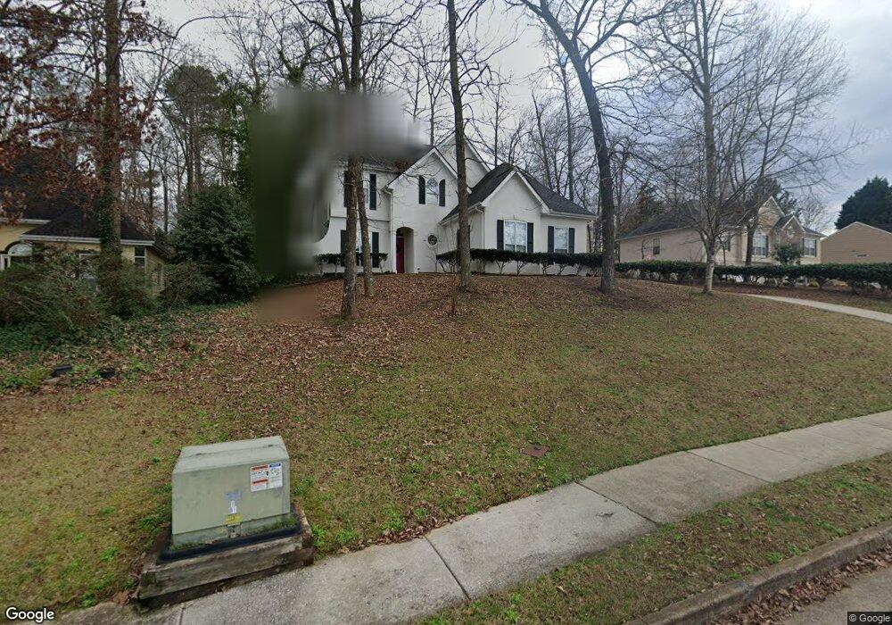
218 Kensington Trace Unit I Stockbridge, GA 30281
Estimated Value: $288,000 - $316,000
3
Beds
3
Baths
1,926
Sq Ft
$157/Sq Ft
Est. Value
About This Home
This home is located at 218 Kensington Trace Unit I, Stockbridge, GA 30281 and is currently estimated at $301,536, approximately $156 per square foot. 218 Kensington Trace Unit I is a home located in Henry County with nearby schools including Flippen Elementary School, Eagle's Landing Middle School, and Eagle's Landing High School.
Ownership History
Date
Name
Owned For
Owner Type
Purchase Details
Closed on
Mar 17, 2003
Sold by
Martell James A and Martell Lynne S
Bought by
Small Nathaniel J and Small Jeanell E
Current Estimated Value
Purchase Details
Closed on
Jun 16, 1998
Sold by
Orman Terence K and Orman Susan M
Bought by
Martelli James A
Home Financials for this Owner
Home Financials are based on the most recent Mortgage that was taken out on this home.
Original Mortgage
$134,900
Interest Rate
6.92%
Purchase Details
Closed on
Jan 31, 1995
Sold by
Oxford Homes Inc
Bought by
Orman Terence Susan
Create a Home Valuation Report for This Property
The Home Valuation Report is an in-depth analysis detailing your home's value as well as a comparison with similar homes in the area
Home Values in the Area
Average Home Value in this Area
Purchase History
| Date | Buyer | Sale Price | Title Company |
|---|---|---|---|
| Small Nathaniel J | $170,700 | -- | |
| Martelli James A | $142,000 | -- | |
| Orman Terence Susan | $136,000 | -- |
Source: Public Records
Mortgage History
| Date | Status | Borrower | Loan Amount |
|---|---|---|---|
| Previous Owner | Martelli James A | $134,900 | |
| Closed | Orman Terence Susan | -- |
Source: Public Records
Tax History Compared to Growth
Tax History
| Year | Tax Paid | Tax Assessment Tax Assessment Total Assessment is a certain percentage of the fair market value that is determined by local assessors to be the total taxable value of land and additions on the property. | Land | Improvement |
|---|---|---|---|---|
| 2025 | $1,305 | $119,080 | $16,000 | $103,080 |
| 2024 | $1,305 | $120,520 | $16,000 | $104,520 |
| 2023 | $3,666 | $124,600 | $18,000 | $106,600 |
| 2022 | $3,071 | $93,600 | $14,000 | $79,600 |
| 2021 | $2,734 | $79,360 | $14,000 | $65,360 |
| 2020 | $2,565 | $72,200 | $12,000 | $60,200 |
| 2019 | $2,368 | $67,320 | $10,000 | $57,320 |
| 2018 | $2,231 | $61,520 | $10,000 | $51,520 |
| 2016 | $1,918 | $52,400 | $8,000 | $44,400 |
| 2015 | $1,843 | $49,360 | $8,000 | $41,360 |
| 2014 | $1,706 | $45,520 | $8,000 | $37,520 |
Source: Public Records
Map
Nearby Homes
- 214 Kensington Trace
- 228 Kensington Trace
- 200 Kensington Trace
- 104 Riverside Close
- 248 Brannans Walk
- 209 Brannans Walk
- 241 Legends Trace
- 796 Rock Ln
- 601 Sawgrass Walk
- 805 Cog Hill
- 129 Breton Highlands
- 205 Legends Trace
- 418 Abbey Springs Way
- 153 Rockport Dr
- 1016 Collingtree Ct
- 152 Rockport Dr
- 129 Talon Place
- 907 Ellesmere Point
- 433 Abbey Springs Way
- 1000 Collingtree Ct
- 220 Kensington Trace
- 216 Kensington Trace
- 410 Woodton Knoll
- 411 Woodton Knoll
- 222 Kensington Trace
- 217 Kensington Trace Unit II
- 215 Kensington Trace
- 408 Woodton Knoll Unit III
- 105 Heritage Walk
- 409 Woodton Knoll Unit 3
- 211 Kensington Trace
- 224 Kensington Trace Unit 224
- 224 Kensington Trace
- 224 Kensington Trace Unit 1
- 212 Kensington Trace Unit 2
- 212 Kensington Trace
- 209 Regents Park
- 207 Regents Park Unit 1
- 406 Woodton Knoll
- 407 Woodton Knoll Unit 17