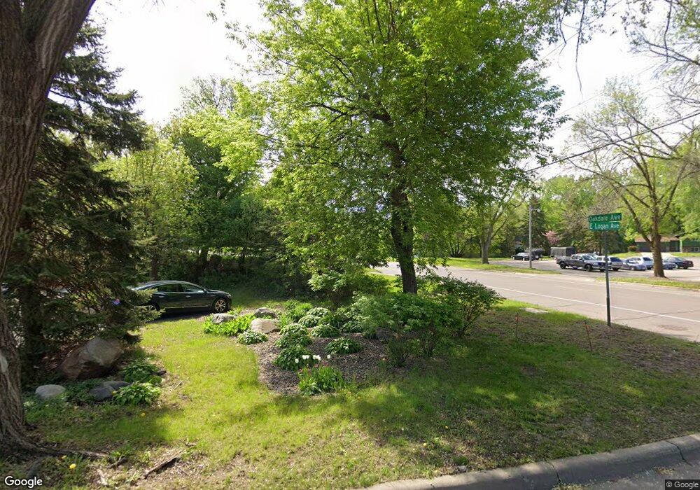
218 Logan Ave W Saint Paul, MN 55118
Estimated Value: $393,000 - $423,000
5
Beds
2
Baths
1,266
Sq Ft
$323/Sq Ft
Est. Value
About This Home
This home is located at 218 Logan Ave W, Saint Paul, MN 55118 and is currently estimated at $408,430, approximately $322 per square foot. 218 Logan Ave W is a home located in Dakota County with nearby schools including Moreland Arts & Health Sciences Magnet School, Heritage E-STEM Magnet School, and Two Rivers High School.
Ownership History
Date
Name
Owned For
Owner Type
Purchase Details
Closed on
Oct 30, 2002
Sold by
Pothen Thomas A and Pothen Margaret M
Bought by
Losinski Sharon
Current Estimated Value
Create a Home Valuation Report for This Property
The Home Valuation Report is an in-depth analysis detailing your home's value as well as a comparison with similar homes in the area
Home Values in the Area
Average Home Value in this Area
Purchase History
| Date | Buyer | Sale Price | Title Company |
|---|---|---|---|
| Losinski Sharon | $220,000 | -- |
Source: Public Records
Tax History Compared to Growth
Tax History
| Year | Tax Paid | Tax Assessment Tax Assessment Total Assessment is a certain percentage of the fair market value that is determined by local assessors to be the total taxable value of land and additions on the property. | Land | Improvement |
|---|---|---|---|---|
| 2024 | $4,880 | $371,200 | $90,700 | $280,500 |
| 2023 | $4,880 | $380,100 | $96,100 | $284,000 |
| 2022 | $4,480 | $373,200 | $95,700 | $277,500 |
| 2021 | $4,120 | $331,700 | $83,300 | $248,400 |
| 2020 | $5,200 | $317,400 | $79,300 | $238,100 |
| 2019 | $3,604 | $296,200 | $75,500 | $220,700 |
| 2018 | $3,536 | $261,900 | $70,600 | $191,300 |
| 2017 | $3,244 | $267,200 | $67,200 | $200,000 |
| 2016 | $3,112 | $238,200 | $61,100 | $177,100 |
| 2015 | $3,131 | $213,242 | $55,677 | $157,565 |
| 2014 | -- | $207,792 | $51,393 | $156,399 |
| 2013 | -- | $190,788 | $46,785 | $144,003 |
Source: Public Records
Map
Nearby Homes
- 63 Langer Cir
- 158 Southwind Ln
- 69 Langer Cir
- 111 Imperial Dr W Unit 102
- 100 Imperial Dr W Unit 204
- 280 Edith Dr
- 1450 Bidwell St Unit 110
- 1277 Hall Ave
- 1384 Smith Ave S
- 242 Butler Ave W
- 389 Edith Dr
- 1220 Stryker Ave
- 1062 Ohio St
- 1513 Smith Ave S
- 69 Amelia Ave
- 1084 Hall Ave
- 170 Wentworth Ave W Unit F
- 1620 Charlton St Unit 109
- 1016 Bidwell St
- 180 Wentworth Ave W Unit E
- 224 Logan Ave W
- 210 Logan Ave W
- 210 Logan Ave W
- 210 210 Logan-Avenue-w
- 50 Langer Cir
- 52 Langer Cir
- 232 Logan Ave W
- 48 Langer Cir
- 240 Logan Ave W
- 54 Langer Cir
- 215 Logan Ave W
- 219 Logan Ave W
- 48 48 Langer-Circle-
- 209 Logan Ave W
- 225 Logan Ave W
- 190 Logan Ave W
- 44 Langer Cir
- 229 Logan Ave W
- 55 Langer Cir
- 205 Logan Ave W
