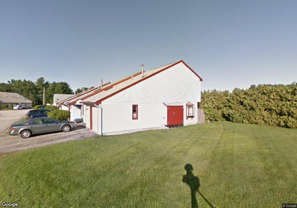
218 Millwright Dr Nashua, NH 03063
Northwest Nashua NeighborhoodEstimated Value: $304,000 - $331,000
2
Beds
1
Bath
1,072
Sq Ft
$296/Sq Ft
Est. Value
About This Home
This home is located at 218 Millwright Dr, Nashua, NH 03063 and is currently estimated at $317,448, approximately $296 per square foot. 218 Millwright Dr is a home located in Hillsborough County with nearby schools including Birch Hill Elementary School, Pennichuck Middle School, and Nashua High School North.
Ownership History
Date
Name
Owned For
Owner Type
Purchase Details
Closed on
Sep 1, 2010
Sold by
Whitestone Realty Asso
Bought by
Lee Jy Fang
Current Estimated Value
Purchase Details
Closed on
May 6, 2005
Sold by
Pszenny Thomas and Pszenny Kerri A
Bought by
Lee Jy Fang
Home Financials for this Owner
Home Financials are based on the most recent Mortgage that was taken out on this home.
Original Mortgage
$99,600
Interest Rate
6.01%
Create a Home Valuation Report for This Property
The Home Valuation Report is an in-depth analysis detailing your home's value as well as a comparison with similar homes in the area
Home Values in the Area
Average Home Value in this Area
Purchase History
| Date | Buyer | Sale Price | Title Company |
|---|---|---|---|
| Lee Jy Fang | $39,700 | -- | |
| Lee Jy Fang | $124,500 | -- |
Source: Public Records
Mortgage History
| Date | Status | Borrower | Loan Amount |
|---|---|---|---|
| Previous Owner | Lee Jy Fang | $20,000 | |
| Previous Owner | Lee Jy Fang | $99,600 |
Source: Public Records
Tax History Compared to Growth
Tax History
| Year | Tax Paid | Tax Assessment Tax Assessment Total Assessment is a certain percentage of the fair market value that is determined by local assessors to be the total taxable value of land and additions on the property. | Land | Improvement |
|---|---|---|---|---|
| 2024 | $4,385 | $275,800 | $0 | $275,800 |
| 2023 | $3,717 | $203,900 | $0 | $203,900 |
| 2022 | $3,684 | $203,900 | $0 | $203,900 |
| 2021 | $3,444 | $148,300 | $0 | $148,300 |
| 2020 | $3,405 | $150,600 | $0 | $150,600 |
| 2019 | $3,277 | $150,600 | $0 | $150,600 |
| 2018 | $3,194 | $150,600 | $0 | $150,600 |
| 2017 | $2,700 | $104,700 | $0 | $104,700 |
| 2016 | $2,625 | $104,700 | $0 | $104,700 |
| 2015 | $2,568 | $104,700 | $0 | $104,700 |
| 2014 | $2,518 | $104,700 | $0 | $104,700 |
Source: Public Records
Map
Nearby Homes
- 218 Millwright Dr Unit 218
- 262 Stonebridge Dr Unit 262
- 262 Stonebridge Dr
- 3 Roedean Dr Unit C-207
- 2 New Haven Dr Unit E303
- 5 Blackstone Dr Unit 4
- 5 New Haven Dr Unit H-305
- 5 Dumaine Ave Unit N
- 5 Dumaine Ave Unit B
- 5 Dumaine Ave Unit C
- 18 Baymeadow Dr
- 613 Amherst St
- 75 Deerwood Dr Unit B
- 33 Thornton Rd
- 70 Tinker Rd
- 10 Berwick St
- 11 Chatham St
- 26 Andover Down Unit 276
- 5 Stratham Green Unit U426
- 8 Guilford Ln Unit U27
- 218 Millwright Dr
- 219 Millwright Dr
- 219 Millwright Dr
- 219 Millwright Dr Unit 219
- 220 Millwright Dr
- 220 Millwright Dr
- 220 Millwright Dr Unit 220
- 222 Millwright Dr
- 222 Millwright Dr
- 222 Millwright Dr Unit 222
- 202 Millwright Dr
- 202 Millwright Dr
- 202 Millwright Dr Unit 202
- 223 Millwright Dr
- 223 Millwright Dr
- 223 Millwright Dr Unit 223
- 201 Millwright Dr
- 201 Millwright Dr
- 221 Millwright Dr
- 221 Millwright Dr