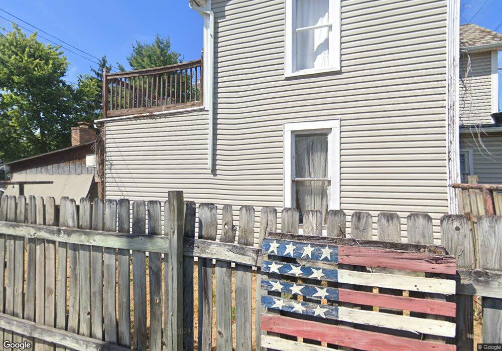
218 W Fair Ave Lancaster, OH 43130
Estimated Value: $192,000 - $268,000
3
Beds
2
Baths
1,975
Sq Ft
$120/Sq Ft
Est. Value
About This Home
This home is located at 218 W Fair Ave, Lancaster, OH 43130 and is currently estimated at $236,368, approximately $119 per square foot. 218 W Fair Ave is a home located in Fairfield County with nearby schools including Thomas Ewing Junior High School, Lancaster High School, and St Mary Elementary School.
Ownership History
Date
Name
Owned For
Owner Type
Purchase Details
Closed on
Oct 4, 2003
Sold by
Romano Gregory F
Bought by
Romano Armand J and Romano Robin L
Current Estimated Value
Home Financials for this Owner
Home Financials are based on the most recent Mortgage that was taken out on this home.
Original Mortgage
$62,000
Outstanding Balance
$29,052
Interest Rate
6.87%
Mortgage Type
Purchase Money Mortgage
Estimated Equity
$207,316
Purchase Details
Closed on
Apr 3, 1992
Sold by
Romano Armand
Bought by
Romano Gregory F
Create a Home Valuation Report for This Property
The Home Valuation Report is an in-depth analysis detailing your home's value as well as a comparison with similar homes in the area
Home Values in the Area
Average Home Value in this Area
Purchase History
| Date | Buyer | Sale Price | Title Company |
|---|---|---|---|
| Romano Armand J | -- | Hocking Valley Title Agency | |
| Romano Gregory F | $28,000 | -- |
Source: Public Records
Mortgage History
| Date | Status | Borrower | Loan Amount |
|---|---|---|---|
| Open | Romano Armand J | $62,000 |
Source: Public Records
Tax History
| Year | Tax Paid | Tax Assessment Tax Assessment Total Assessment is a certain percentage of the fair market value that is determined by local assessors to be the total taxable value of land and additions on the property. | Land | Improvement |
|---|---|---|---|---|
| 2025 | $3,315 | $58,520 | $13,980 | $44,540 |
| 2024 | $3,315 | $36,870 | $6,160 | $30,710 |
| 2023 | $1,341 | $36,870 | $6,160 | $30,710 |
| 2022 | $1,346 | $36,870 | $6,160 | $30,710 |
| 2021 | $1,429 | $36,650 | $6,160 | $30,490 |
| 2020 | $1,369 | $36,650 | $6,160 | $30,490 |
| 2019 | $1,301 | $36,650 | $6,160 | $30,490 |
| 2018 | $1,062 | $29,500 | $6,160 | $23,340 |
| 2017 | $1,062 | $28,400 | $5,330 | $23,070 |
| 2016 | $1,034 | $28,400 | $5,330 | $23,070 |
| 2015 | $1,071 | $28,530 | $5,330 | $23,200 |
| 2014 | $1,020 | $28,530 | $5,330 | $23,200 |
| 2013 | $1,020 | $28,530 | $5,330 | $23,200 |
Source: Public Records
Map
Nearby Homes
- 925 N Columbus St
- 336 Reber Ave
- 330 Park St
- 130 W Fair Ave
- 123 Arnold Ave
- 1156 Forest Rose Ave
- 820 N Broad St
- 0 Hillside Ave
- 526 N Columbus St
- 165 Lake St
- 515 N Columbus St
- 148 Marks Ave
- 0 Marks Ave Unit 225036443
- 181 Marks Ave
- 233 Union St
- 600 N High St
- 311 E Allen St
- 844 Washington Ave
- 0 Slocum Ave
- 621 Washington Ave
- 222 W Fair Ave
- 228 W Fair Ave
- 845 N Columbus St
- 843 N Columbus St
- 835 N Columbus St
- 839 N Columbus St
- 839 N Columbus St Unit 1
- 839 N Columbus St Unit 2
- 234 W Fair Ave
- 818 Forest Rose Ave
- 905 N Columbus St
- 849 N Columbus St
- 236 W Fair Ave
- 822 Forest Rose Ave
- 219 W Fair Ave
- 223 W Fair Ave
- 225 W Fair Ave
- 829 N Columbus St
- 819 N Columbus St
- 911 N Columbus St
Your Personal Tour Guide
Ask me questions while you tour the home.