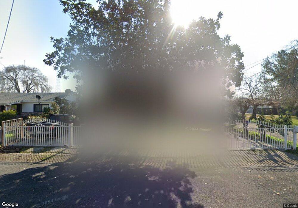
2180 Michael Ave Stockton, CA 95206
Kennedy NeighborhoodEstimated Value: $160,000 - $394,000
2
Beds
3
Baths
1,381
Sq Ft
$227/Sq Ft
Est. Value
About This Home
This home is located at 2180 Michael Ave, Stockton, CA 95206 and is currently estimated at $313,622, approximately $227 per square foot. 2180 Michael Ave is a home located in San Joaquin County with nearby schools including Monroe Elementary School, Alexander Hamilton Elementary, and Van Buren Elementary School.
Ownership History
Date
Name
Owned For
Owner Type
Purchase Details
Closed on
Apr 5, 2025
Sold by
Sanchez Fidencio H
Bought by
Torres Armandina and Sanchez Maria Alvarado
Current Estimated Value
Purchase Details
Closed on
Sep 8, 2014
Sold by
Straw Gerald R
Bought by
Serrano Eraclio and Serrano Adriana Nicole
Purchase Details
Closed on
May 5, 2006
Sold by
Sanchez Maria Alvarado and Torres Maria A
Bought by
Sanchez Fidencio H and Sanchez Maria Alvarado
Purchase Details
Closed on
Jul 1, 2002
Sold by
Rivera Eufemia E
Bought by
Straw Gerald R
Purchase Details
Closed on
May 27, 1983
Sold by
Alvarado Julio
Bought by
Torres Maria A
Create a Home Valuation Report for This Property
The Home Valuation Report is an in-depth analysis detailing your home's value as well as a comparison with similar homes in the area
Home Values in the Area
Average Home Value in this Area
Purchase History
| Date | Buyer | Sale Price | Title Company |
|---|---|---|---|
| Torres Armandina | -- | None Listed On Document | |
| Serrano Eraclio | $5,000 | None Available | |
| Sanchez Fidencio H | -- | None Available | |
| Straw Gerald R | $40,000 | Old Republic Title Company | |
| Torres Maria A | -- | -- |
Source: Public Records
Tax History
| Year | Tax Paid | Tax Assessment Tax Assessment Total Assessment is a certain percentage of the fair market value that is determined by local assessors to be the total taxable value of land and additions on the property. | Land | Improvement |
|---|---|---|---|---|
| 2025 | $763 | $53,107 | $11,304 | $41,803 |
| 2024 | $751 | $52,067 | $11,083 | $40,984 |
| 2023 | $737 | $51,047 | $10,866 | $40,181 |
| 2022 | $730 | $50,047 | $10,653 | $39,394 |
| 2021 | $707 | $49,067 | $10,445 | $38,622 |
| 2020 | $715 | $48,564 | $10,338 | $38,226 |
| 2019 | $711 | $47,613 | $10,136 | $37,477 |
| 2018 | $715 | $46,681 | $9,938 | $36,743 |
| 2017 | $686 | $45,767 | $9,744 | $36,023 |
| 2016 | $692 | $44,869 | $9,553 | $35,316 |
| 2014 | $741 | $43,331 | $9,225 | $34,106 |
Source: Public Records
Map
Nearby Homes
- 2150 Michael Ave
- 2291 Amboy Ave
- 2258 E Loomis Rd
- 2306 Amboy Ave
- 2297 Amboy Ave
- 2278 E Loomis Rd
- 2318 Amboy Ave
- 2315 Amboy Ave
- 2318 E Loomis Rd
- 2328 E Loomis Rd
- 2348 E Amboy Ave
- 2348 E Loomis Rd
- 2348 Amboy Ave
- 2511 S Laurel St
- 3338 Zamora Way
- 1703 Ralph Ave
- 3243 Anne St
- 3260 Belleview Ave
- 3320 Volney St
- 3044 Munford Ave
- 2162 Michael Ave
- 2186 Michael Ave
- 2156 Michael Ave
- 2192 Michael Ave
- 2148 Michael Ave
- 2136 Michael Ave
- 2175 Michael Ave
- 2169 Michael Ave
- 2132 Michael Ave
- 2157 Michael Ave
- 2151 Michael Ave
- 2139 Michael Ave
- 2120 Michael Ave
- 3024 S Laurel St
- 3020 S Laurel St
- 3118 S Laurel St
- 2151 Ralph Ave
- 2110 Michael Ave
- 2125 Michael Ave
- 3138 S Laurel St
Your Personal Tour Guide
Ask me questions while you tour the home.