21801 145th St Anamosa, IA 52205
Estimated Value: $528,000 - $983,129
4
Beds
3
Baths
4,069
Sq Ft
$183/Sq Ft
Est. Value
About This Home
This home is located at 21801 145th St, Anamosa, IA 52205 and is currently estimated at $745,710, approximately $183 per square foot. 21801 145th St is a home located in Jones County with nearby schools including Strawberry Hill Elementary School, Anamosa Middle School, and Anamosa High School.
Ownership History
Date
Name
Owned For
Owner Type
Purchase Details
Closed on
Dec 20, 2024
Sold by
Robertson Heather L and Robertson Tim B
Bought by
Robertson Family Trust and Robertson
Current Estimated Value
Purchase Details
Closed on
Feb 27, 2012
Sold by
Ross Vicki L
Bought by
Neff Heather L
Home Financials for this Owner
Home Financials are based on the most recent Mortgage that was taken out on this home.
Original Mortgage
$39,100
Interest Rate
4.01%
Mortgage Type
Credit Line Revolving
Create a Home Valuation Report for This Property
The Home Valuation Report is an in-depth analysis detailing your home's value as well as a comparison with similar homes in the area
Home Values in the Area
Average Home Value in this Area
Purchase History
| Date | Buyer | Sale Price | Title Company |
|---|---|---|---|
| Robertson Family Trust | -- | None Listed On Document | |
| Neff Heather L | $391,000 | None Available |
Source: Public Records
Mortgage History
| Date | Status | Borrower | Loan Amount |
|---|---|---|---|
| Previous Owner | Neff Heather L | $39,100 | |
| Previous Owner | Neff Heather L | $312,800 |
Source: Public Records
Tax History Compared to Growth
Tax History
| Year | Tax Paid | Tax Assessment Tax Assessment Total Assessment is a certain percentage of the fair market value that is determined by local assessors to be the total taxable value of land and additions on the property. | Land | Improvement |
|---|---|---|---|---|
| 2025 | $11,680 | $963,760 | $62,060 | $901,700 |
| 2024 | $11,680 | $908,920 | $45,000 | $863,920 |
| 2023 | $11,188 | $895,730 | $45,000 | $850,730 |
| 2022 | $1,904 | $623,630 | $12,090 | $611,540 |
| 2021 | $1,904 | $133,640 | $12,090 | $121,550 |
| 2020 | $6,116 | $416,470 | $12,090 | $404,380 |
| 2019 | $5,204 | $342,160 | $0 | $0 |
| 2018 | $4,934 | $342,160 | $0 | $0 |
| 2017 | $4,712 | $322,900 | $0 | $0 |
| 2016 | $4,612 | $322,900 | $0 | $0 |
| 2015 | $4,612 | $308,870 | $0 | $0 |
| 2014 | $4,586 | $308,870 | $0 | $0 |
| 2013 | $4,418 | $308,870 | $32,000 | $276,870 |
Source: Public Records
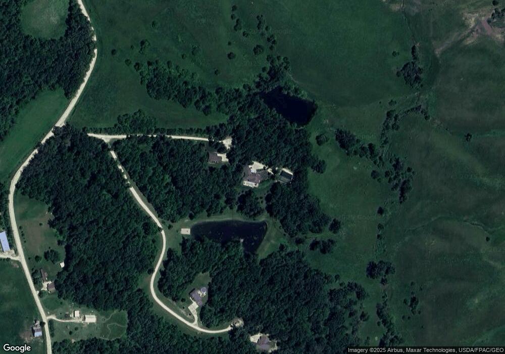
Map
Nearby Homes
- 13294 212th Ave
- 408 Holt St
- 420 Knoll St
- 121 N Sales Ave
- 12401 229th Ave
- 227th Ave and E-34
- 114 Therese Ave
- 219 N Ford St
- 204 N Huber St
- 304 E Plum St
- 105 N High St
- 605 W Main St
- 207 N Davis St
- 501 N Division St
- 302 N Pratt St
- 500 E Hickory St
- 223 Wilson Ct
- 100 E 1st St
- 205 S Ford St
- 105 N Division St
- 21801 145th St
- 21853 145th St
- 21873 145th St
- 21923 145th St
- 14306 Blackberry Ln
- 14308 Blackberry Ln
- 14472 Blackberry Ln
- 14382 Blackberry Ln
- 14304 Blackberry Ln
- 14320 Blackberry Ln
- 14453 Blackberry Ln
- 14407 Blackberry Ln
- 14473 Blackberry Ln
- 14309 Blackberry Ln
- 14383 Blackberry Ln
- 14319 Blackberry Ln
- 14325 Blackberry Ln
- 14345 Blackberry Ln
- 21993 145th St
- 14104 Violet Rd