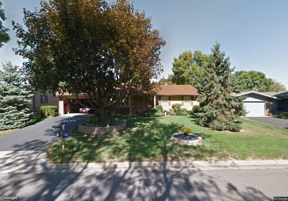
2183 Maple Ln E Saint Paul, MN 55109
Maplewood Heights NeighborhoodEstimated Value: $342,712 - $392,000
2
Beds
2
Baths
864
Sq Ft
$428/Sq Ft
Est. Value
About This Home
This home is located at 2183 Maple Ln E, Saint Paul, MN 55109 and is currently estimated at $370,178, approximately $428 per square foot. 2183 Maple Ln E is a home located in Ramsey County with nearby schools including Richardson Elementary School, John Glenn Middle School, and Christ Lutheran School.
Ownership History
Date
Name
Owned For
Owner Type
Purchase Details
Closed on
Dec 14, 2018
Sold by
Abendroth Laurel Ann and Abendroth Todd
Bought by
Chang Yeng and Yang Shoua
Current Estimated Value
Home Financials for this Owner
Home Financials are based on the most recent Mortgage that was taken out on this home.
Original Mortgage
$229,890
Outstanding Balance
$201,716
Interest Rate
4.6%
Mortgage Type
New Conventional
Estimated Equity
$168,462
Create a Home Valuation Report for This Property
The Home Valuation Report is an in-depth analysis detailing your home's value as well as a comparison with similar homes in the area
Home Values in the Area
Average Home Value in this Area
Purchase History
| Date | Buyer | Sale Price | Title Company |
|---|---|---|---|
| Chang Yeng | $237,000 | Titlesmart Inc |
Source: Public Records
Mortgage History
| Date | Status | Borrower | Loan Amount |
|---|---|---|---|
| Open | Chang Yeng | $229,890 |
Source: Public Records
Tax History
| Year | Tax Paid | Tax Assessment Tax Assessment Total Assessment is a certain percentage of the fair market value that is determined by local assessors to be the total taxable value of land and additions on the property. | Land | Improvement |
|---|---|---|---|---|
| 2025 | $4,584 | $343,300 | $69,500 | $273,800 |
| 2023 | $4,584 | $328,000 | $69,500 | $258,500 |
| 2022 | $3,726 | $320,000 | $69,500 | $250,500 |
| 2021 | $3,472 | $259,900 | $69,500 | $190,400 |
| 2020 | $3,980 | $248,900 | $69,500 | $179,400 |
| 2019 | $3,324 | $263,500 | $69,500 | $194,000 |
| 2018 | $3,288 | $228,000 | $69,500 | $158,500 |
| 2017 | $3,406 | $220,300 | $69,500 | $150,800 |
| 2016 | $3,126 | $0 | $0 | $0 |
| 2015 | $2,994 | $202,700 | $61,900 | $140,800 |
| 2014 | $2,474 | $0 | $0 | $0 |
Source: Public Records
Map
Nearby Homes
- 2245 Maple Ln E
- 2974 Howard St N
- 2946 Mcknight Rd N
- 2067 Mesabi Ave
- 2724 Mcknight Rd N
- 2065 Woodlynn Ave
- 2701 Gerald Ave
- 3084 Chisholm Ct N
- 2662 Delaware Ave
- 2654 Delaware Ave
- 2327 17th Ave E
- 2333 17th Ave E
- 2339 17th Ave E
- 2345 17th Ave E
- 2308 16th Ave E
- 2416 14th Ave E
- 2522 15th Ave E
- 2521 Sumac Ridge
- 2603 Margaret St N
- 2523 Sumac Ridge
- 2177 Maple Ln E
- 2189 Maple Ln E
- 2171 Maple Ln E
- 2936 Winthrop Dr
- 2942 Winthrop Dr
- 2182 Maple Ln E
- 2188 Maple Ln E
- 2176 Maple Ln E
- 2933 Howard St N
- 2194 Maple Ln E
- 2163 Maple Ln E
- 2948 Winthrop Dr
- 2170 Maple Ln E
- 2930 Winthrop Dr
- 2207 Maple Ln E
- 2926 Howard St N
- 2204 Maple Ln E
- 2941 Howard St N
- 2954 Winthrop Dr
- 2162 Maple Ln E
Your Personal Tour Guide
Ask me questions while you tour the home.