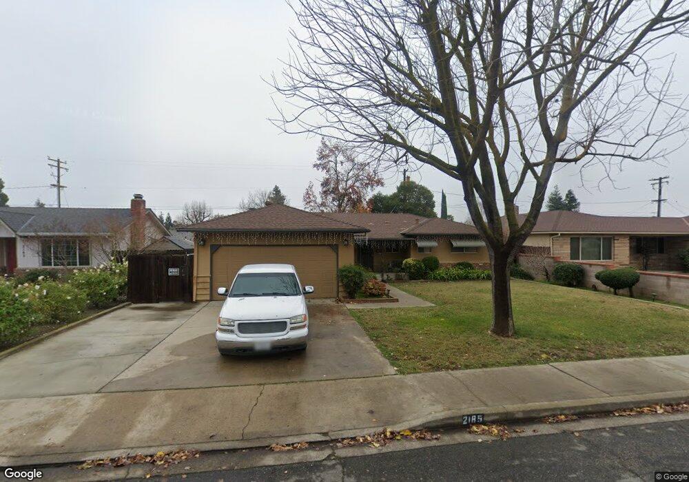
2185 Annhurst Ave Turlock, CA 95382
Estimated Value: $377,000 - $435,000
About This Home
This home is located at 2185 Annhurst Ave, Turlock, CA 95382 and is currently estimated at $409,142, approximately $335 per square foot. 2185 Annhurst Ave is a home located in Stanislaus County with nearby schools including Crowell Elementary School, Marvin A. Dutcher Middle School, and Turlock Junior High School.
Ownership History
We collect this data history from publicly available records. To have your information removed, we recommend requesting removal directly through your county’s website.
Purchase Details
Home Financials for this Owner
Home Financials are based on the most recent Mortgage that was taken out on this home.Purchase Details
Purchase History
We collect this data history from publicly available records. To have your information removed, we recommend requesting removal directly through your county’s website.
| Date | Buyer | Sale Price | Title Company |
|---|---|---|---|
| $100,000 | First American Title Company | ||
| -- | -- |
Mortgage History
We collect this data history from publicly available records. To have your information removed, we recommend requesting removal directly through your county’s website.
| Date | Status | Borrower | Loan Amount |
|---|---|---|---|
| Previous Owner | $112,500 |
Tax History
We collect this data history from publicly available records. To have your information removed, we recommend requesting removal directly through your county’s website.
| Year | Tax Paid | Tax Assessment Tax Assessment Total Assessment is a certain percentage of the fair market value that is determined by local assessors to be the total taxable value of land and additions on the property. | Land | Improvement |
|---|---|---|---|---|
| 2025 | $1,702 | $165,347 | $49,769 | $115,578 |
| 2024 | $1,668 | $162,106 | $48,794 | $113,312 |
| 2023 | $1,664 | $158,929 | $47,838 | $111,091 |
| 2022 | $1,642 | $155,813 | $46,900 | $108,913 |
| 2021 | $1,616 | $152,759 | $45,981 | $106,778 |
| 2020 | $1,604 | $151,194 | $45,510 | $105,684 |
| 2019 | $1,576 | $148,230 | $44,618 | $103,612 |
| 2018 | $1,573 | $145,325 | $43,744 | $101,581 |
| 2017 | $1,535 | $142,477 | $42,887 | $99,590 |
| 2016 | $1,432 | $139,685 | $42,047 | $97,638 |
| 2015 | $1,418 | $137,588 | $41,416 | $96,172 |
| 2014 | $1,403 | $134,894 | $40,605 | $94,289 |
Map
- 2120 Annhurst Ave
- 1945 Annhurst Ave
- 2500 Greenboro St
- 1980 Clemson Ct
- 2300 Drew Ave
- 1760 Valparaiso Dr
- 215 E Hawkeye Ave
- 2160 Georgia Way
- 2675 Jeannie Ct
- 1440 Windsor Ct
- 2900 Andre Ln Unit 237
- 2900 Andre Ln Unit 241
- 2900 Andre Ln Unit 144
- 2900 Andre Ln
- 3140 Kellogg Ave
- 1366 Geer Rd
- 1300 Windsor Ct
- 1260 Windsor Ct
- 631 W Minnesota Ave
- 1227 Windsor Ct
- 2165 Annhurst Ave
- 2195 Annhurst Ave
- 2160 Loyola Way
- 2200 Loyola Way
- 2145 Annhurst Ave
- 2205 Annhurst Ave
- 2140 Loyola Way
- 2220 Loyola Way
- 360 Vassar Ave
- 2160 Annhurst Ave
- 2125 Annhurst Ave
- 2225 Annhurst Ave
- 2120 Loyola Way
- 2140 Annhurst Ave
- 295 Rutgers Ave
- 2105 Annhurst Ave
- 2100 Loyola Way
- 2185 Loyola Way
- 2165 Loyola Way
- 2265 Annhurst Ave
Ask me questions while you tour the home.